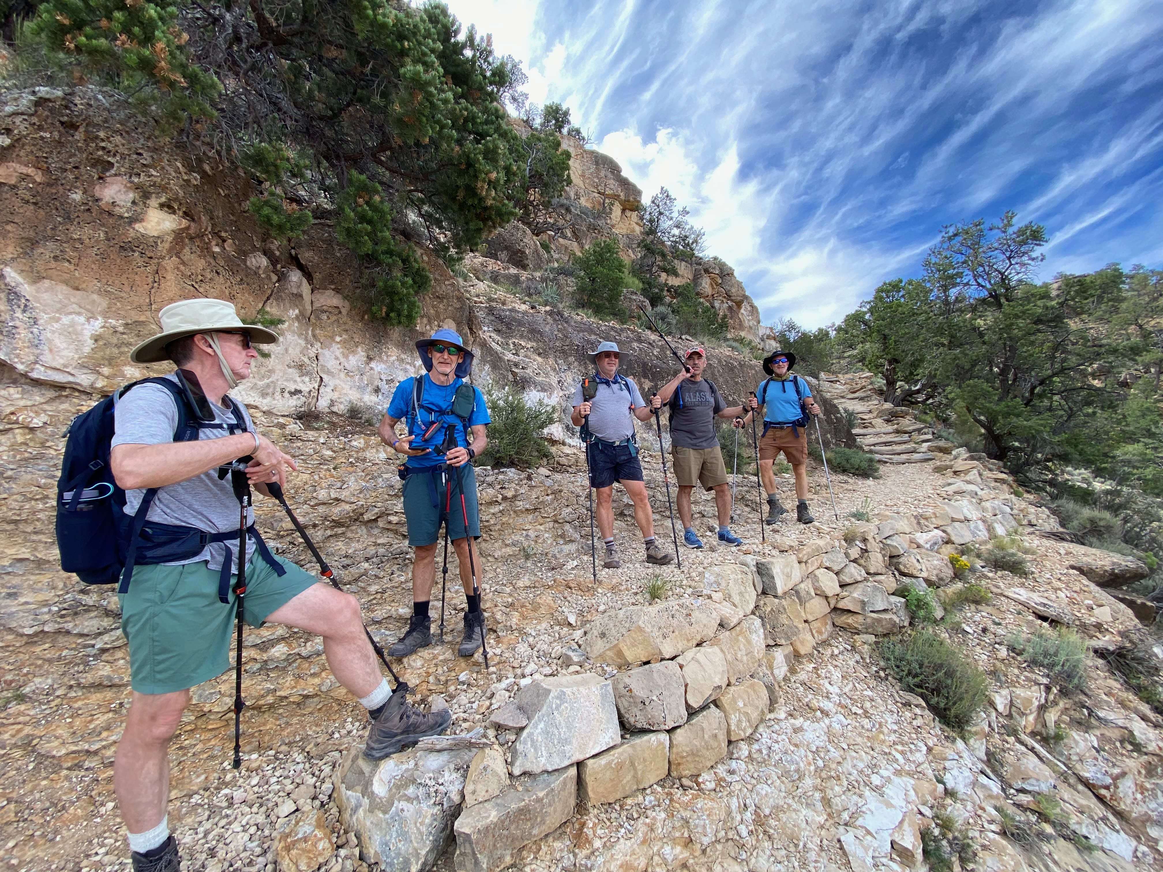
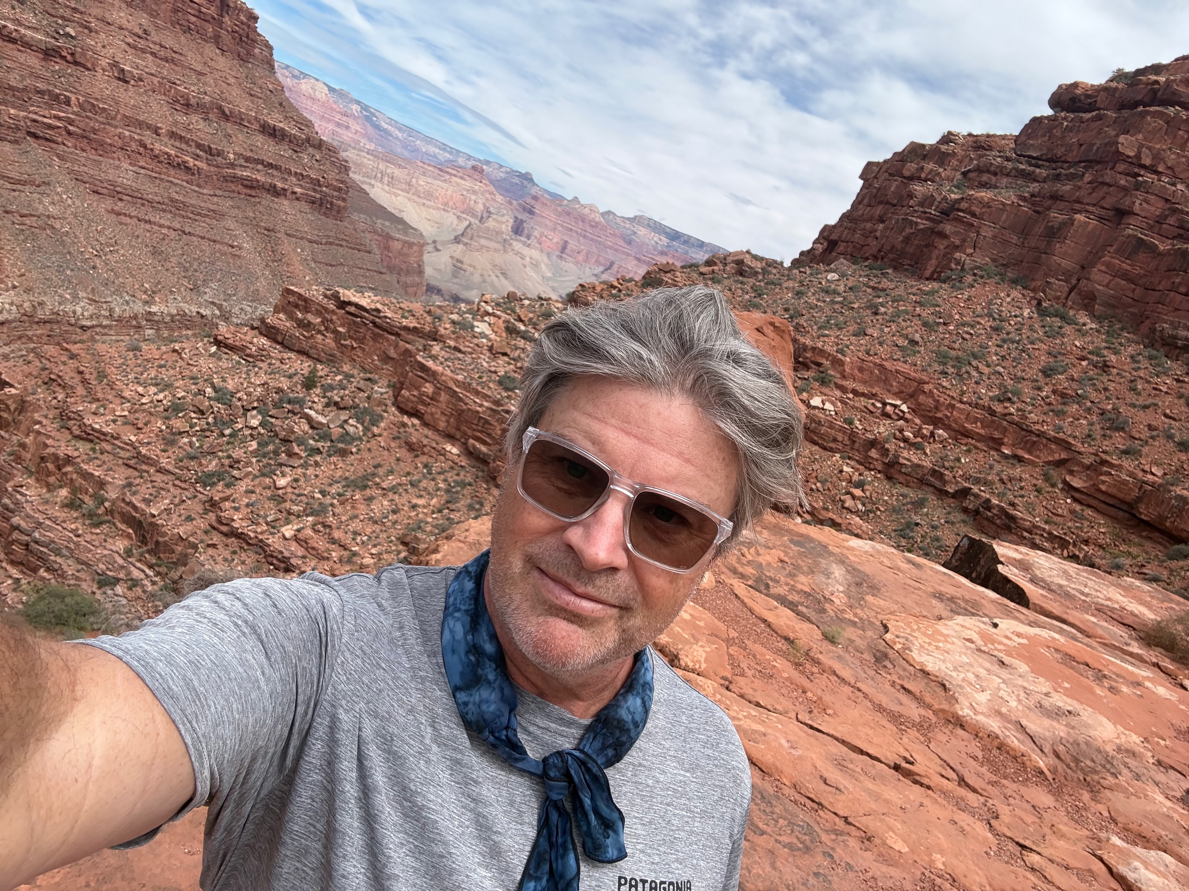
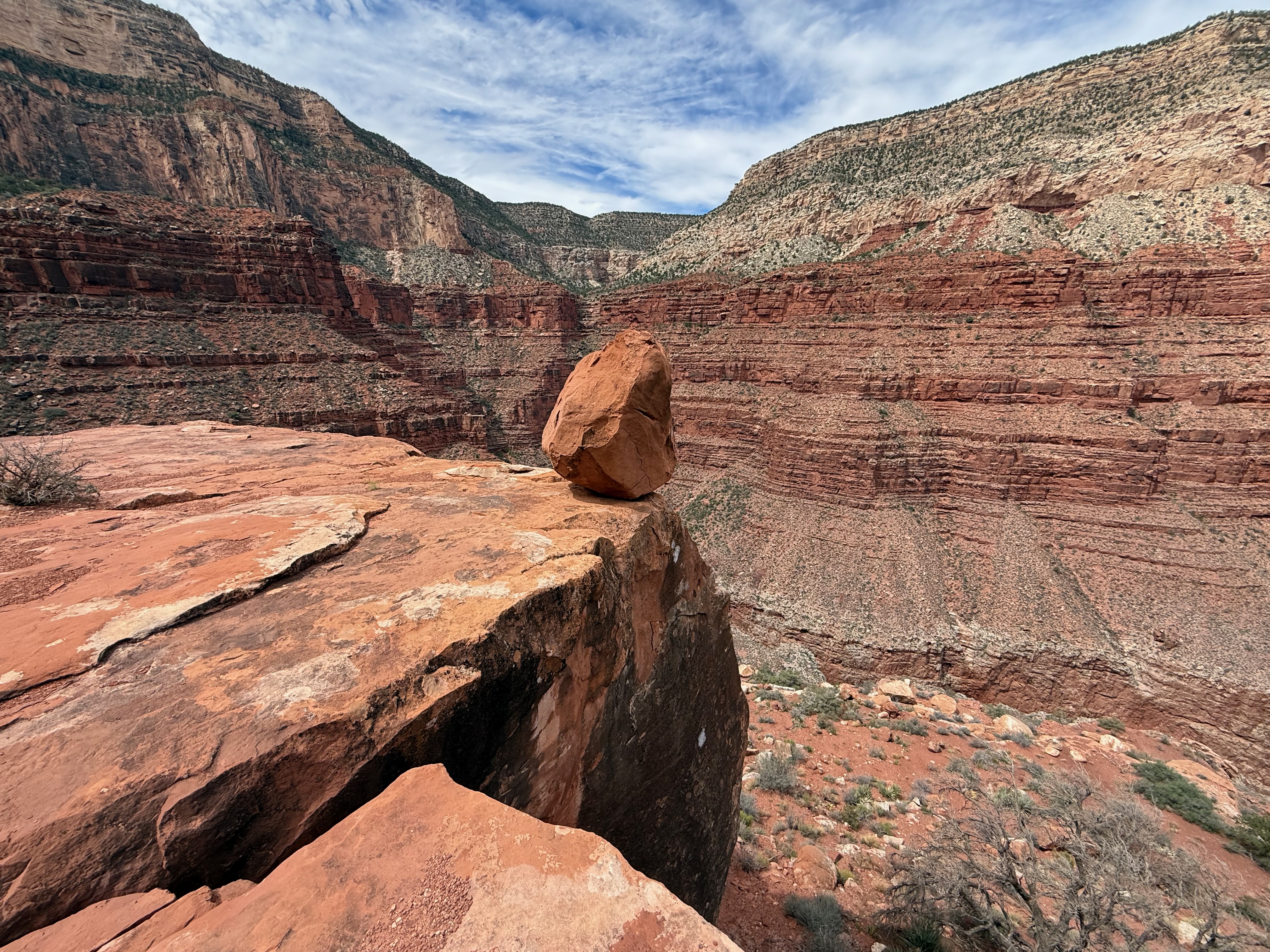
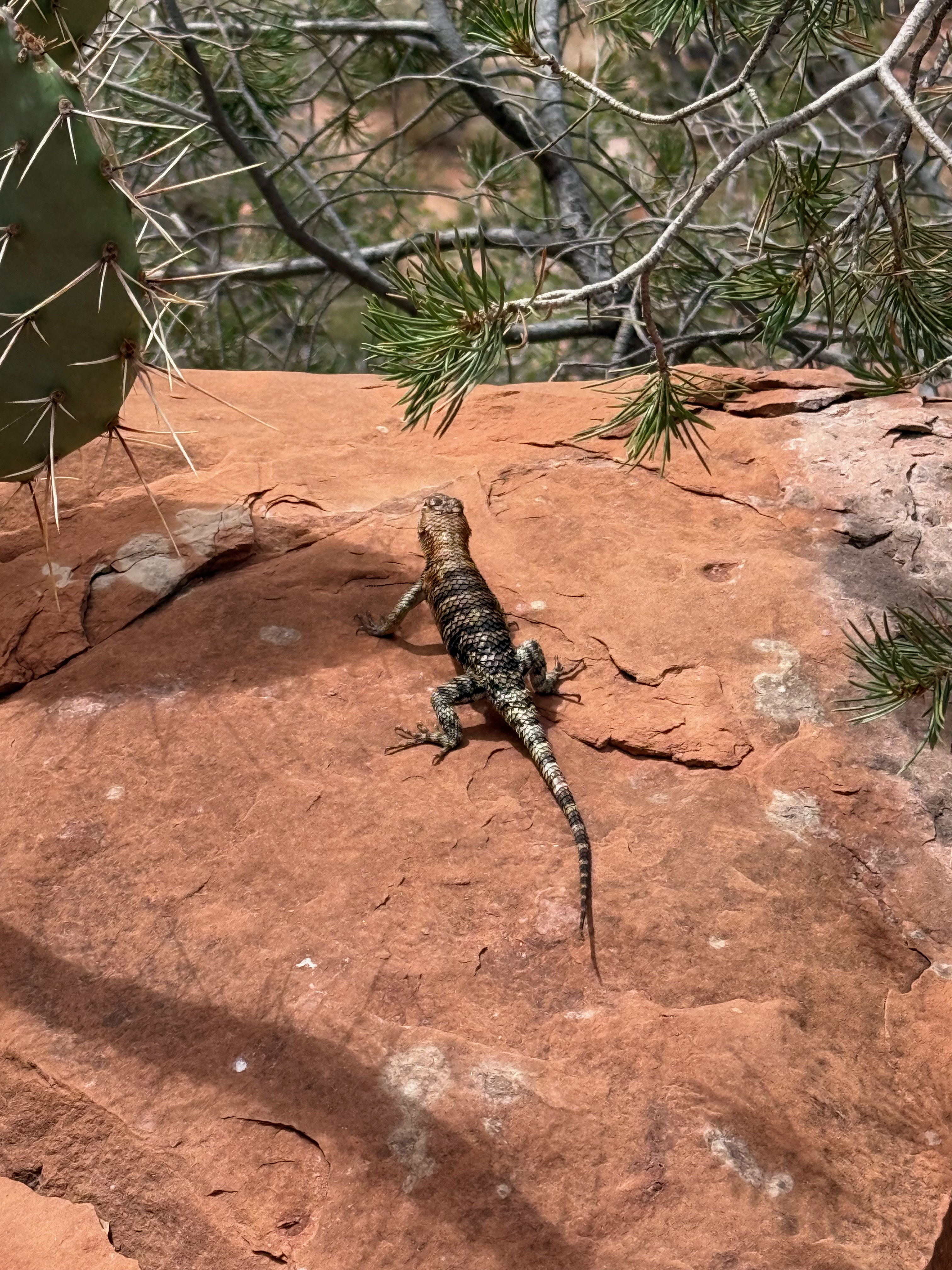
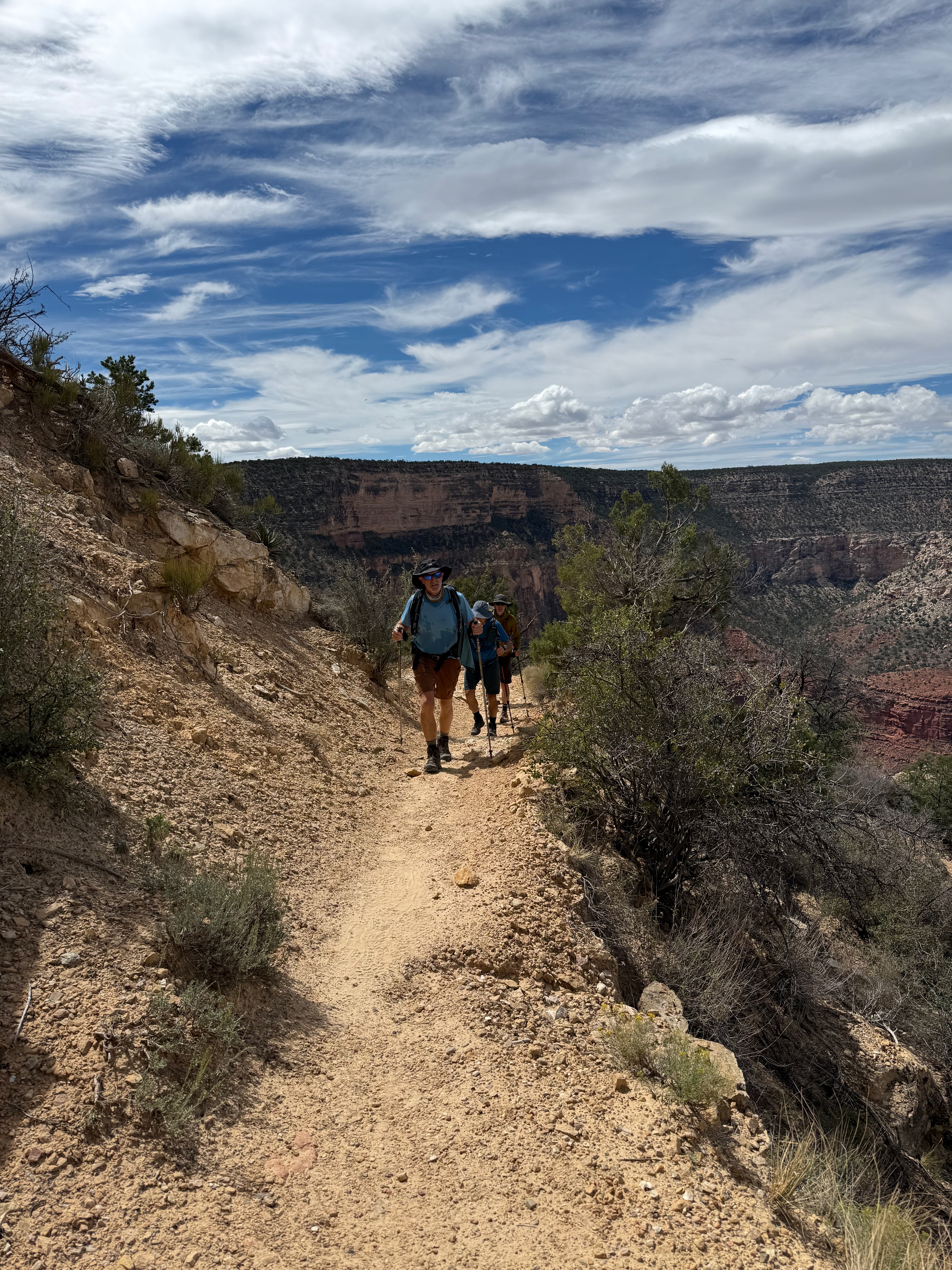
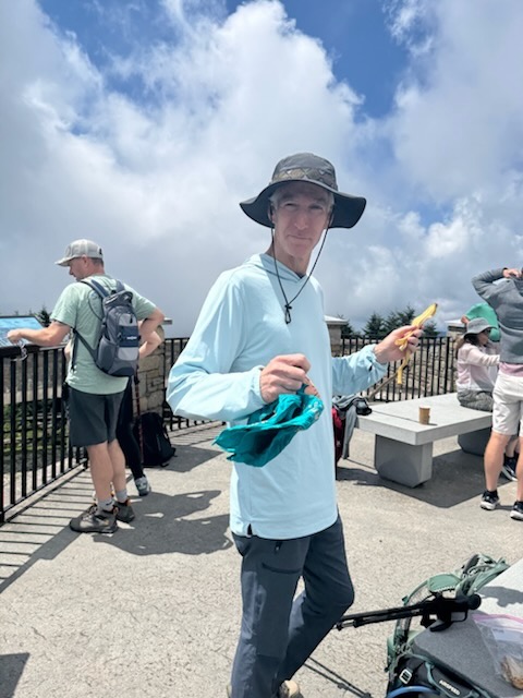
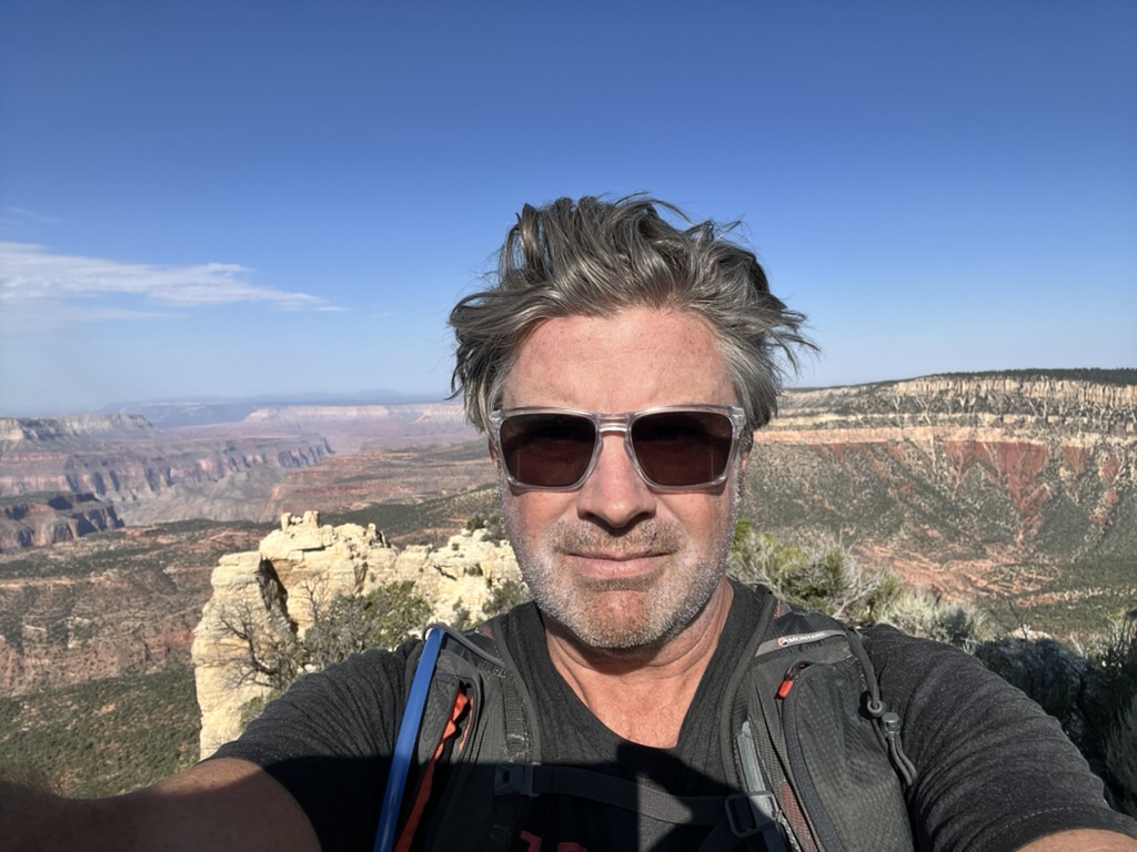
We wanted to end the trip on a big day and Wilson Mountain was our final choice after considering a few alternatives. Wilson is the highest point around Sedona and it does not let you get there cheaply – a long, steep hike, done on tired legs after four days of canyon walking. We started early and cloud kept the sun off our backs in the morning but made up for it in the afternoon.
The views from the top were amazing and worth every bit of it.
Two hours south to Sedona via the route 66 town of Williams for dinner and vintage Americana.
My first time in Sedona – fairly largish tourist town full of crystal shops and Mexican restaurants and surrounded by some stunning landscape. A nice VRBO house up in the hills on the edge of town gave us stunning sunrise and sunset views.
Devils Arch from the Dry Creek trailhead was a shorter hike, made a bit longer by a wrong turn – which, in fairness, is becoming a tradition on these trips.
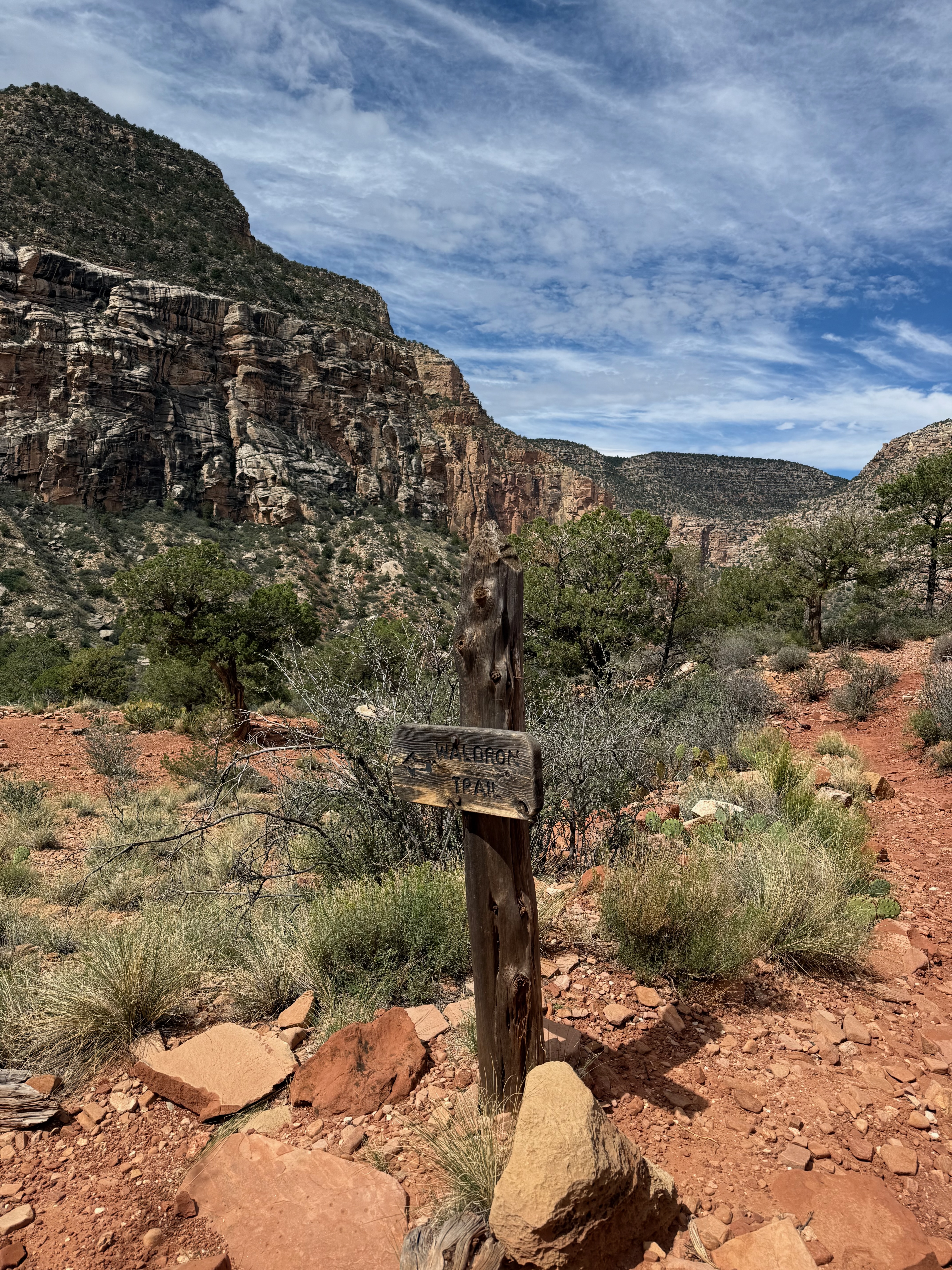
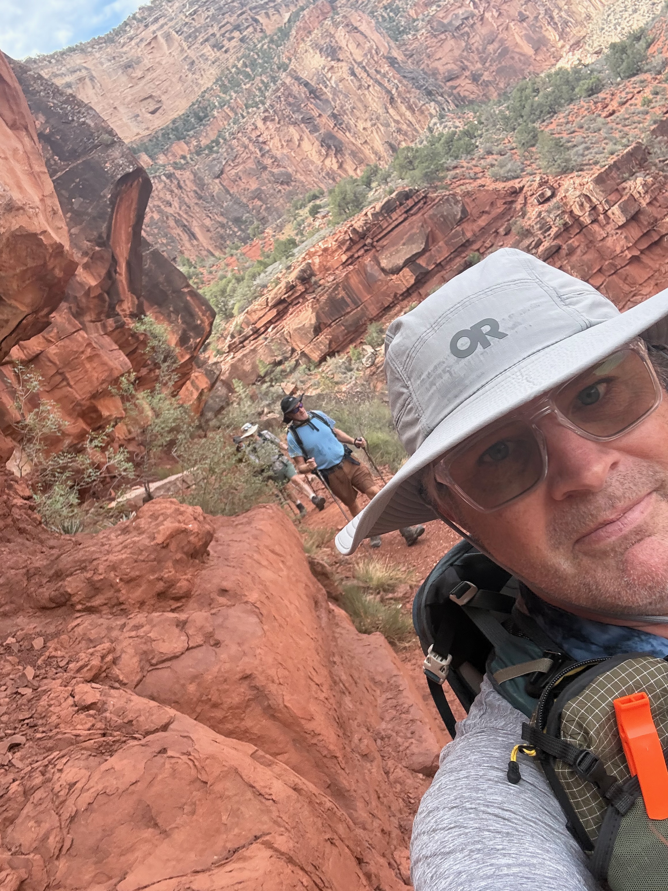
Probably the pick of the canyon days. Hermit sits west of the village and away from the corridor trails, and the difference is immediate – a far less touristed path, and an amazing landscape as you get down into the canyon. The shuttle bus takes about 20 minutes (a little quicker on the way back). The Hermit trail landscape is very different to SK and BA – even though you’re in a smaller side canyon – it feels like your much deeper down.
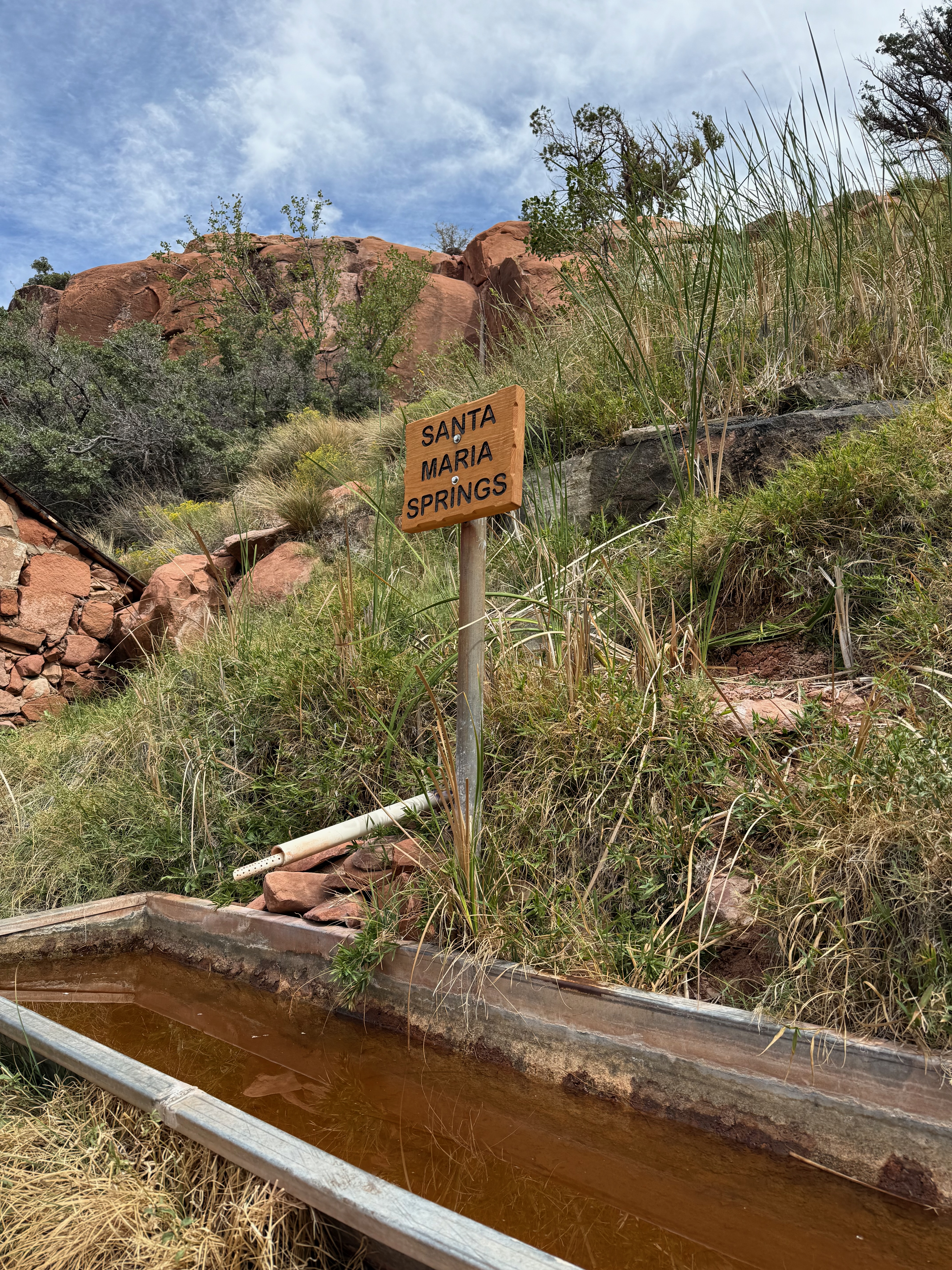
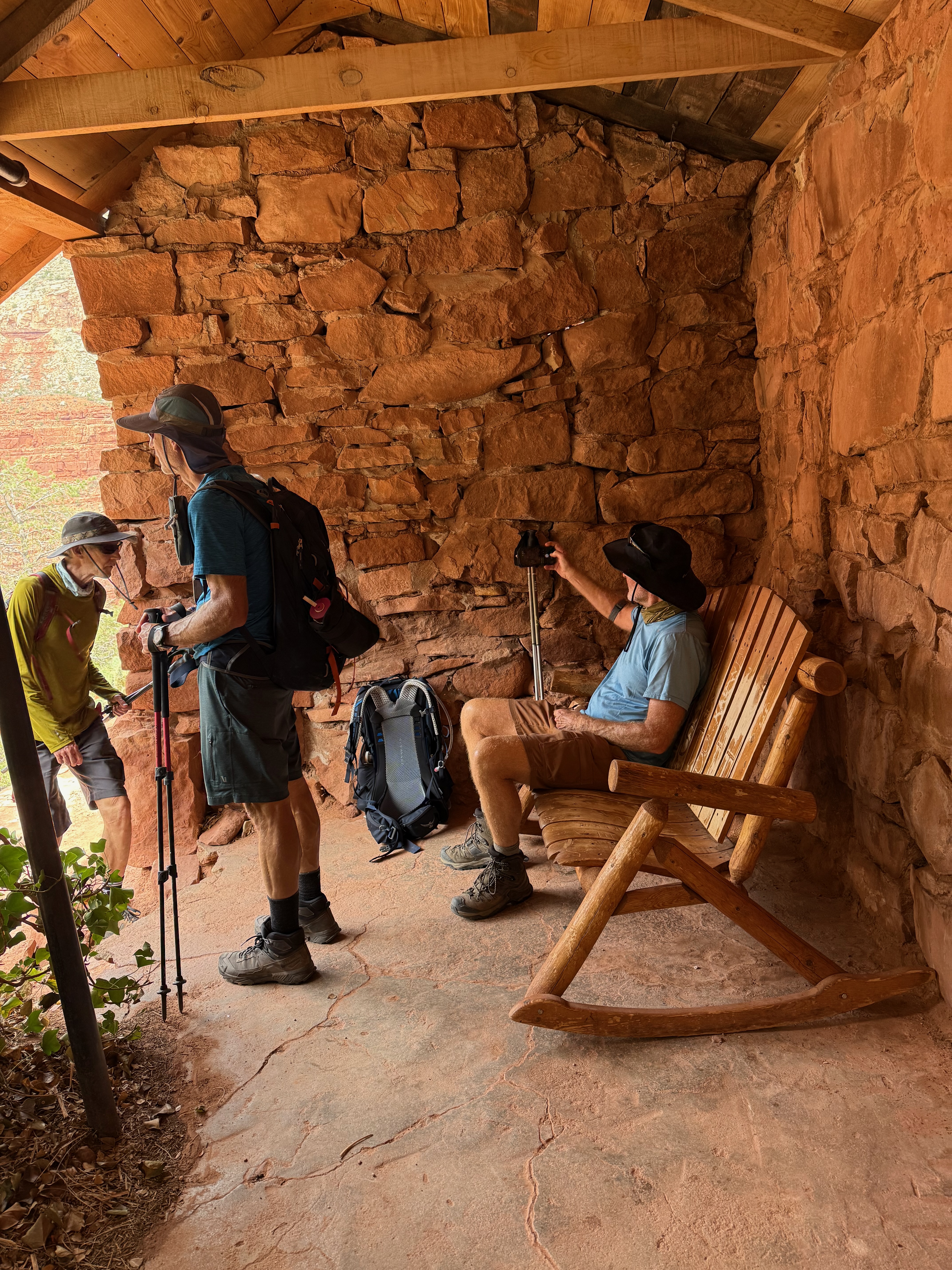
Santa Maria Springs is the turnaround, with its little stone rest house. If you’ve done South Kaibab and Bright Angel and want something quieter, this is the one.
Bright Angel is the other half of the corridor and a completely different day to South Kaibab. It works its way down through a side canyon, so you get shade at the right times and water at the rest houses – which after the day before felt like an outrageous luxury. There were warning that the water would be completely shut off at 11am but that was delayed until after we’d finished. Lucky for me – I sweat a lot and need to drink a lot – without the opportunity to refill I would’ve been in trouble. I think 5L of water is probably the minimum you need for a hike like this in the heat.
Havasupai Gardens is a little oasis – cottonwoods, running water, and a genuine change in temperature when you walk into it. This is also the day that gives you a good sense of doing the rim to rim, which was as close as we were going to get this time.
Ten of us were supposed to walk the Grand Canyon rim to rim in the first week of September – down the North Kaibab from the North Rim, two nights at Phantom Ranch, then out to the South Rim. The cabin was booked, the Trans-Canyon shuttle was booked, and we’d spent the the last few months training with regular walks at Umstead and single day ascent / descent of Mount Mitchell.
Then, on the afternoon of Saturday 30th August – five days before we flew – nearly an inch of rain fell in thirty minutes onto the Dragon Bravo burn scar above Bright Angel Canyon. The Dragon Bravo fire stripped the Kaibab Plateau back in July 2025 and a Forest Service assessment had already flagged that watershed as high risk for post-fire flooding and debris flows. It did precisely what the assessment said it would. Around 50 people were airlifted out of Phantom Ranch, 2 people killed, and one still missing. Nearly all the footbridges over Bright Angel Creek were destroyed.
Closed until further notice : Phantom Ranch, Bright Angel Campground, all fourteen miles of the North Kaibab, and the Colorado to boating.
Then the second punch. The flood took out the trans-canyon waterline – which is what supplies the South Rim – so every in-park lodge closed to overnight guests from the 31st with no reopening date. We lost the hike and our accomodation in the same week.
So : Plan B. Cancel everything, keep the flights, and rebuild the week out of the trails that were still open. What we ended up with was five days of day hikes off the South Rim and out of Sedona – not the trip we planned, but an epic trip in its own right.
Day 1 – getting there
RDU to Vegas, then the four hour drive to the South Rim. Just enough daylight left for a walk along the rim at sunset – which is still the best possible introduction to the place, however many photographs of it you’ve seen.
Days 2 to 6
Three days in the canyon, then two in Sedona, stats in the table and full routes in the Strava links in the posts:
The canyon doesn’t owe you the itinerary you booked. We had eight days’ notice and the closures were absolute. Everyone rolled with it without a single moan, which is the real reason the week worked.
Day hiking off the South Rim is underrated. Same geology, same light, and you sleep in a bed at night. A different trip to the rim to rim, but not a lesser one.
South Kaibab down, Bright Angel down, Hermit down – three trails, three completely different experiences of the same hole in the ground. Doing them on consecutive days makes the contrast obvious in a way one big traverse never would.
We probably hiked double what we expected to hike doing the R2R.
Book refundable where you can. Cancelling a cabin, two shuttles and a lodge in one afternoon is not how you want to spend a Sunday.
The rim to rim is still on the list. Phantom Ranch, the North Kaibab and those footbridges are going to take a while – maybe next year.
Finally – a huge thanks to Bryan and Iain for organizing, then re-organizing the trip and the whole gang for making the trip memorable.
First real day of hiking with Kip, Iain and David. Even if we couldn’t get down to the river, we wanted to hit the major corridor trails on the South Rim – starting with South Kaibab. South Kaibab shows you the canyon all at once. There’s no easing in – no switchbacks up a side canyon, no gradual reveal – you drop straight onto a ridge line and the whole thing is just there, on both sides of you, the entire way down.
Skeleton Point is the turnaround and it’s the first place you properly see the Colorado – we walked a little further down to find some shade for lunch and were treated to views down to the river below, and condors or hawks flying above.
This was our biggest training hike in preparation for the Grand Canyon R2R.
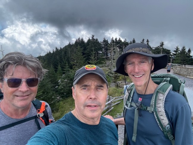
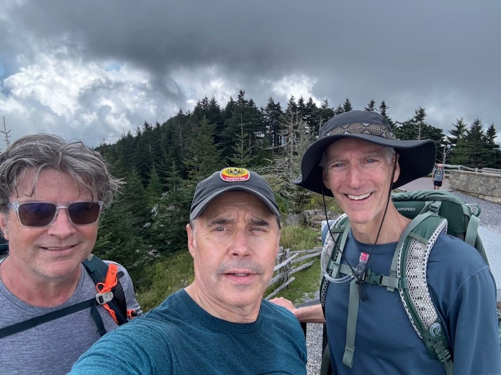
Mt Mitchell is the highest point east of the Mississippi River and the closest thing we have to a real mountain in NC . It rises to 6,684 feet, so gave us some good elevation as well.
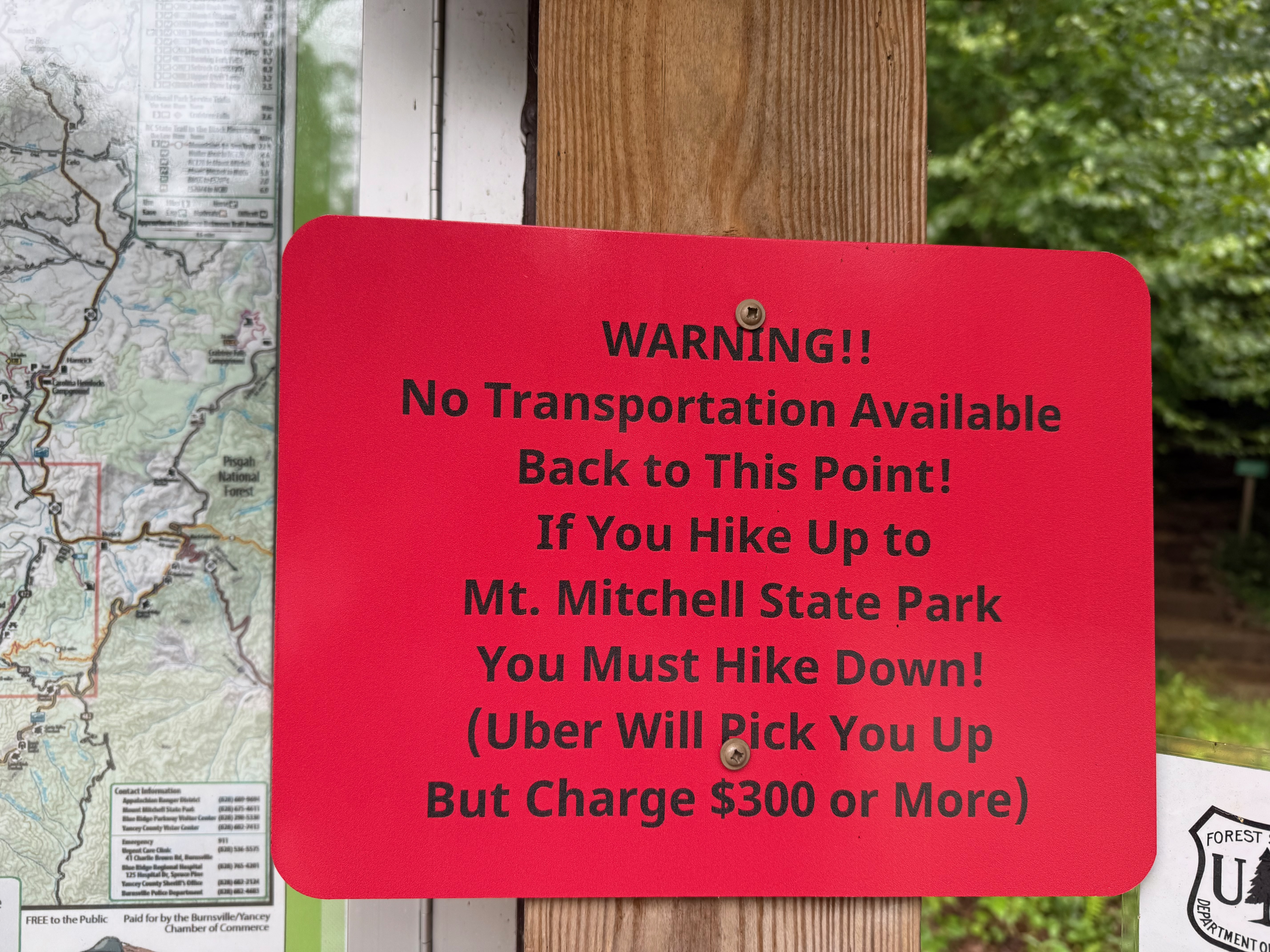
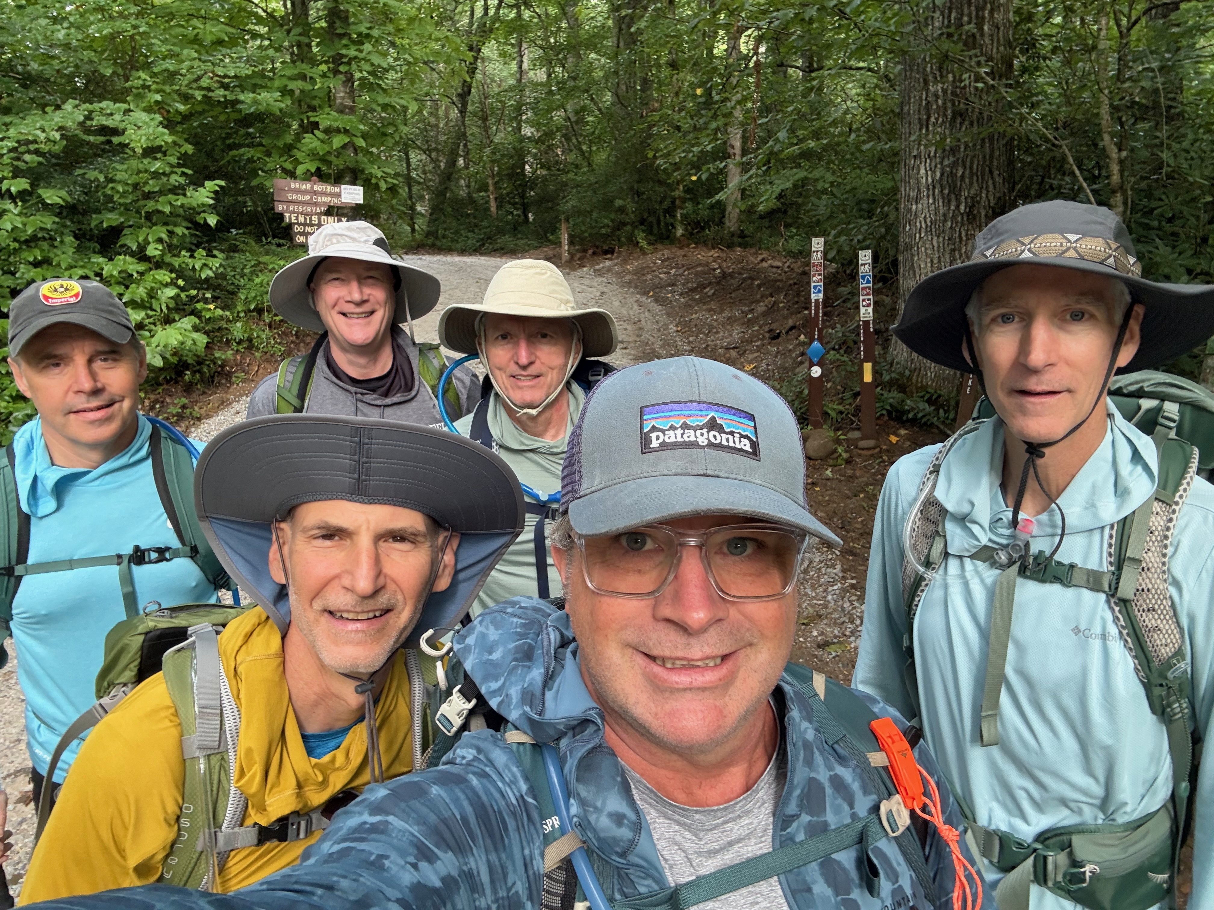
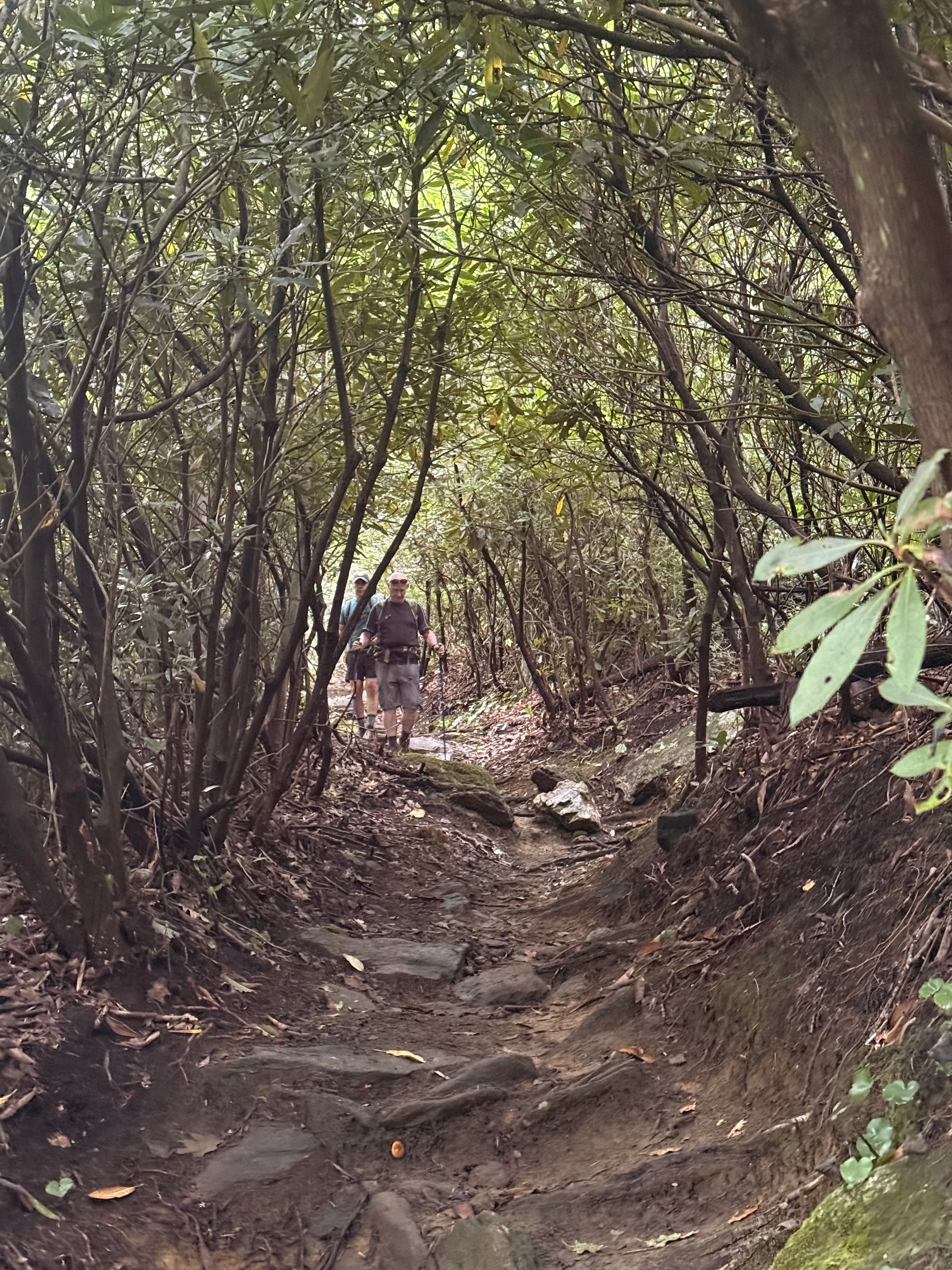
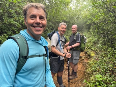
We started at the Black Mountain Campground off of South Toe River Road which makes it a 3,694 ft climb and a 11.8 mile round trip. Weather was hot and humid – underfoot was rocky, rooty and a little slippy in places. It’s a very decent slog and I can’t believe this is the first time I’ve hiked our biggest local mountain. Views from the top were awesome – coudl see all the way to Beech and Sugar.
The trail on AllTrails is here, and my Strava activity is here.
As it turned out, the rim to rim didn’t happen – a flash flood closed Phantom Ranch and the North Kaibab a few days before we flew. What we did instead is here.
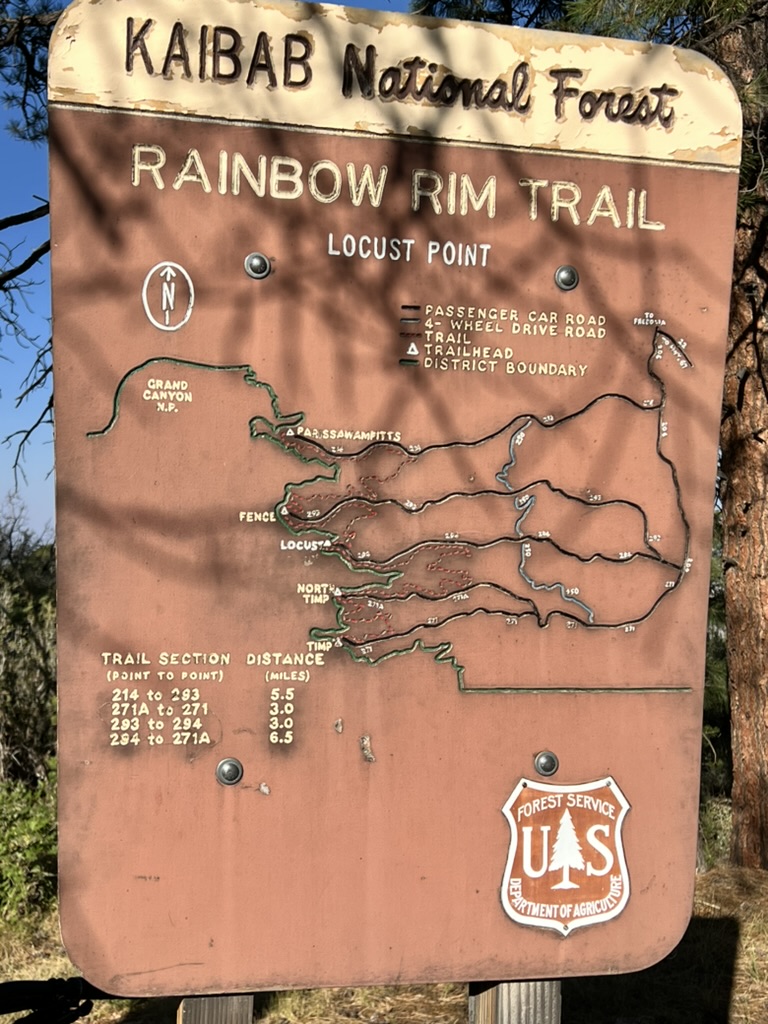
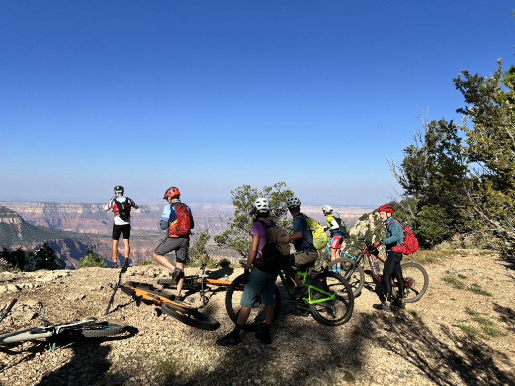
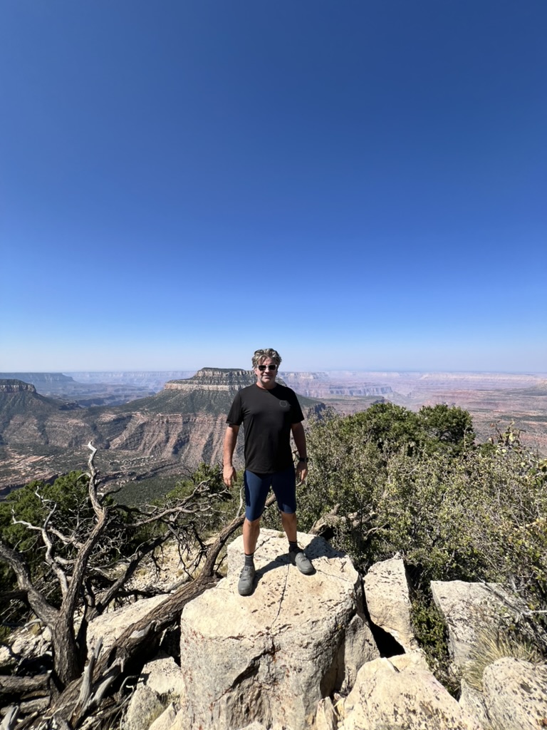
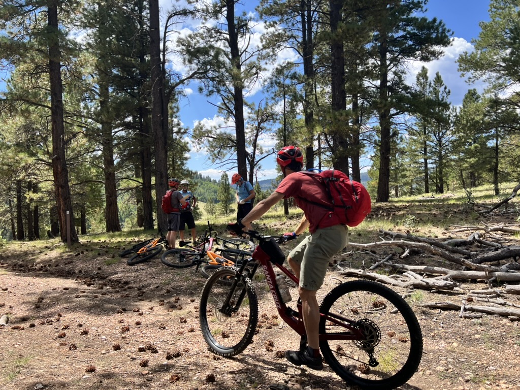
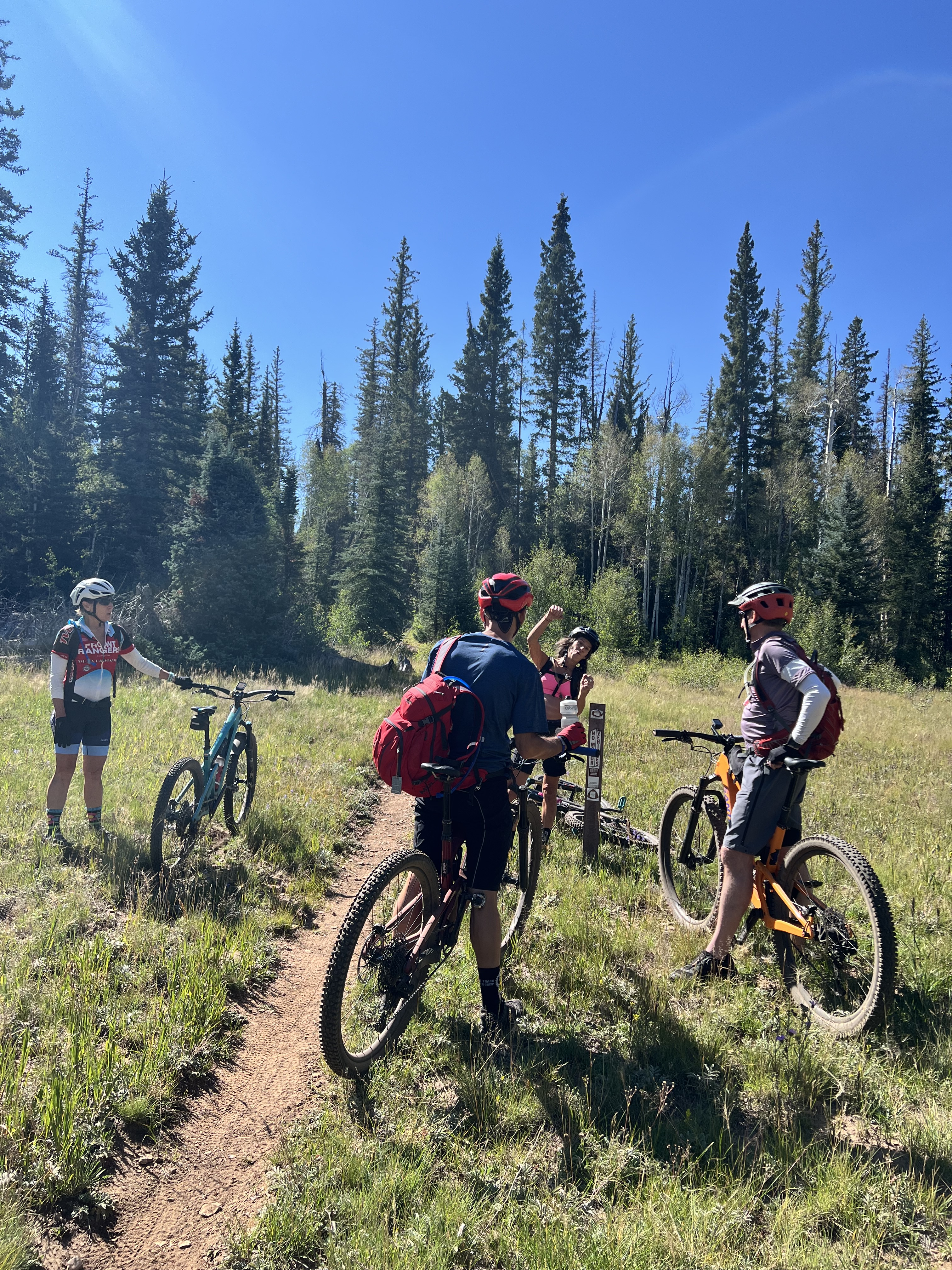
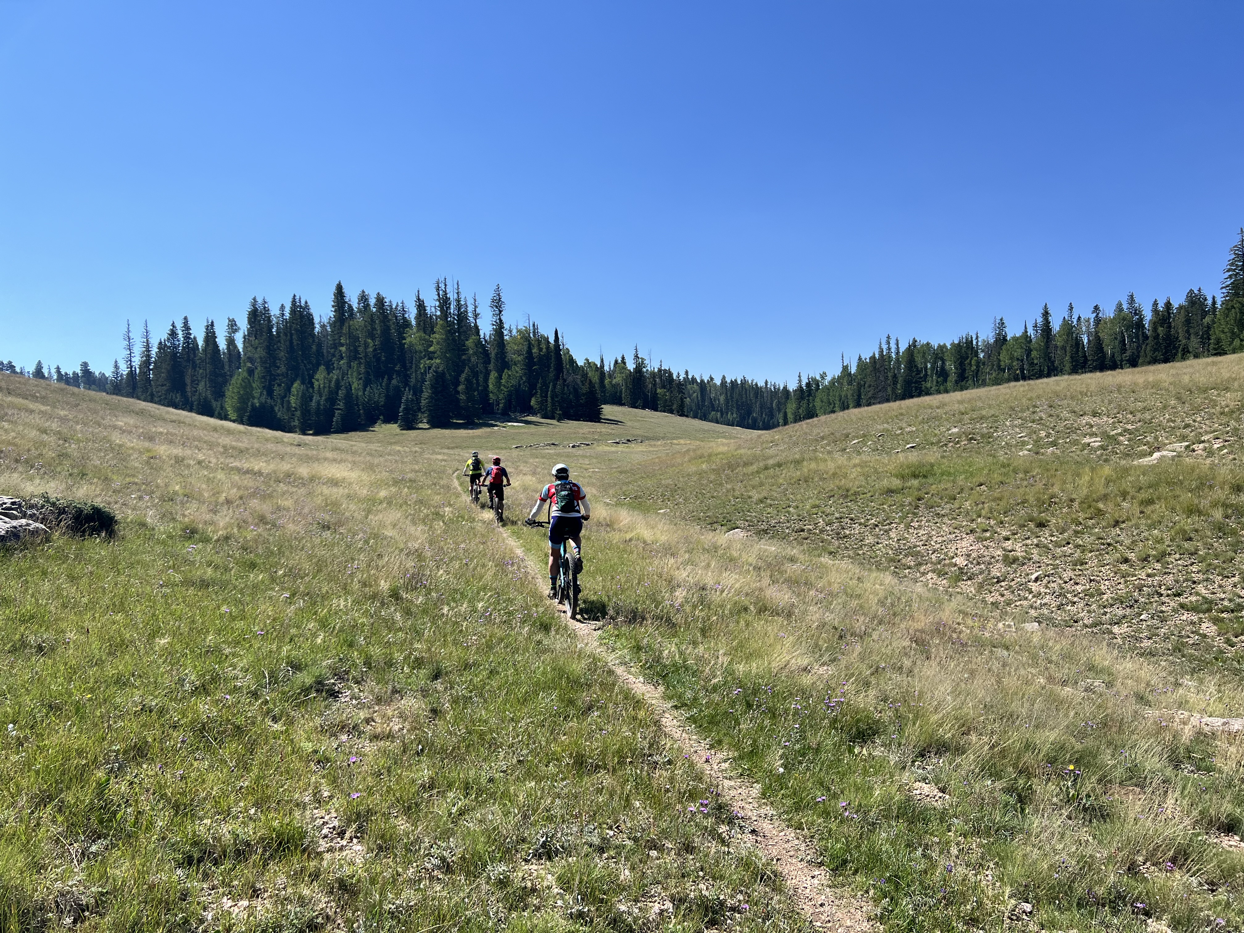
The next two days we rode the Rainbow Rim Trail which 18 miles of trail and a mix of forest single track and cliff side trail with stunning views. There’s quite a lot of up and down which if you’re not used to the elevation makes it feel harder than it is – but it’s all easily rideable with good lungs and legs.
Friday’s ride was 20 mile loop from our camp at Locust Point, south to Timp Point on the rainbow rim trail and returning on Forest trails. There are plenty of places to stop for a breather and take in the awesome views. Strava Activity
Post dinner entertainments was provided by the sunset, campfire, and some evening star-gazing.
Day 7 – Rainbow Rim north to Parissawampitts Point
On Saturday we packed up our gear, had breakfast and the rode the northern section of the rainbow rim trail to Parissawampitts Point and then back via the same route. There was a bit more climbing and for some reason I found this the hardest day. Strava Activity
Back at the (now decamped) camp – we scarfed down some lunch, racked the bikes and started the journey back to civilization. Iain, Bryan and I all had red-eye flights that night and were hoping to get back to Salt Lake City with enough time to get dinner and a much needed shower in the Centurion Lounge at the airport.
All in all – this was a pretty awesome trip – we jammed a lot into our 3 acclimation days and the North Rim didn’t disappoint – great riding and incredible views. If you are interested in this kind of multi-day bike trip – I’d highly recommend RimTours – this is my 4th trip with them and I suspect I have more in the future.
After another good breakfast at Cafe Feellove in St George, we headed over to the Red Lion Hotel to meet our fellow riders, and our RimTours guides – Beth, Birdie, and Lauren. After meeting the crew we loaded our gear onto the trailer and headed to our start point 2 hours away on the Kaibab Plateau.
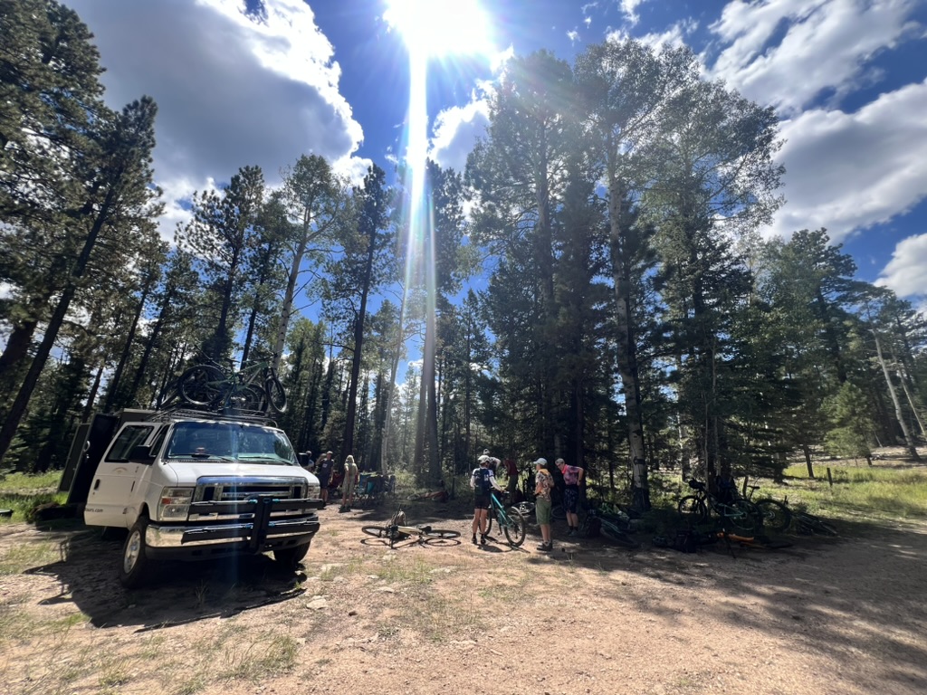
We stopped briefly at the Jacob Lake Visitor Center to pick up three more riders and drop our rental car. then another short drive to pick up the Arizona trail once we got our bikes setup.
The first day was pretty light (just 14 miles) but had a couple of short technical climbs. All the riding was between 8500ft and 8800ft and this was my first exposure to strenuous exercise at a decent elevation. Our guides warned us to take it easy on the first climb – I really had no choice – it felt like I was breathing through a mask ! After a quick lunch stop and more bike adjustments, on to our campsite for the night at the East Rim Overlook. Note – campsites here are basic – usually just a sign telling you where you can and can’t camp. No pit toilets, no water, no shelter, no network. You have to bring everything you need with you – or in our case pay RimTours to do it !
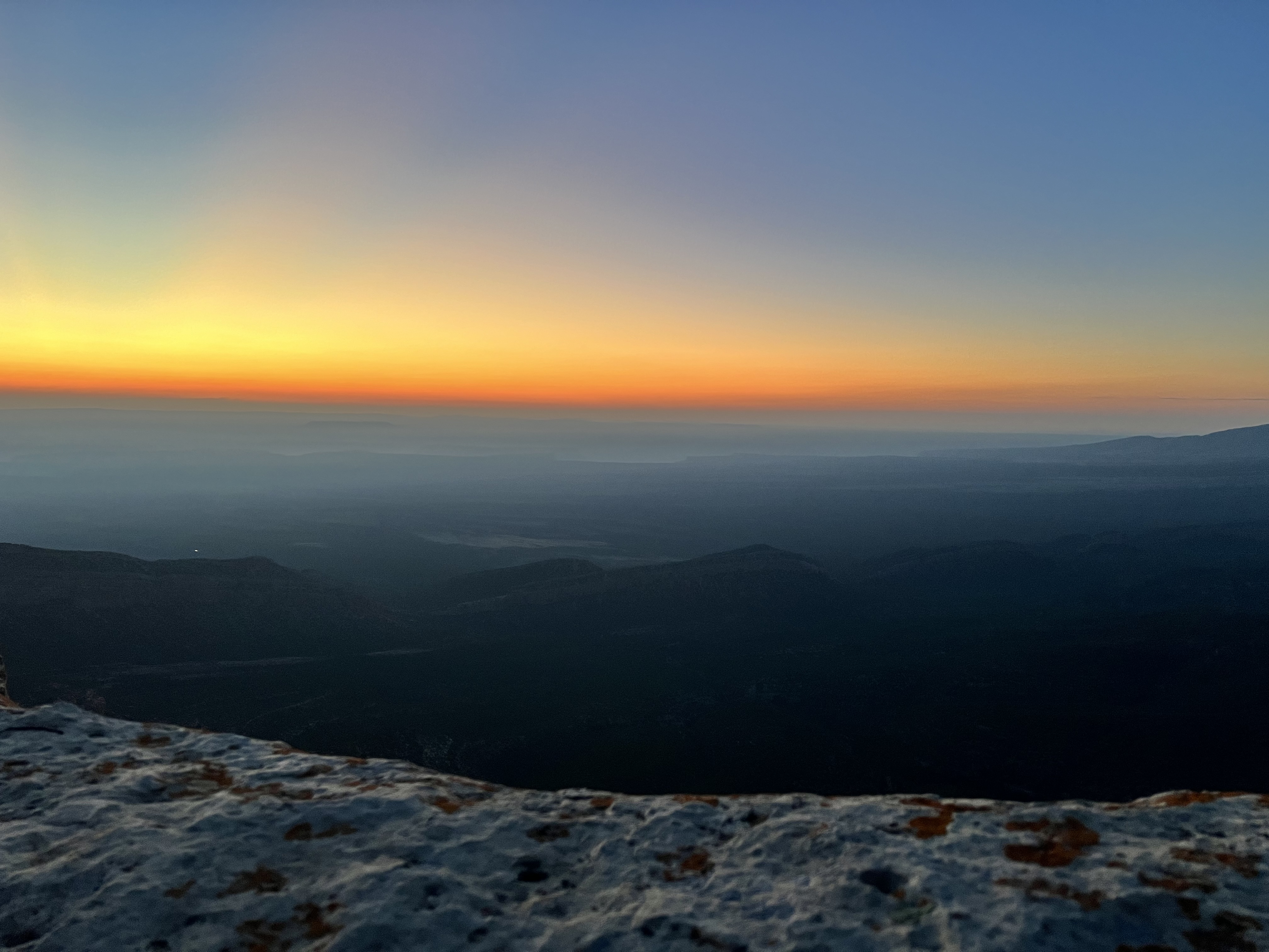
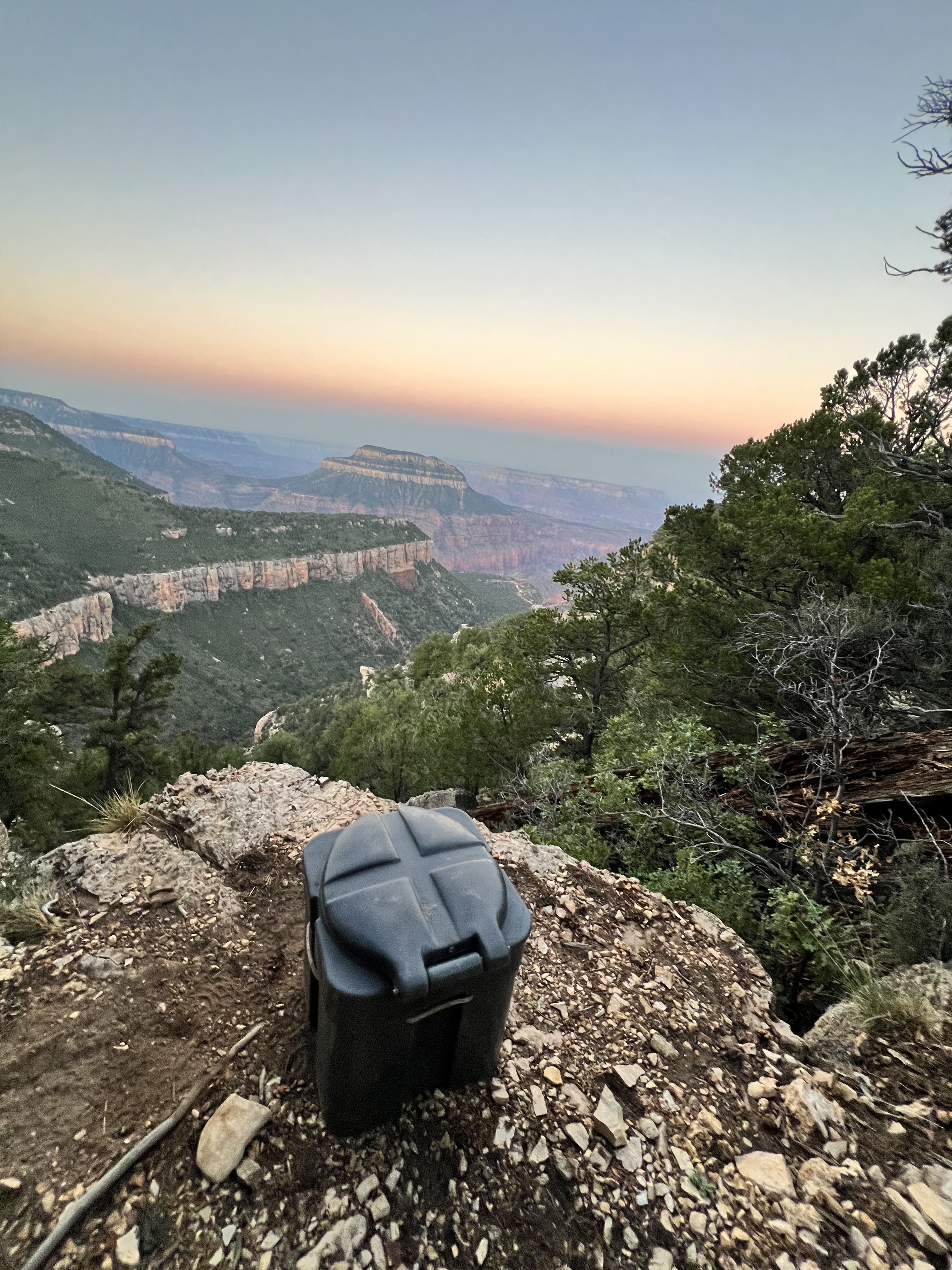
Still on East Coast time, I was up early enough for the sunrise yoga / stretching overlooking the Colorado river. The 4th picture below is the site of our “Groover” which seems to find the most scenic viewing spots one these trips. After breakfast and decamping – we jumped back on the Arizona Trail. We had a much longer ride (32 miles) – some single track, some high-prairie, and some forest service roads. We peaked around 9000ft but ended the day at Locust Point campsite around 7600ft. Fortunately for my lungs – not much climbing but it was a long day of riding and once we had setup camp and eaten another awesome dinner prepared by our guides – it was time to grab a beer and watch the sunsetting.
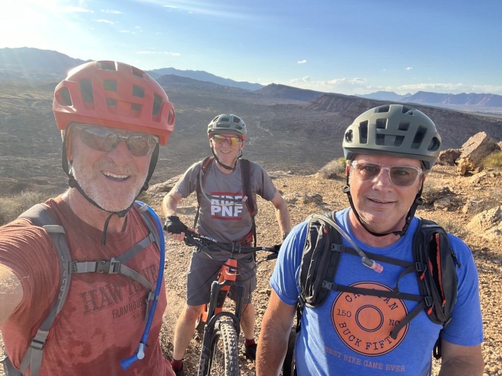
This year’s south west mountain bike trip started with a few days acclimating to the heat and altitude in St George, Utah. We picked up rental bikes pretty much as soon as we got into town after the 2 hour drive from Vegas. We rented the bikes and a 4 bike rack from Red Rock Bikes in nearby Hurricane – great shop with friendly staff who helped us get everything set up. We had a longer ride planned for the next day but after a day of travel were keen to get out and ride despite the 100F+ temperatures. After a bit of driving around we found the trail head parking for the Zen Trail – a fairly short, climby, technical trail just outside St George. The trail isn’t well marked and the whole area is covered in trails and not surprisingly we went off course a little and after all the climbing I managed to split my tire and couldn’t fix it on the trail so had to waste the wonderful downhill section. Strava activity.
Day 2 – Wire Mesa
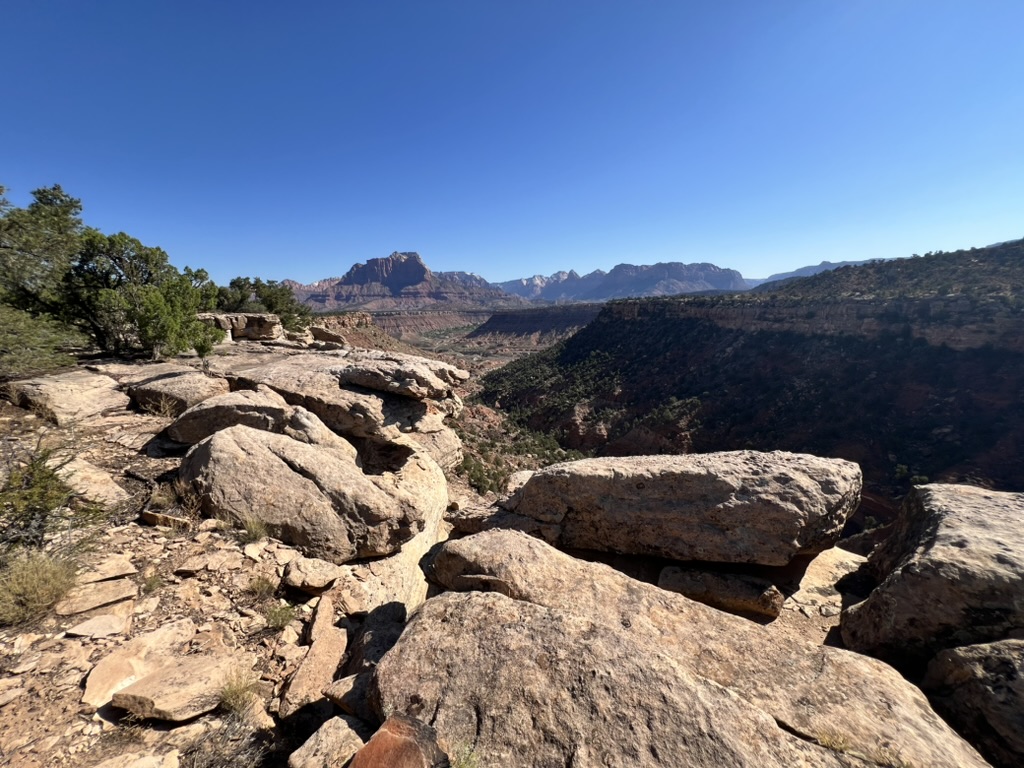
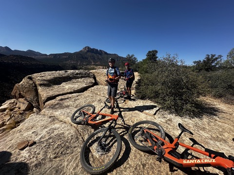
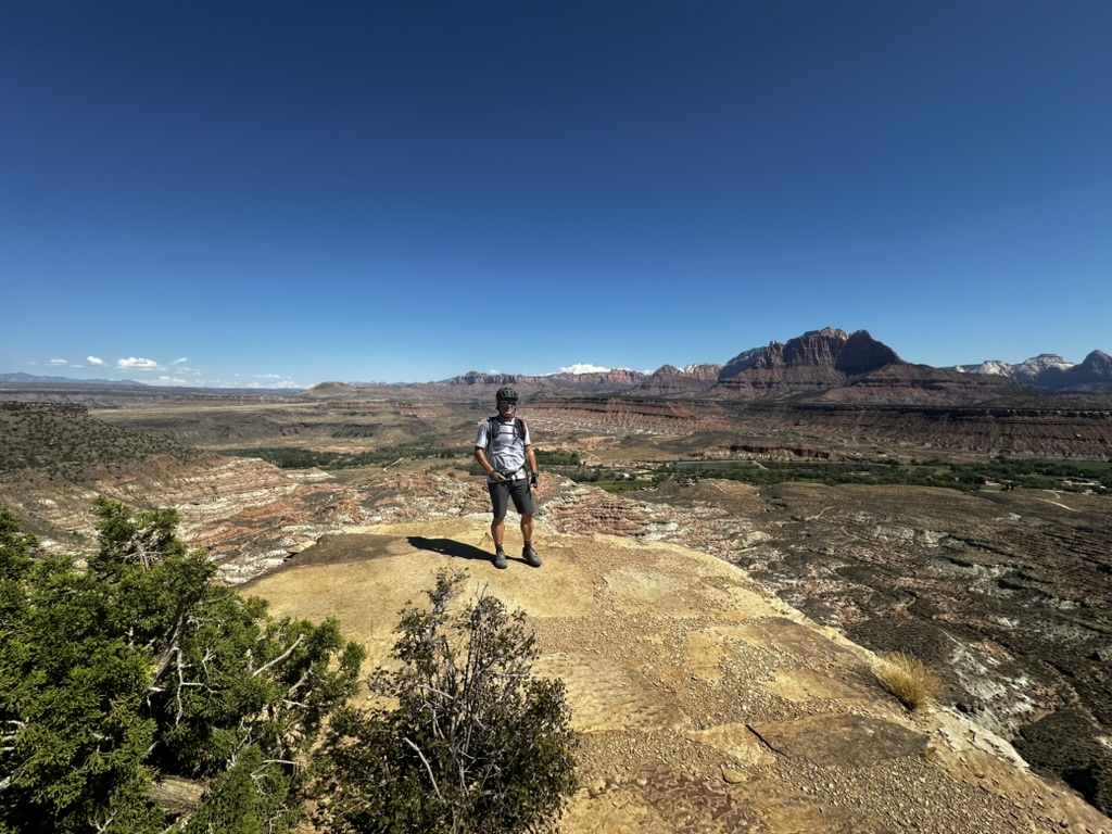
On Monday (Memorial day) we met up with David and headed to Wire Mesa – it’s a smaller, less exposed version of the better know Gooseberry Mesa and in the same general area. Getting to the parking lot is a bit of an adventure but well worth it – I could ride this kind of trail every day of the week – technical enough that you have to pay attention and choose your line, but completely rideable. The views of Zion and surrounding area were stunning – photos just don’t do it justice. We dropped the bikes back to Red Rock in Hurricane and hit River Rock Roasters for lunch. Strava Activity
Day 3 – The Narrows, Zion
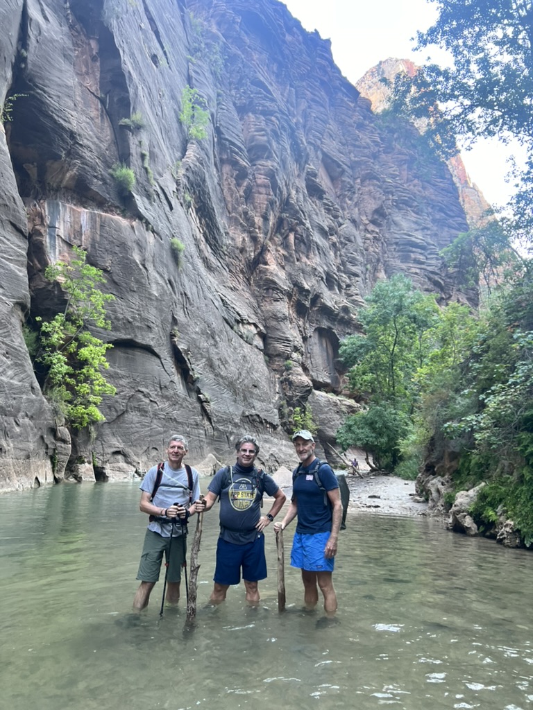
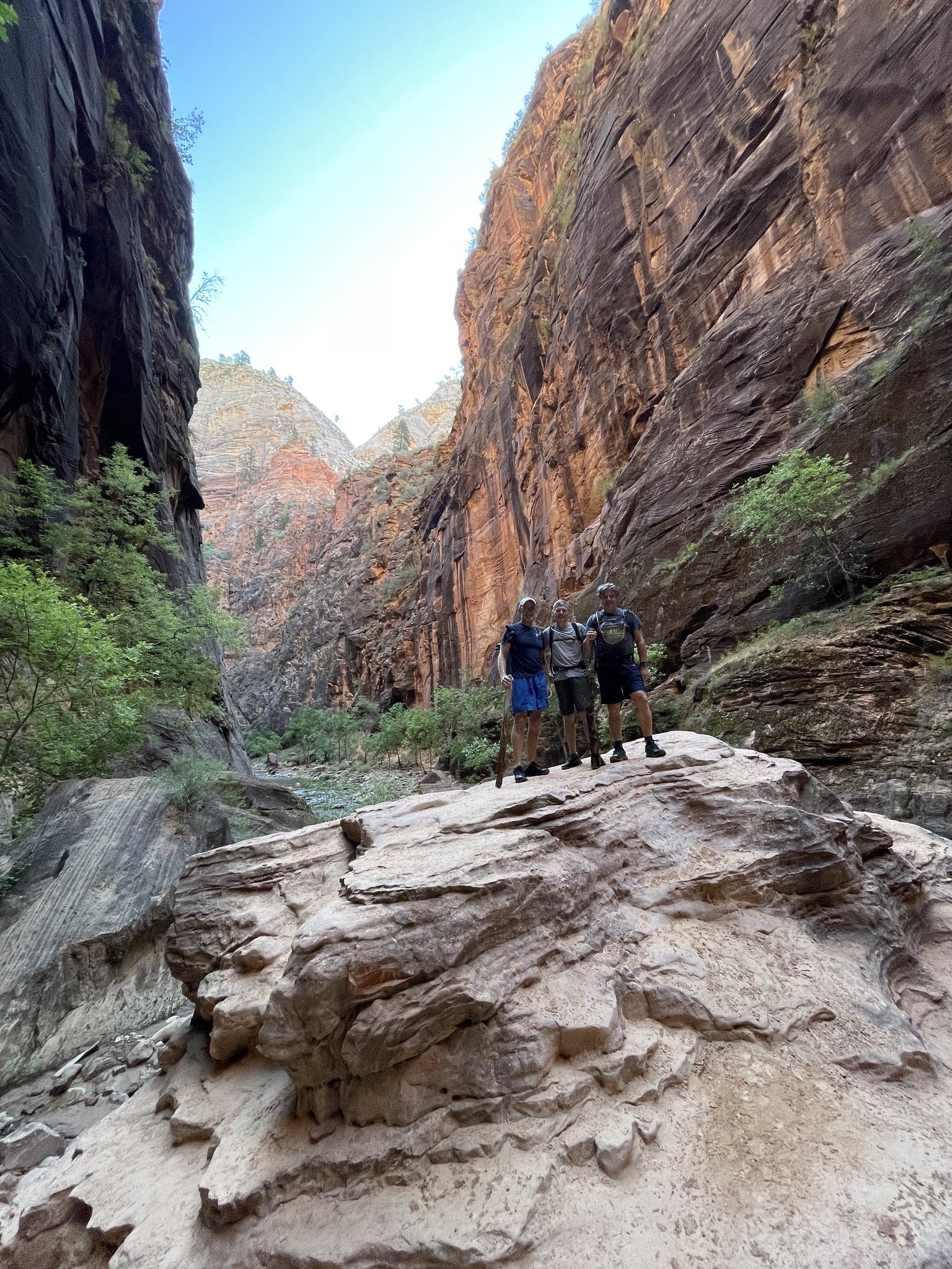
It was a toss up between hiking Angels Landing and The Narrows and The Narrows won. We got to the already fairly full main parking lot about 7am and jumped on the 45 minute shuttle to the start of the river trail (Temple of Sinawava). We’d already unwittingly made our first mistake in our rush to get on the shuttle – we didn’t rent hiking staffs – only Iain had hiking poles, Brian and I had to make do with whatever improvised walking poles we could find on the river bank. Unless you’re an aquatic mountain goat – I wouldn’t recommend hiking the narrows without a staff or hiking poles.
We didn’t quite get to “Big Springs” (the end of the trail) due to high water and strong currents – we’d already swam / waded chest deep in some sections and it was becoming cold and tiring. We did explore the smaller “Orderville Canyon” on the way up – a beautiful side canyon with fewer people and no wading. In all we hiked just over 12 miles in 5.5 hours. For hike that is pretty much flat – it was pretty strenuous and difficult underfoot – I’m still surprised my weak ankles and knees held out.
Note – you can see the sections where we had to swim on Strava as it sent the Altimeter on my Apple Watch haywire.