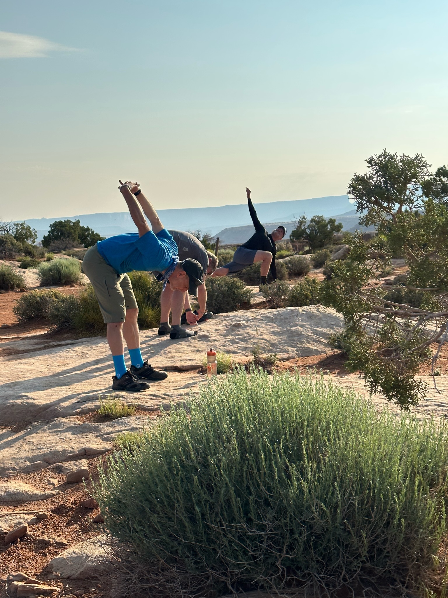
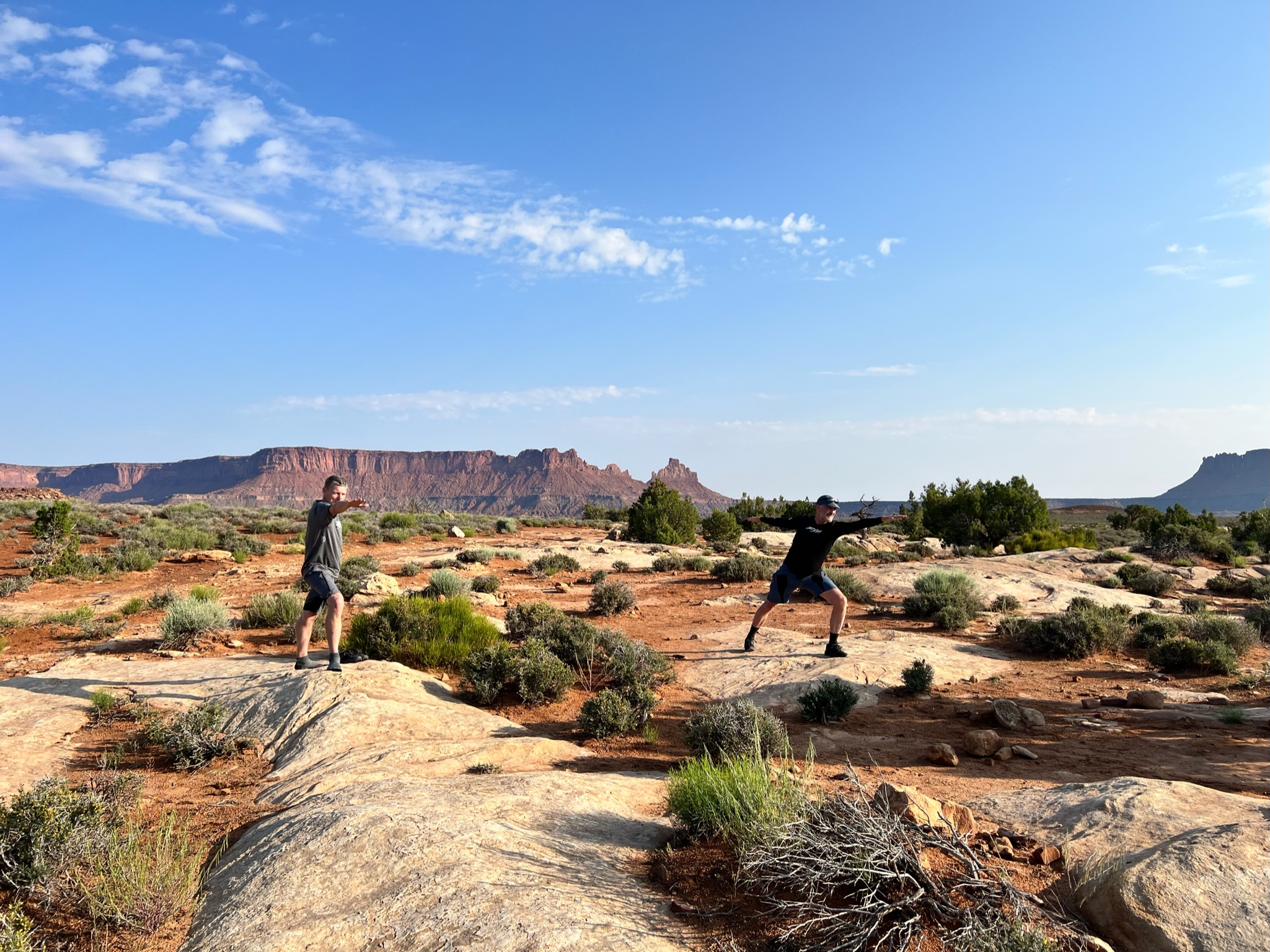
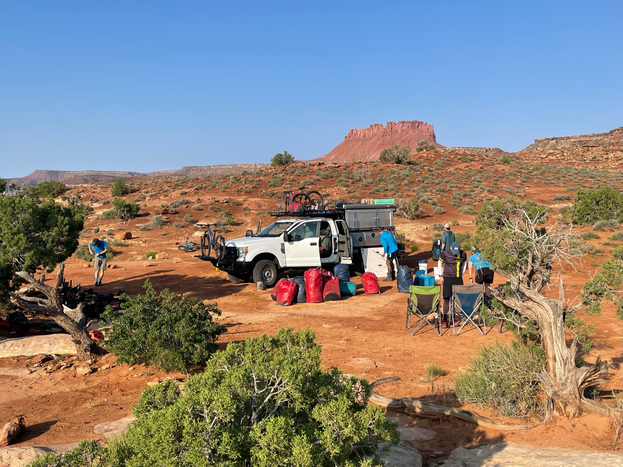
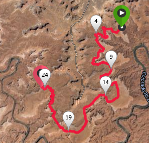
Final day and a long ride out of the Canyonlands to Hite at the north end of where Lake Powell used to be before it dried up and shrunk. We packed up camp – enjoyed the final views from our amazing campground, breakfast, and some stretching, then loaded the support truck to head out on our long but mostly downhill ride.
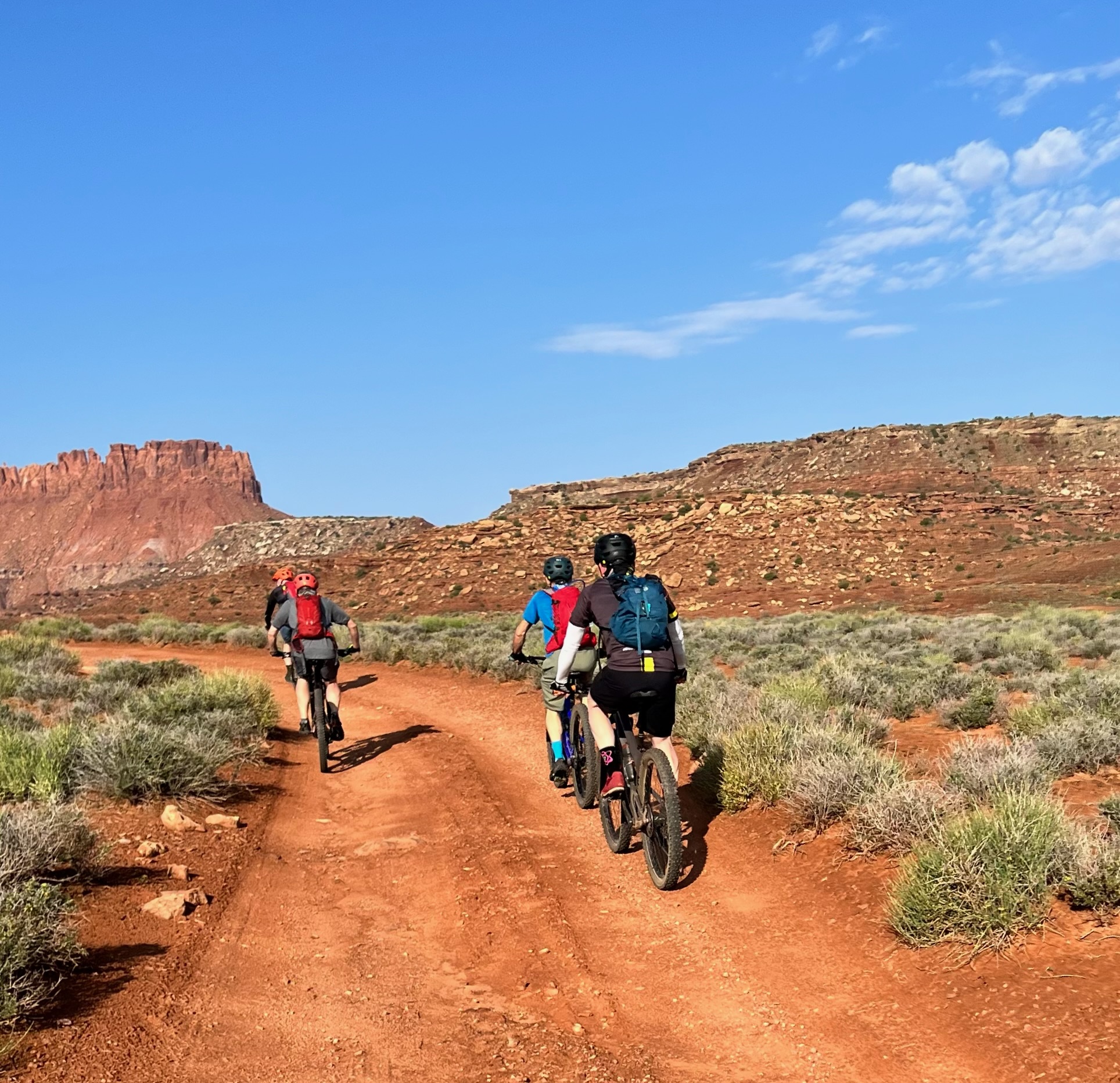
The riding was pretty easy, though on tired legs, even a small climb turns into a real effort, and there were plenty of climbs as we passed through washes and over rolling hills. The views were as spectacular as we’d seen over the last 5 days, with some broad vistas of the Henry Mountains to the North West.
We made a few quick stops to regroup and take in the views but mostly hammered toward our goal. The goal was Stan’s Burger Shak in Hankersville which serve the best / only milkshakes for a hundred miles – good to be back to cold and creamy civilization.
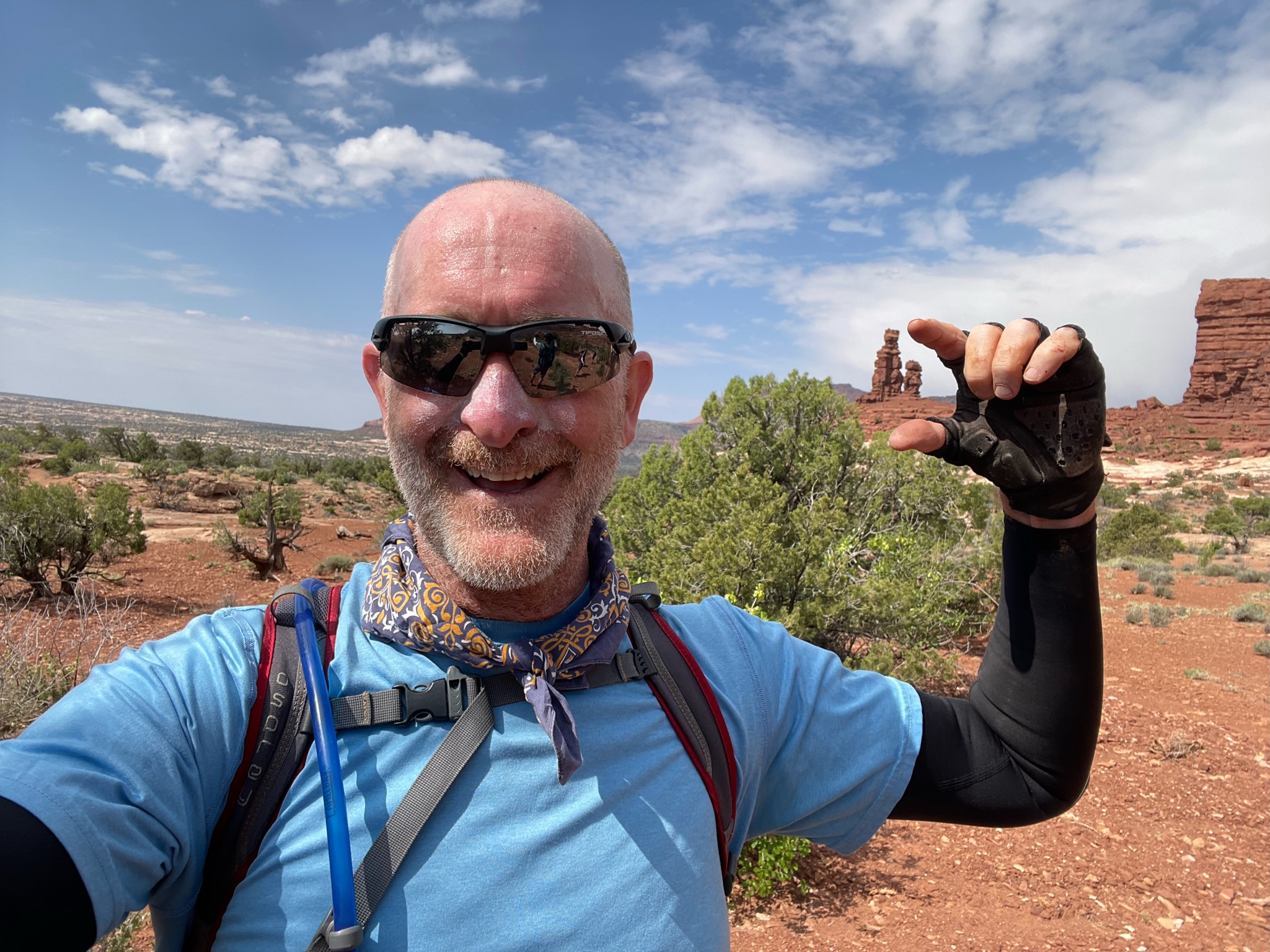
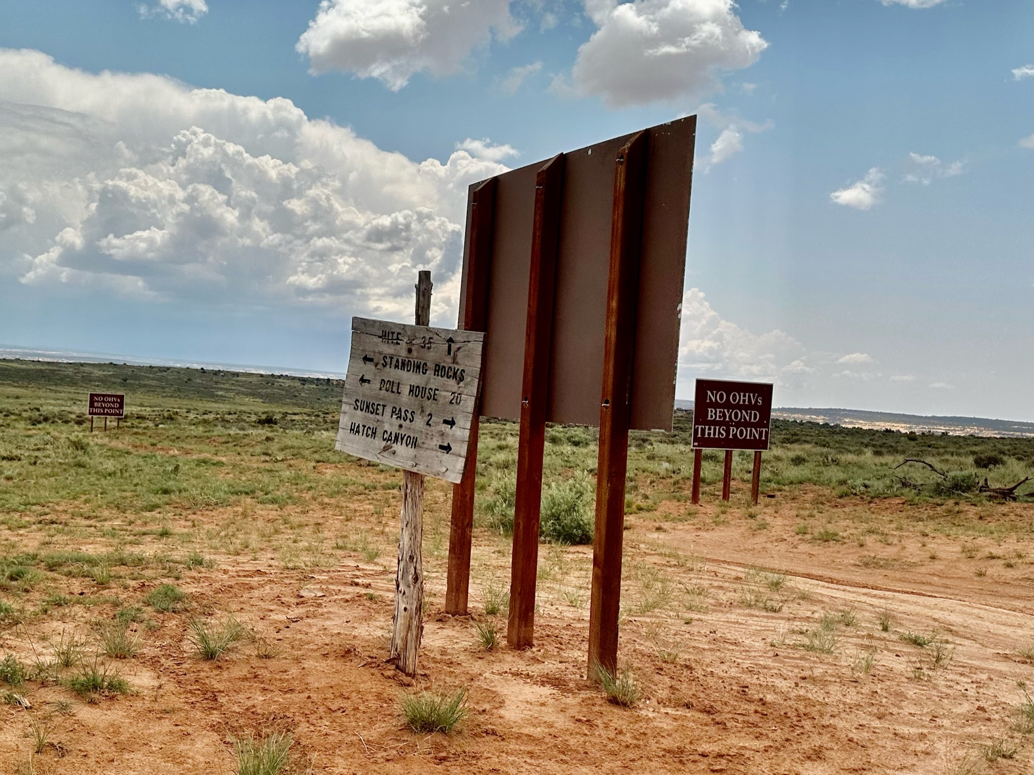
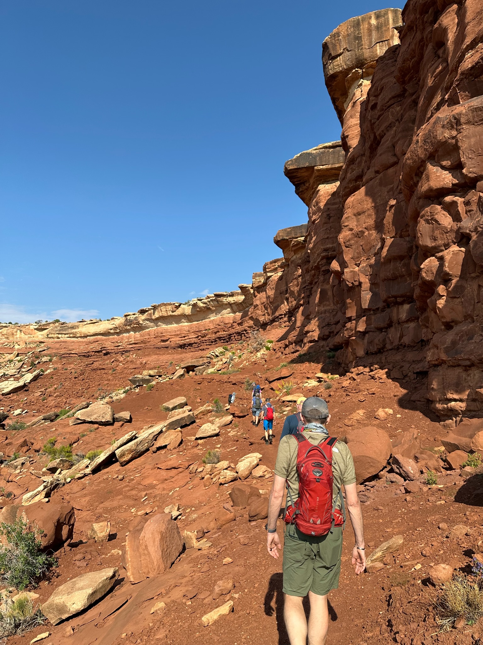
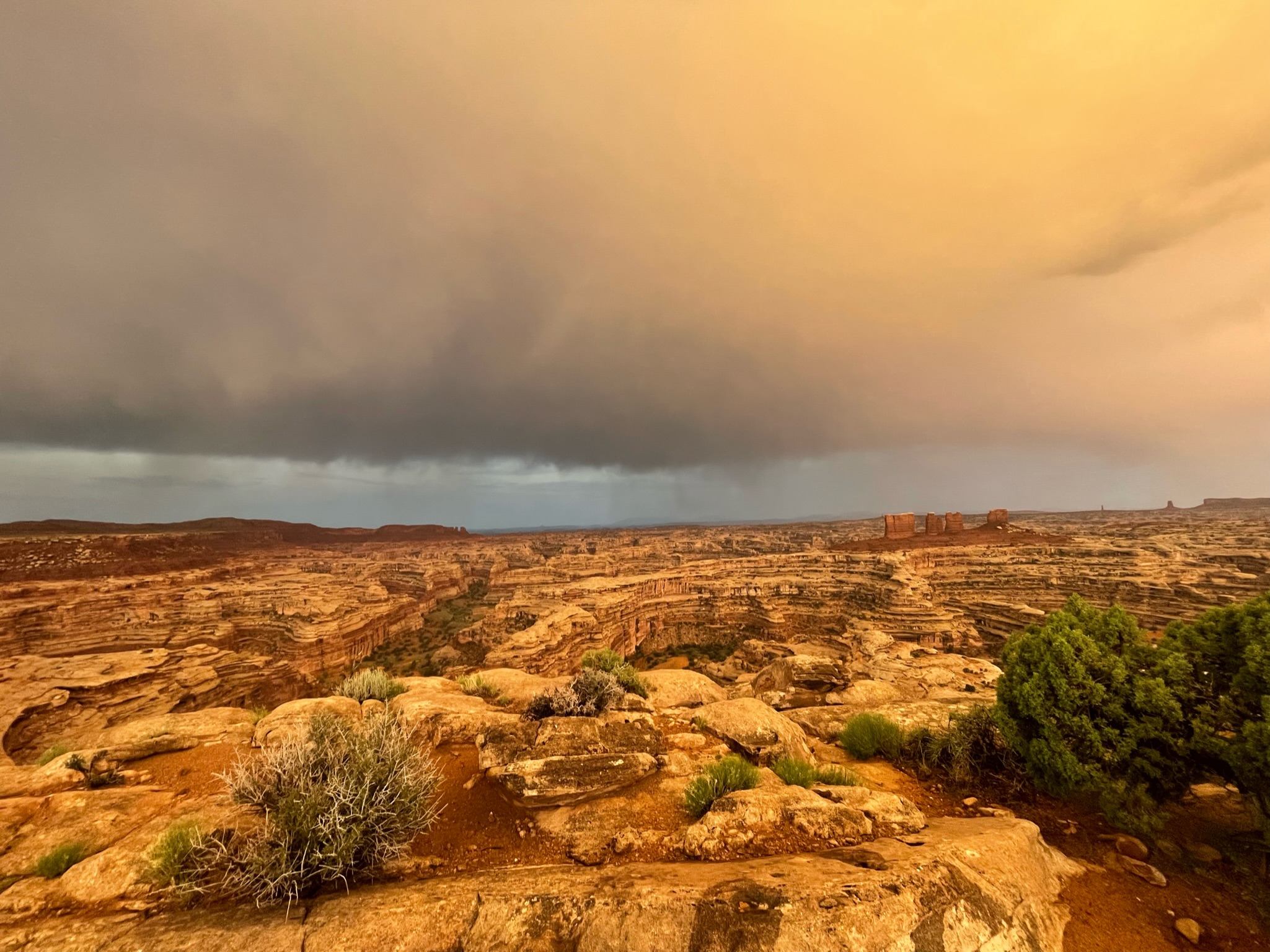
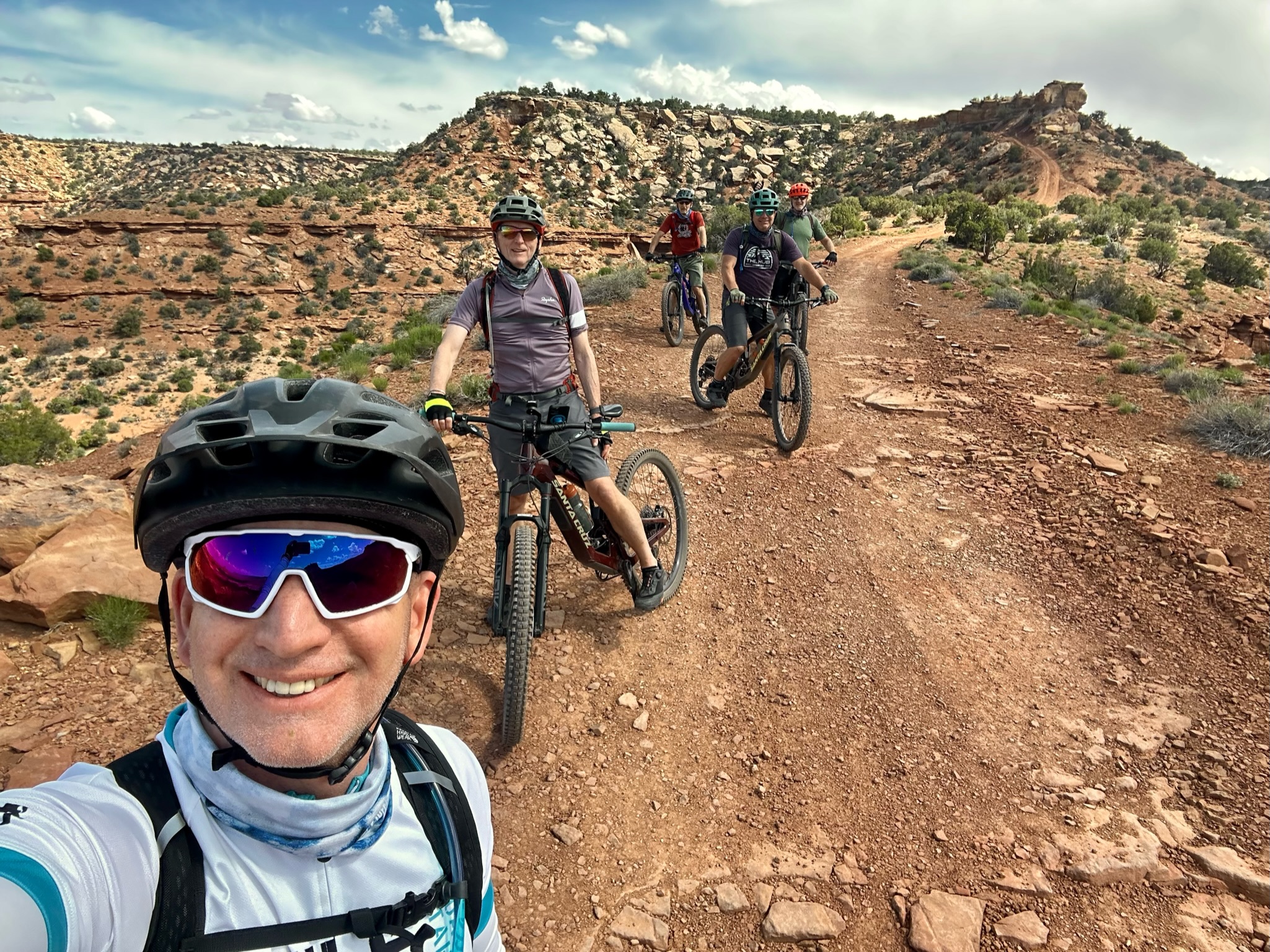
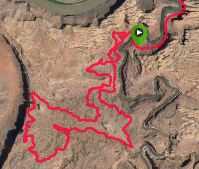
Another early start for a long day of riding. Heading back into The Maze and the Land of the Standing Rocks – some cool rock formations we could see in the distance from Camp on the first night.
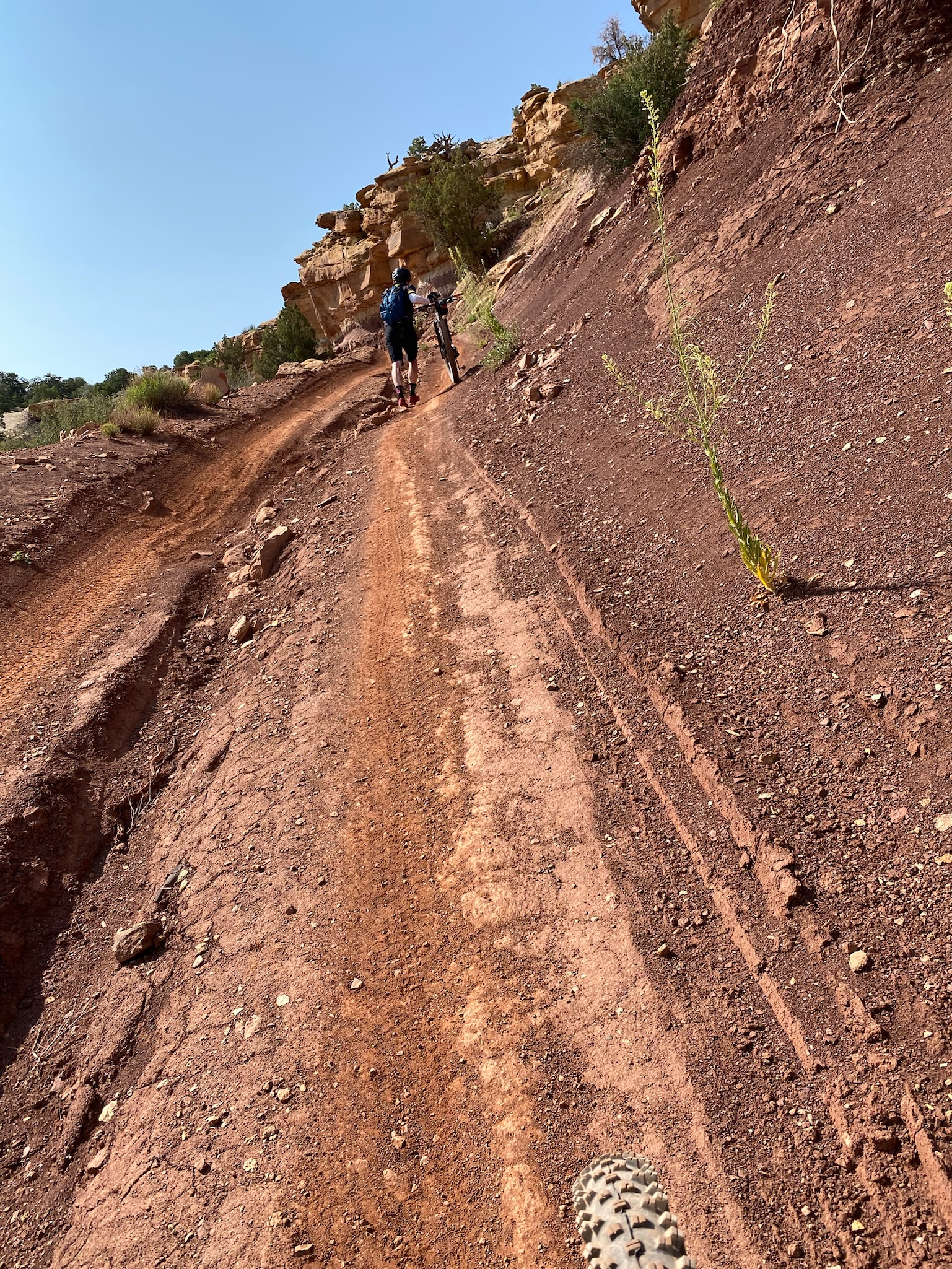
Our guides had warned us about the out-and-back ride today – strenuous and very technical for the first 2-3 miles – with chunky rock gardens, punchy climbs, and numerous rock steps. I really like technical trails, and my personal goal was to ride everything cleanly. As it’s an out and back route – hitting the rock gardens the second time after a day of riding would be the biggest challenge,
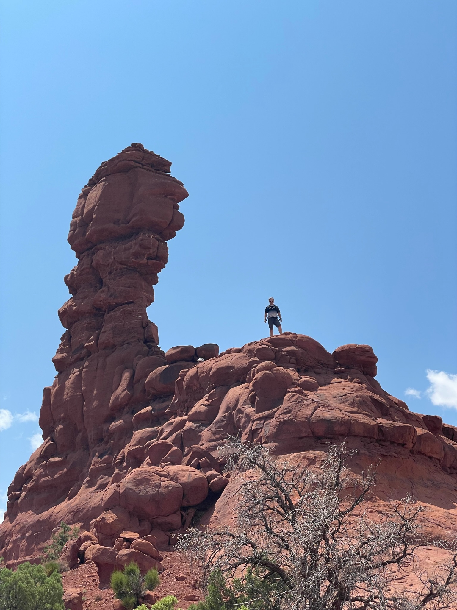
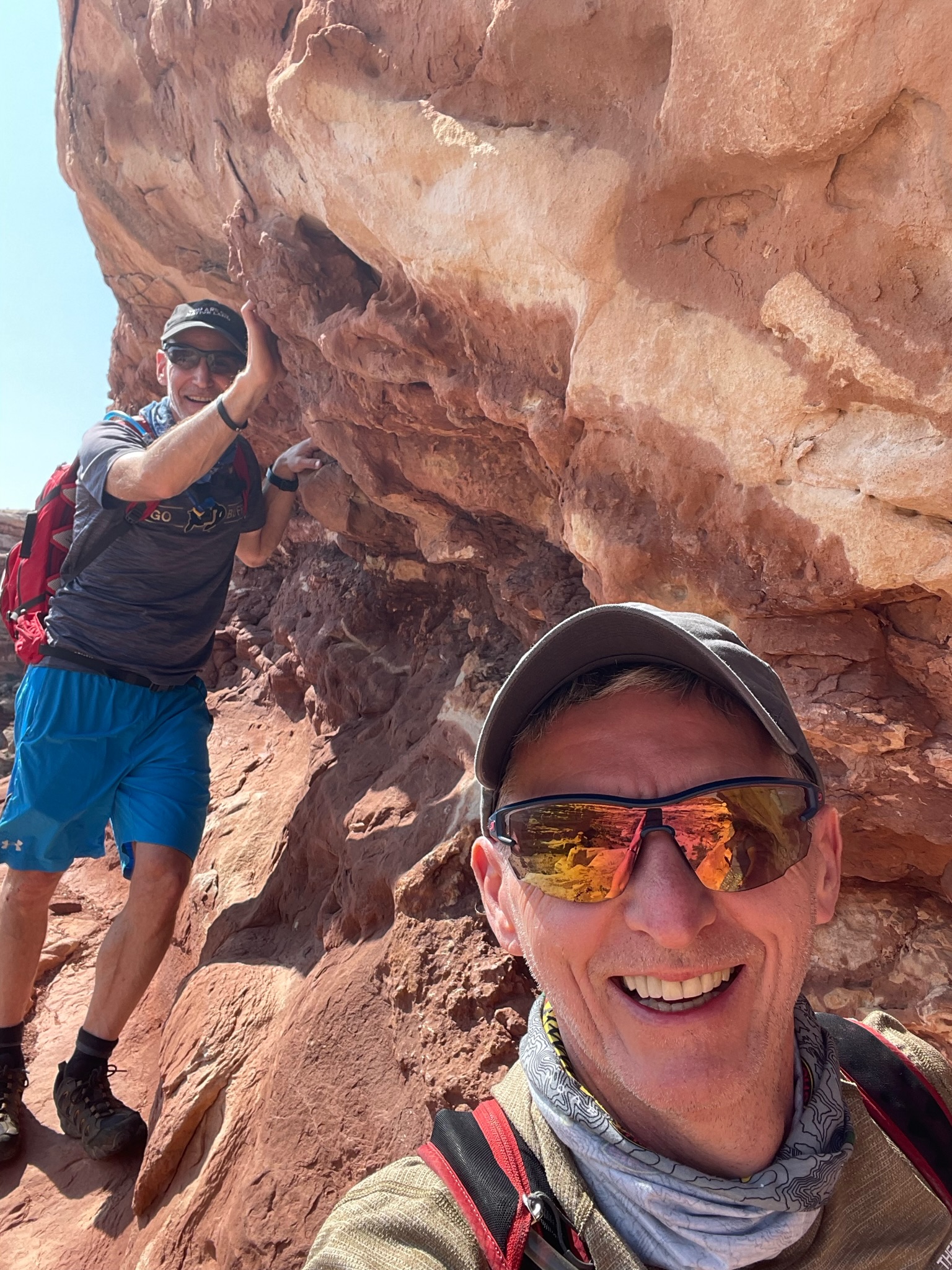
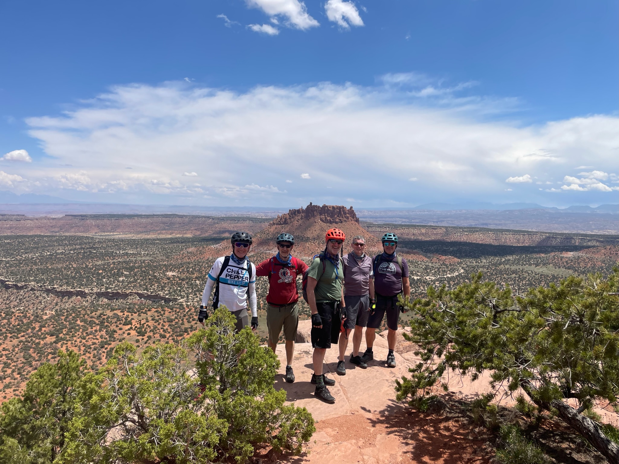
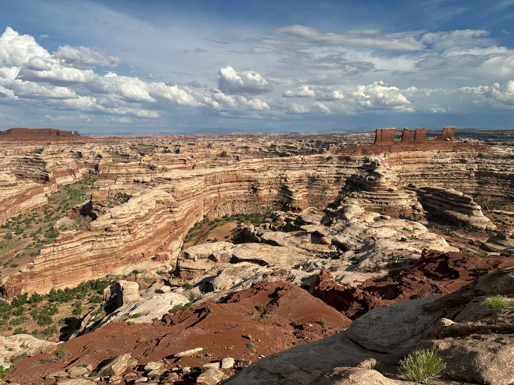
After passing Mother and Child, we stopped for lunch in the shade of The Wall. Then continued a few more miles to Chimney Rock where we stopped for a little hike and climbed up a bit to get some more views of The Maze.
According to Strava it was only 27 miles and only 1700ft of climbing, but everyone was pretty crushed at the end of the day – it’s one of those epic rides that gives you a full body workout and apps like Strava really don’t capture the amount of exertion you’re under.
The Chimney
I didn’t quite achieve my clean run goal – I dabbed a foot a couple of times towards the end – a combination of exhaustion and very tight technical step ups that appeared around a blind corner and left no time to prepare or build up any momentum.
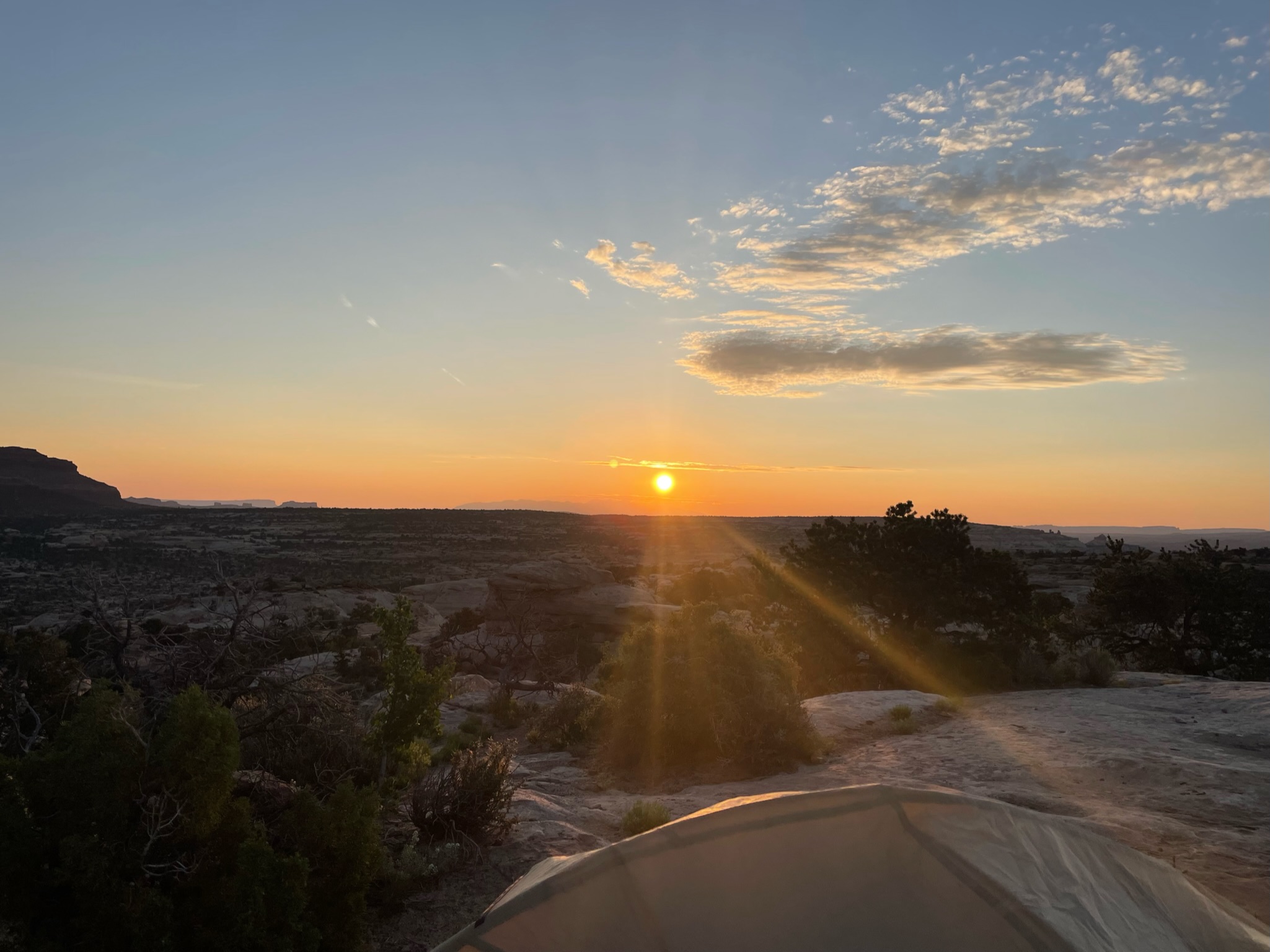
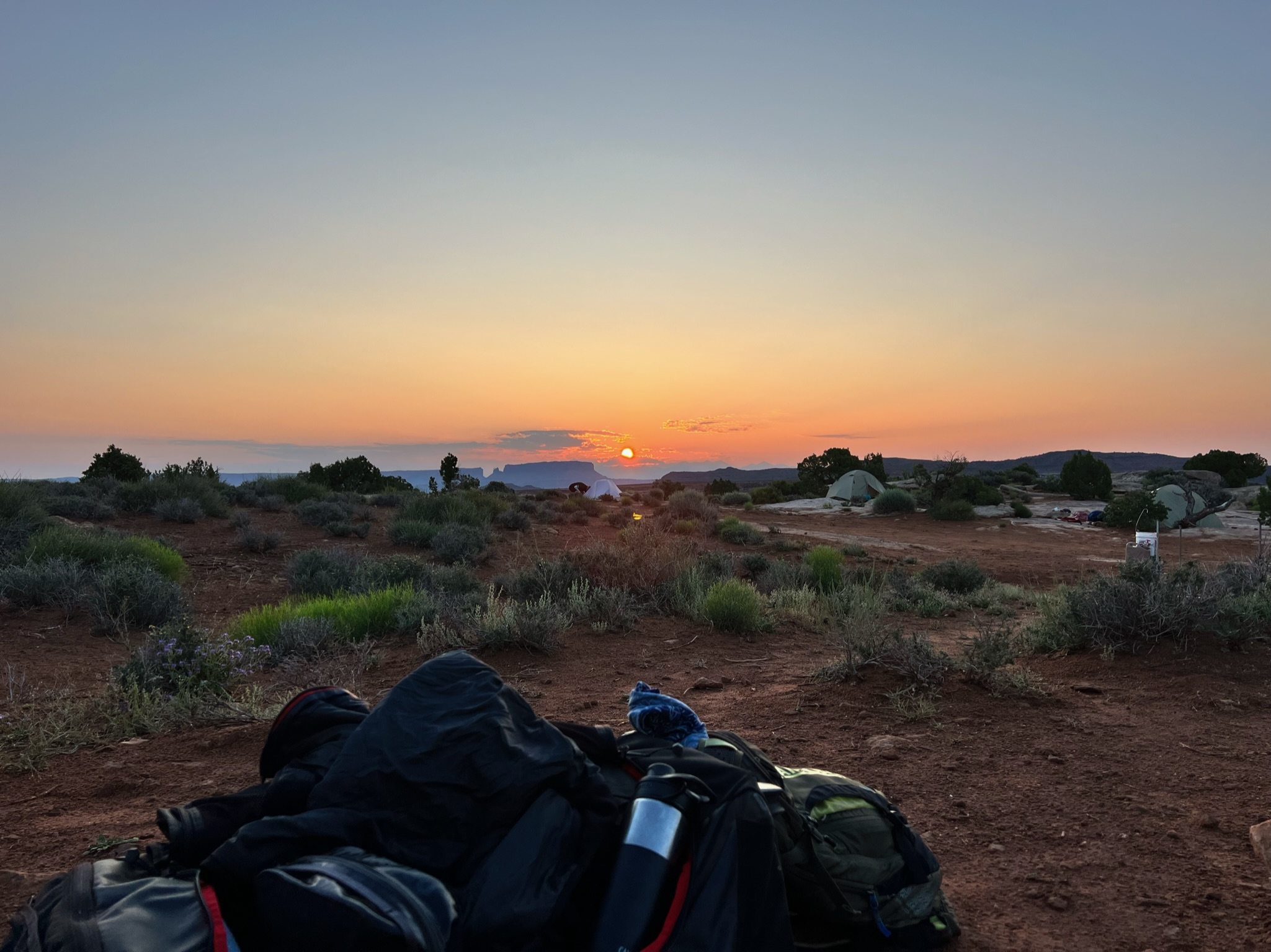
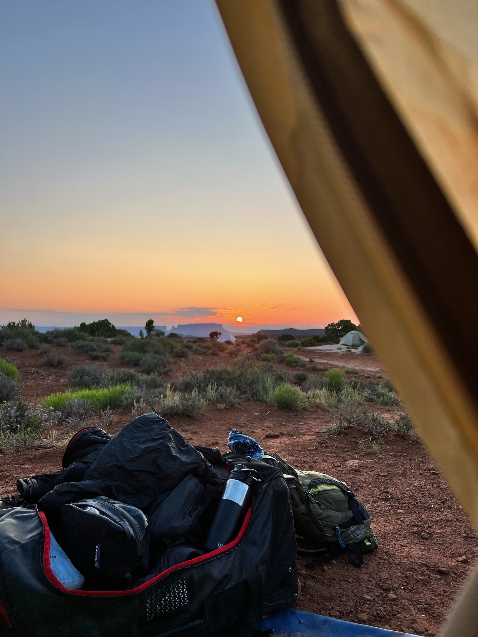
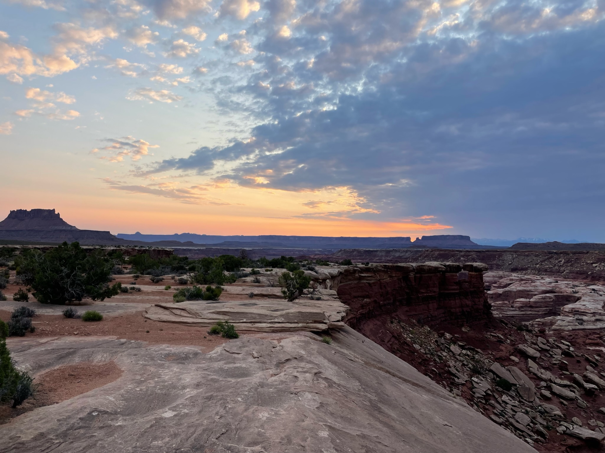
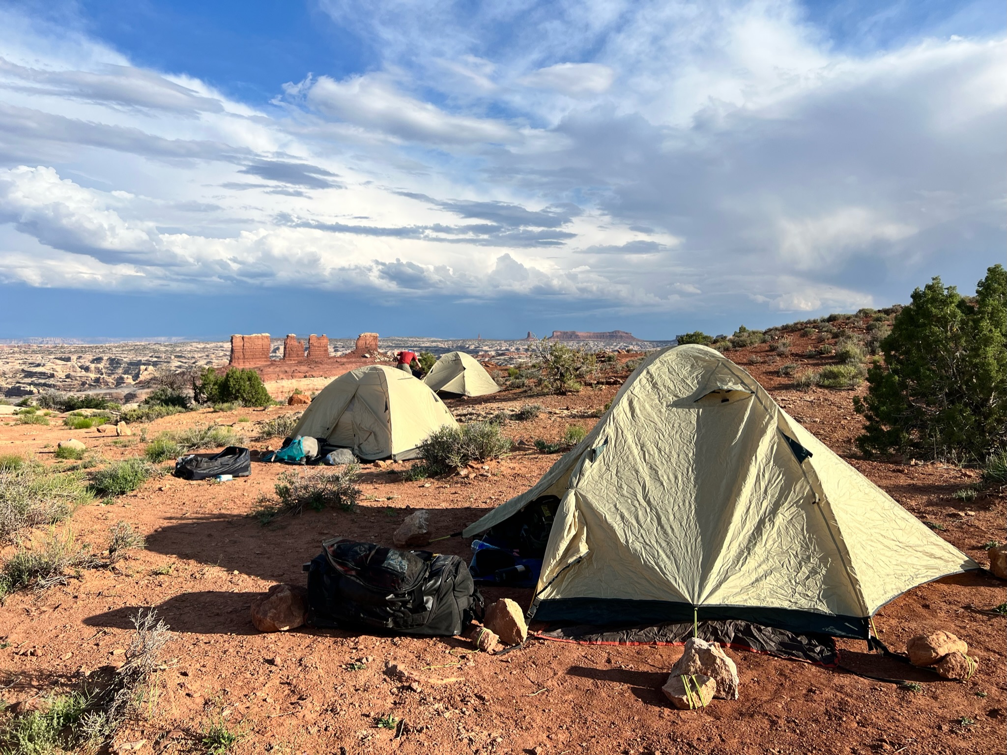
This was also our final night camping and my bladder forced me to get out and see the stars at about 2am – absolutely mindblowing.
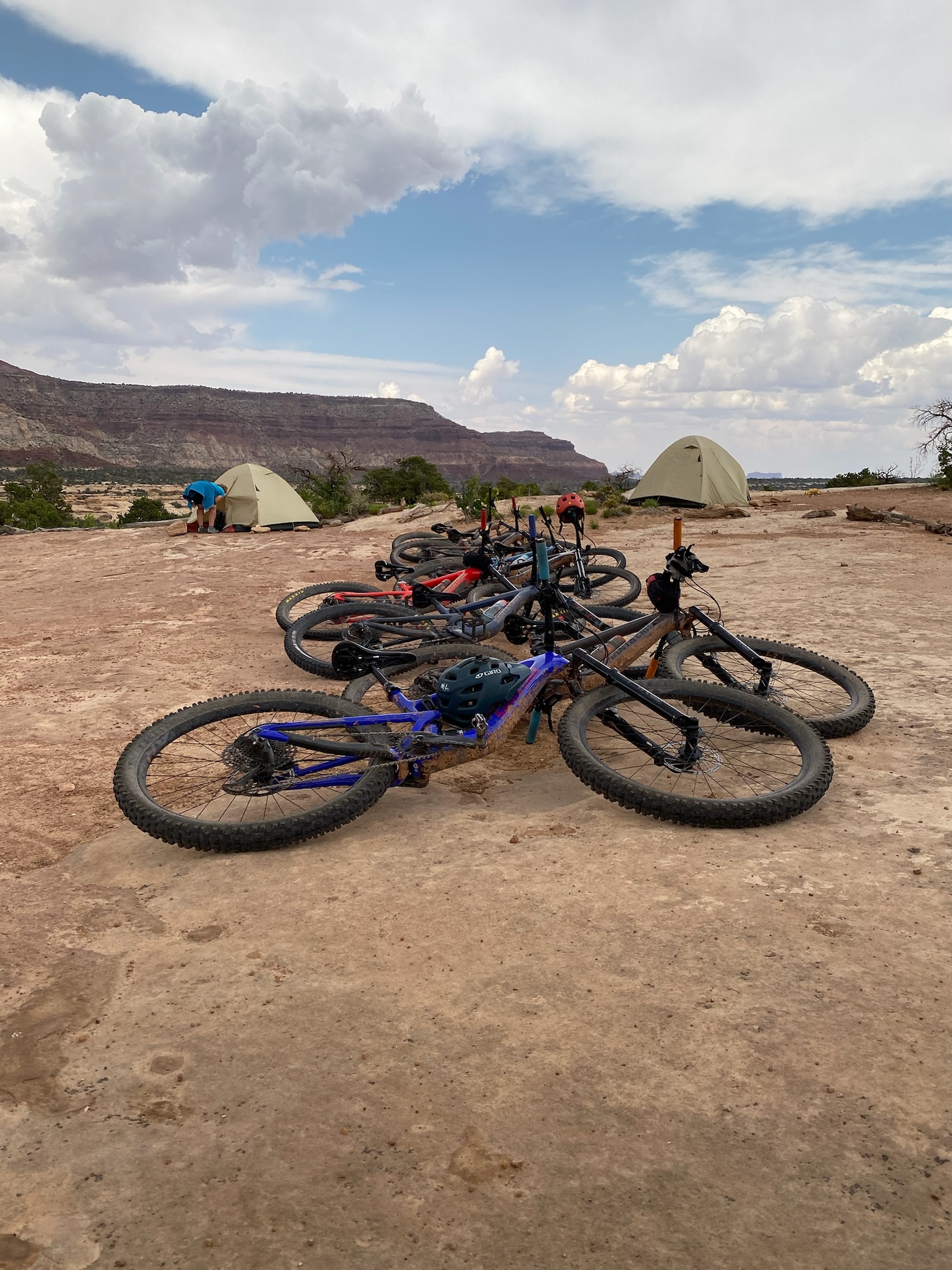
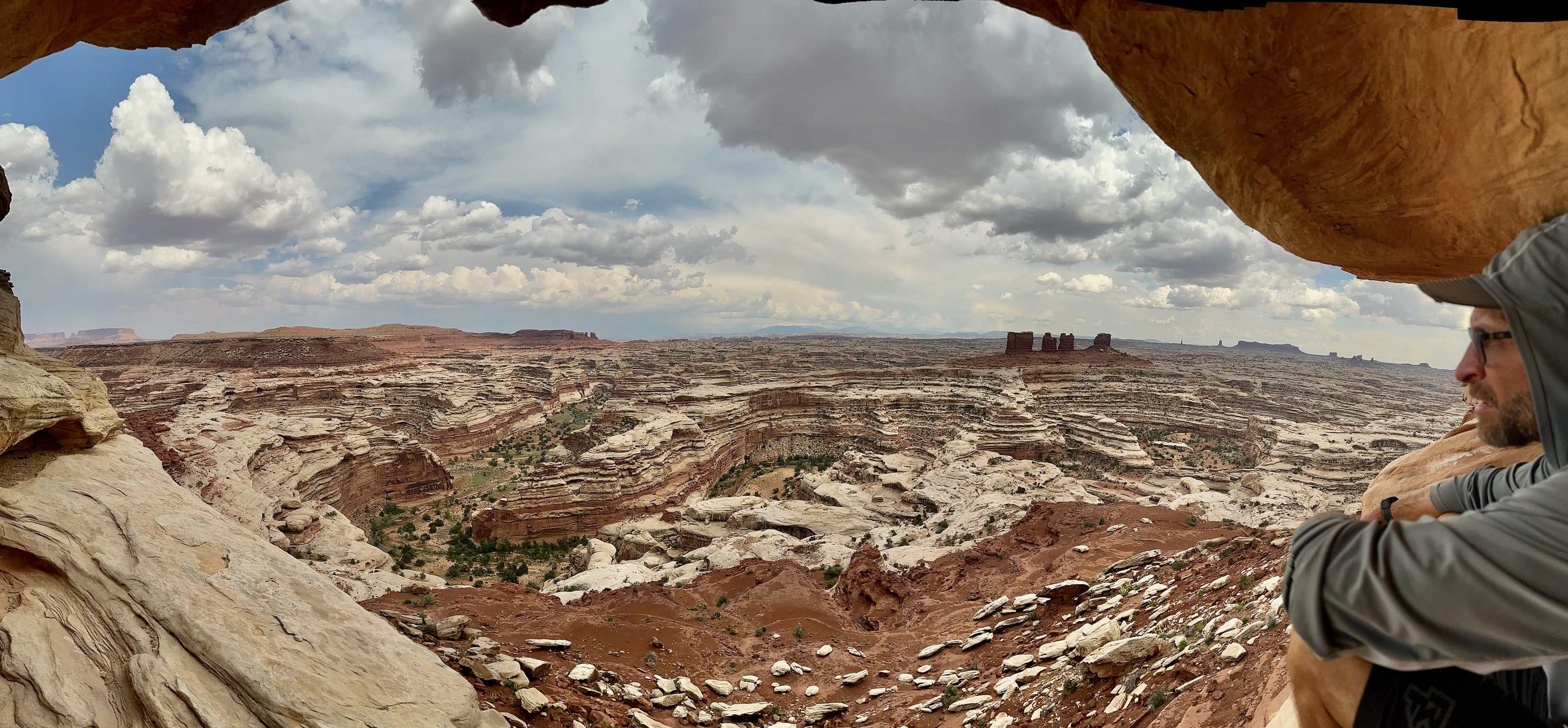
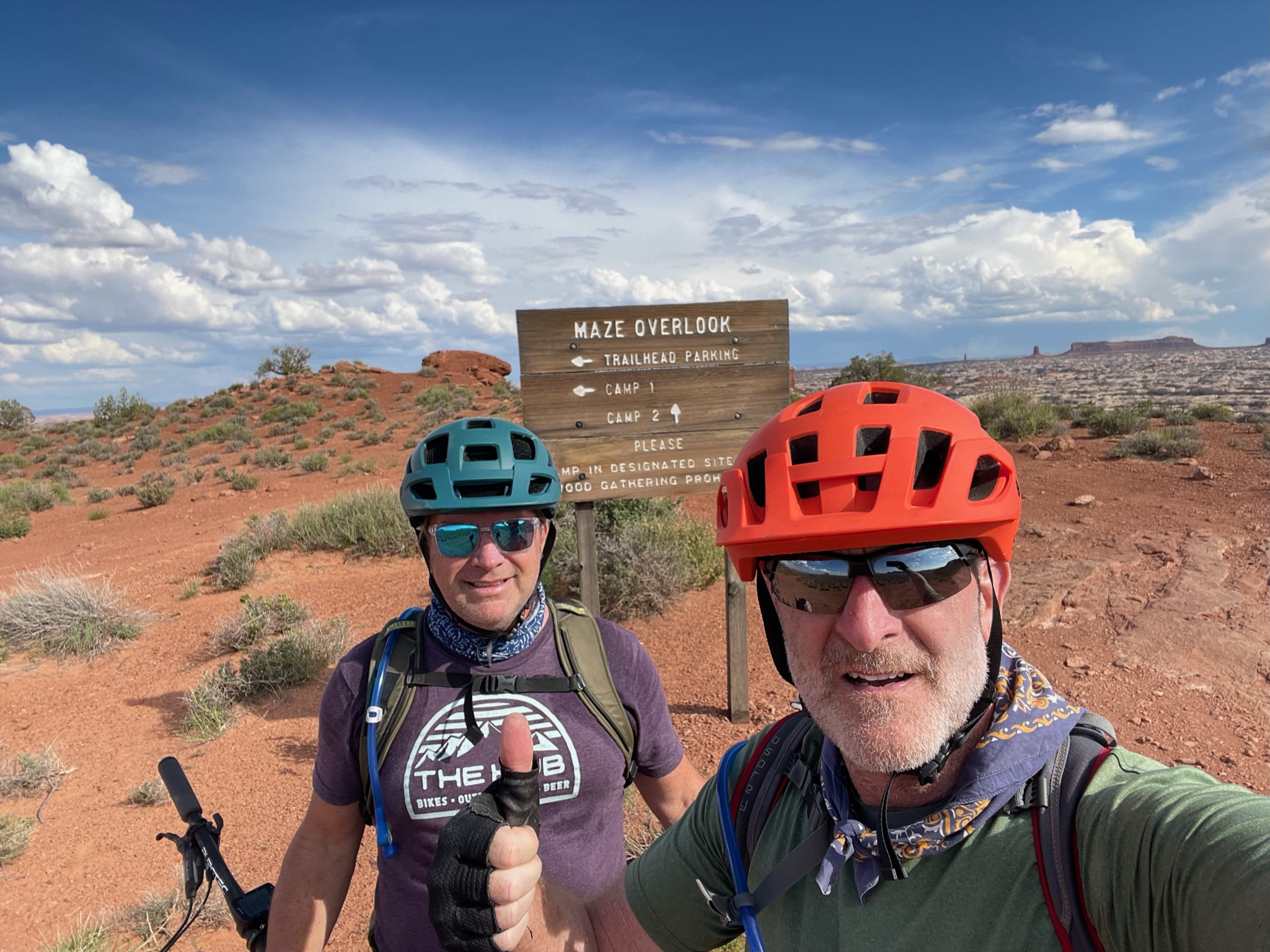
I’ve made a couple of these trips before (White Rim in 2016, Kokopelli in 2022), and I prefer this format – camping at two sites for two nights each vs. a new campsite every night – camping and decamping is a lot of work – especially when you’re already exhausted after a long ride. At this point – it’s worth pointing out that these back-country campsites are nothing more than an area marked for camping. There are no facilities – no water, bathrooms, seating, shade, fire-pits, nothing but boundary markers. But what they lack in amenities, they more than makeup for in location and stunning views. The Maze Overlook is one of the most incredible places I’ve camped at, and even the privy (aka Groover) spot has breathtaking vires while you contemplate the day ahead.
We hit the trails after packing our gear, de-gunging the bikes, doing a little bit of recovery yoga, and helping load the truck.
The morning entertainment was reversing our ride from day 1 – climbing back up the Golden Stairs, and regaining 800 feet in the process. After a quick photo op overlooking Canyonlands and Bagpipe Butte while we waited for the support truck to pick its way through the fairly technical uphill we bombed down and had lunch stop in a dry creek bed with little shade. Hot, hot, hot !
Post lunch was a leisurely cruise down to Teapot Campsite – our home for the next few nights. We had a big day of riding tomorrow on very technical trails. so we walked over to check it out and pick out some lines through the rock gardens.
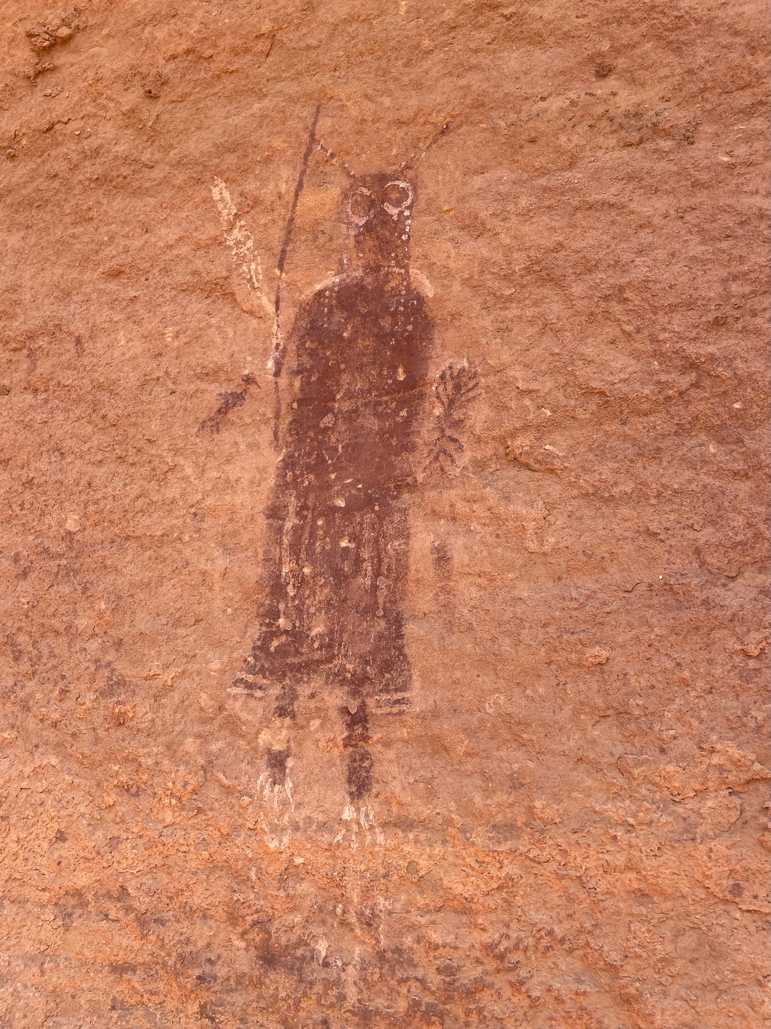
Today was a “rest” day – meaning a rest from riding. Instead, the plan was to hike/scramble/climb down into the canyon below our camp to view some of the world-famous Barrier Canyon pictographs and petroglyphs. The pictographs are believed to date from 2000 BCE to 500 CE (Common Era), but not much is known about who created them or their exact meaning.
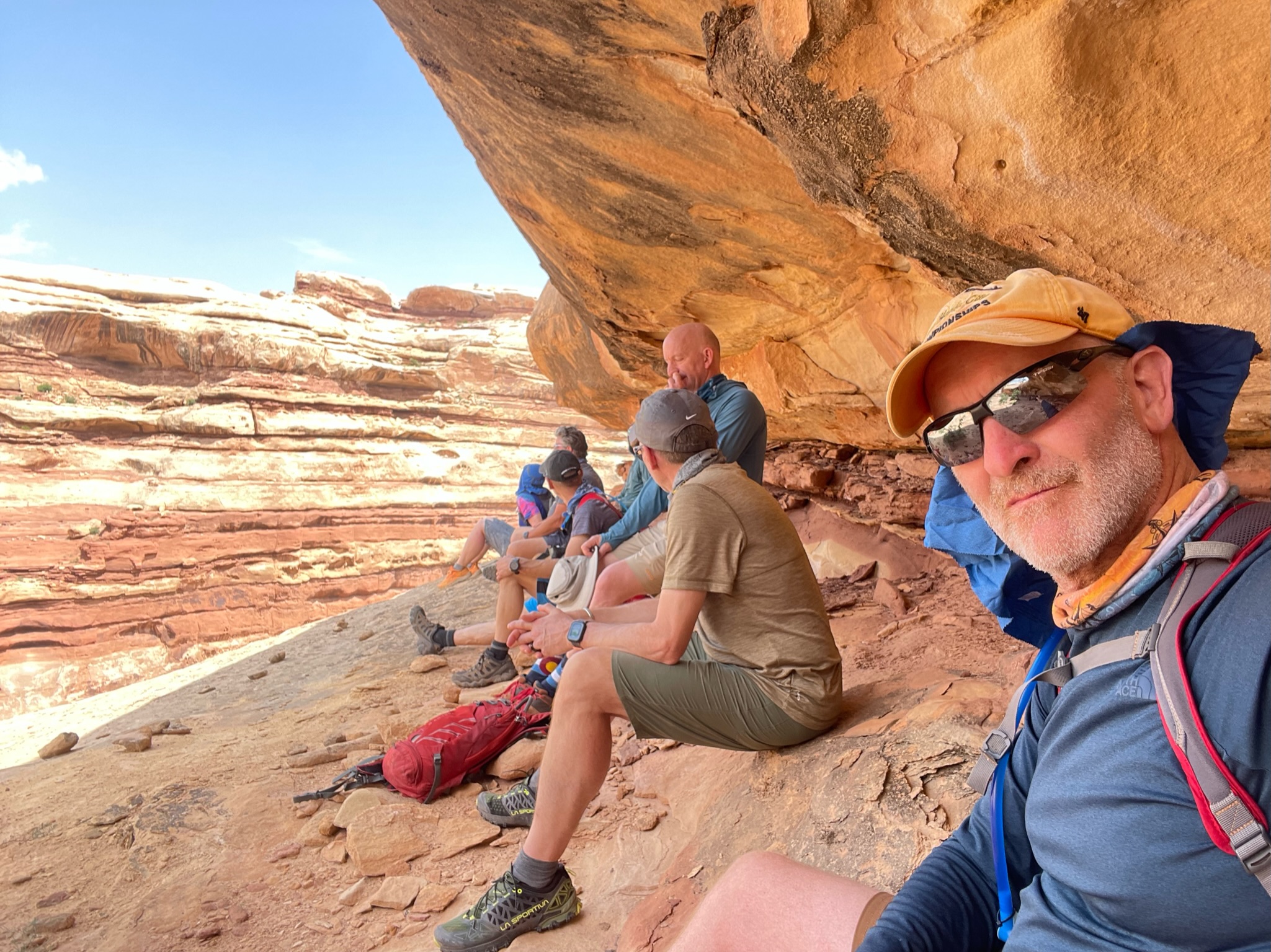
After drinking plenty of the best coffee for 50 miles in any direction and a cooked breakfast, we set off. It took us about 90 minutes to scramble down into the canyon, and unless you know exactly where you are going, I will not attempt this – there are plenty of places you could go off course and get into trouble. It’s a very exposed descent, the trial is not well marked, and a slip or fall would likely end in severe injury. There are some primitive Moki steps at a couple of points if you can find them. Getting out of the canyon with any kind of injury would be impossible without assistance and the right equipment.
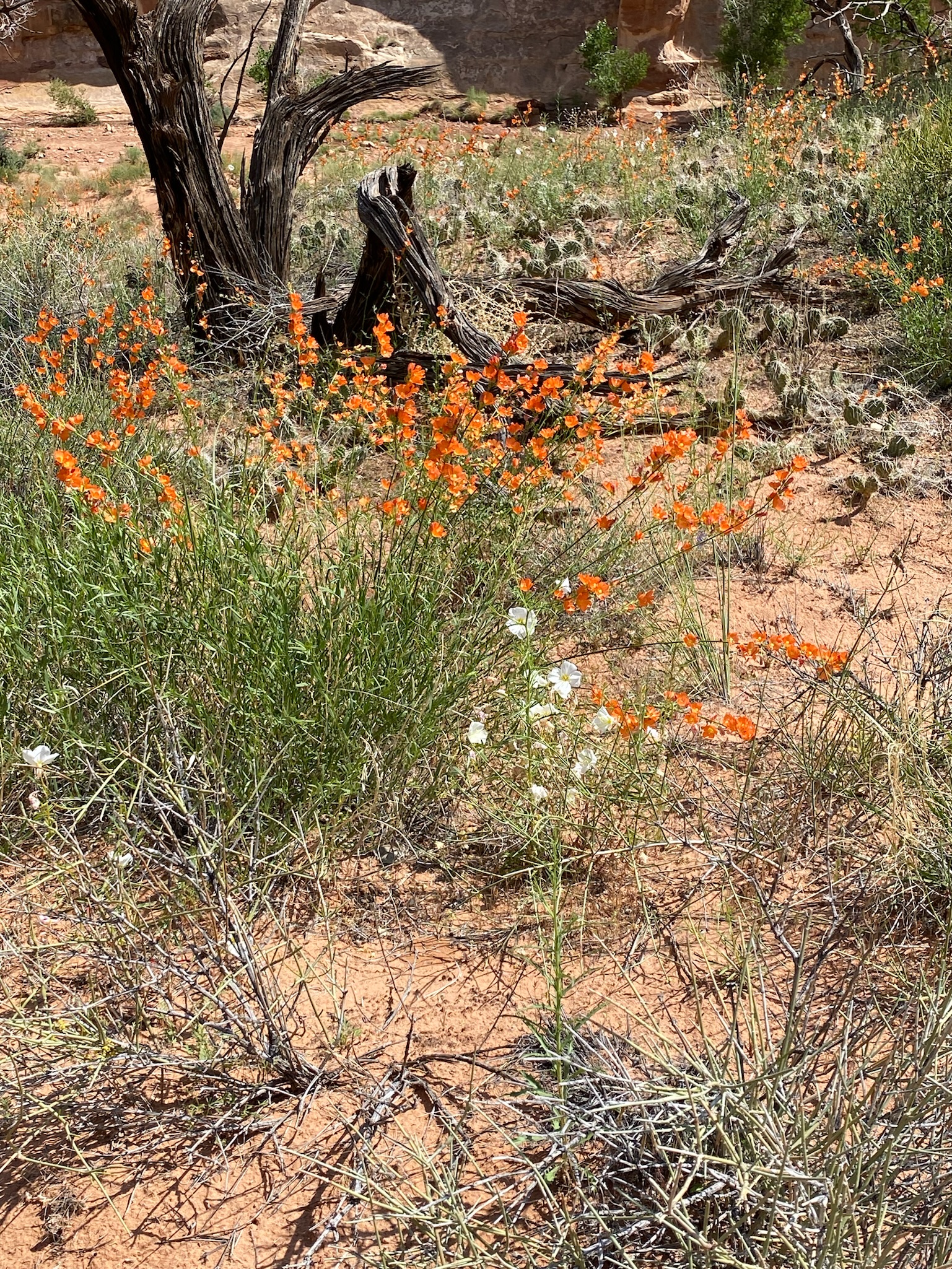
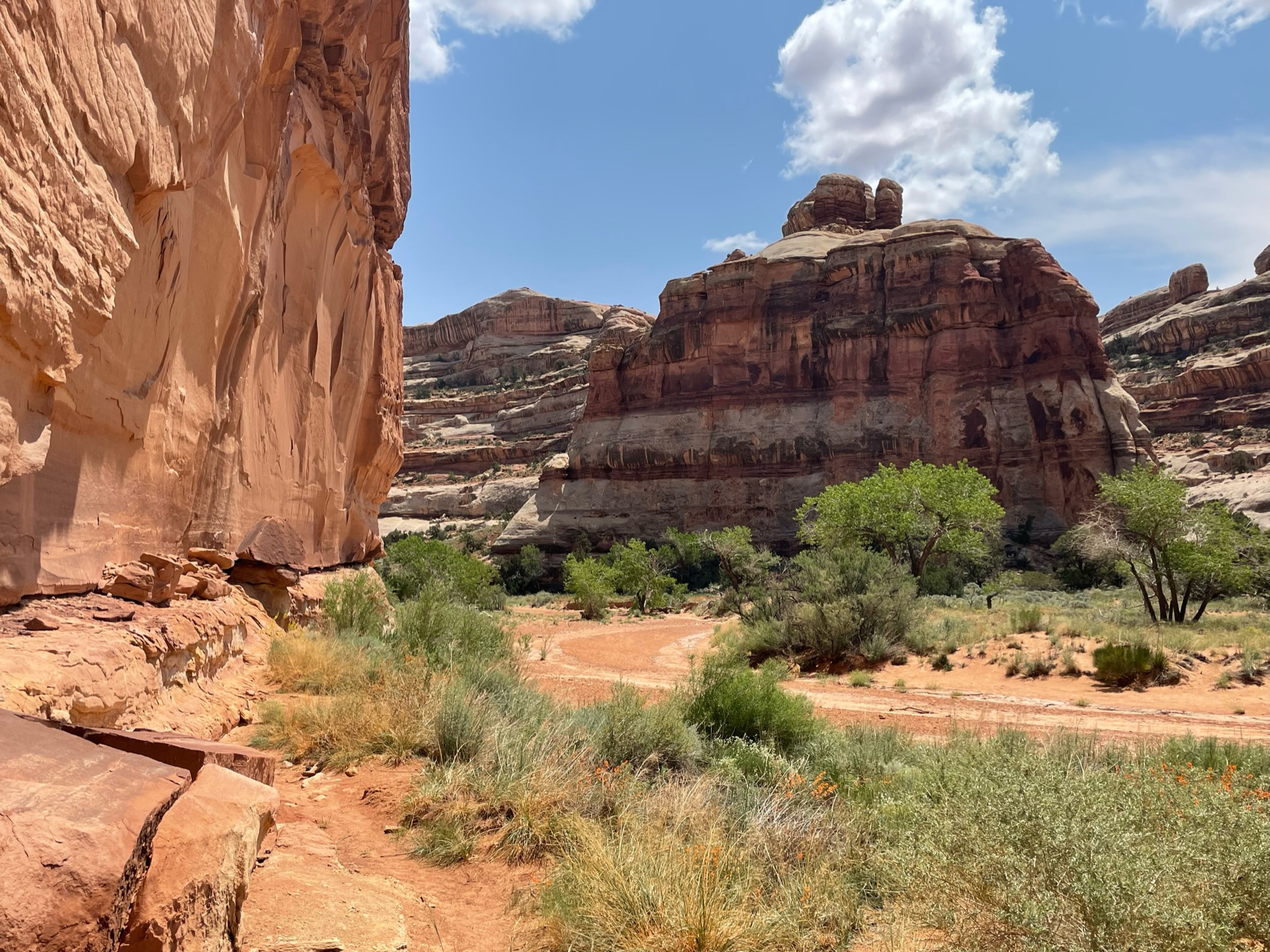
It was a toasty hike to the main Pictograph canyon with full sun, no shade, and no breeze. Once we got to the canyon floor, we were treated to an explosion of desert plants. There’s been a lot of rain in the area, and this was apparently one of the best spring blooms in living memory.
There’s not much online about these pictographs other than people’s accounts of hiking into the canyon to visit them. They are the same Barrier Canyon style as other sites in the area – nearby Horshoe Canyon being one of the most extensive sites.
The hike back up to camp was much quicker and easier but still pretty strenuous, and we even found a little shade. Fortunately, there were no injuries aside from a few scrapes, and it was great to spend time in an area that very few people will ever have the opportunity to visit, given its remoteness.
Returning to camp for a few beers, another excellent dinner, and a spectacular lighting and rainbow show was a good end to the day.
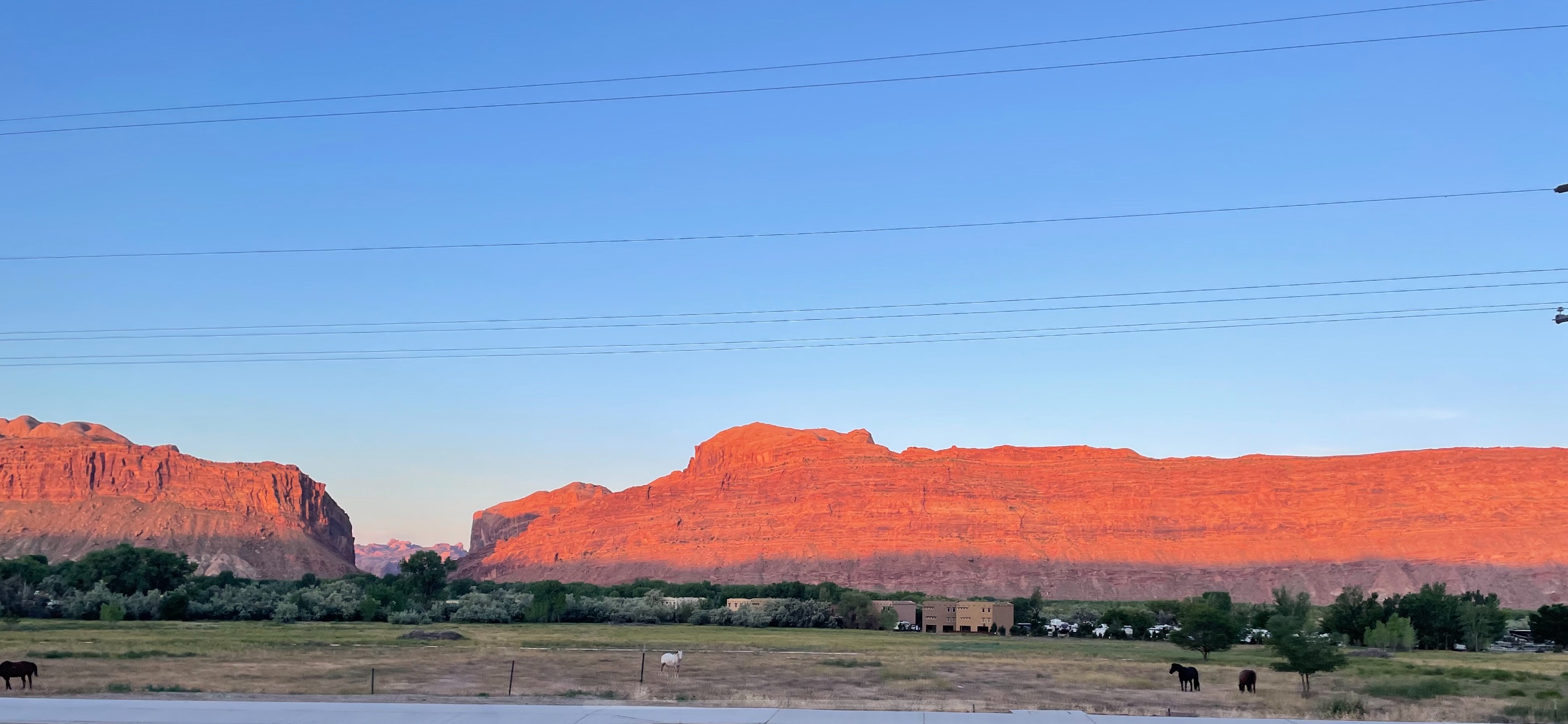
We had an early start, but as we’re all East Coasters – we were all wide awake before the 5.30am alarm. The Sunrise in Moab is always special – the red sandstone cliffs glow red, and you can start to feel the sun’s heat. We packed up the rental car – literally packed it to the gills, and headed off to Green River to meet our Rimtours guides and fellow explorers. We caffeinated on the edge of town at Horsethief Coffee and arrived at Green River in time for breakfast at Tamarisk, where we watched the very swollen Green River rush by.
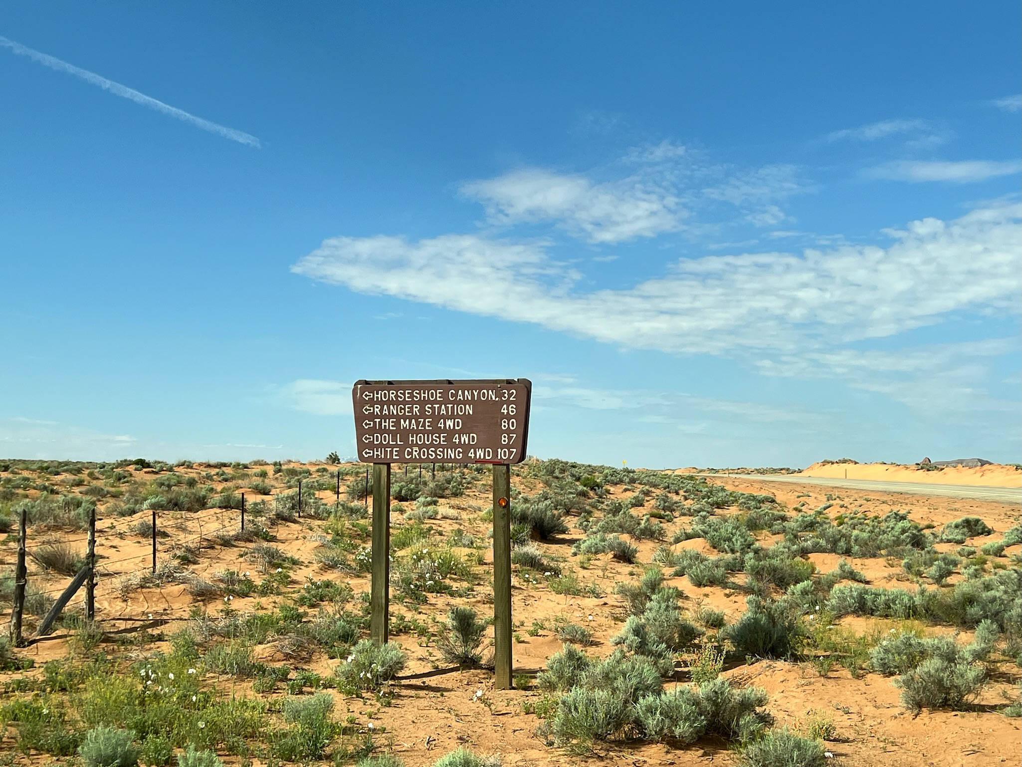
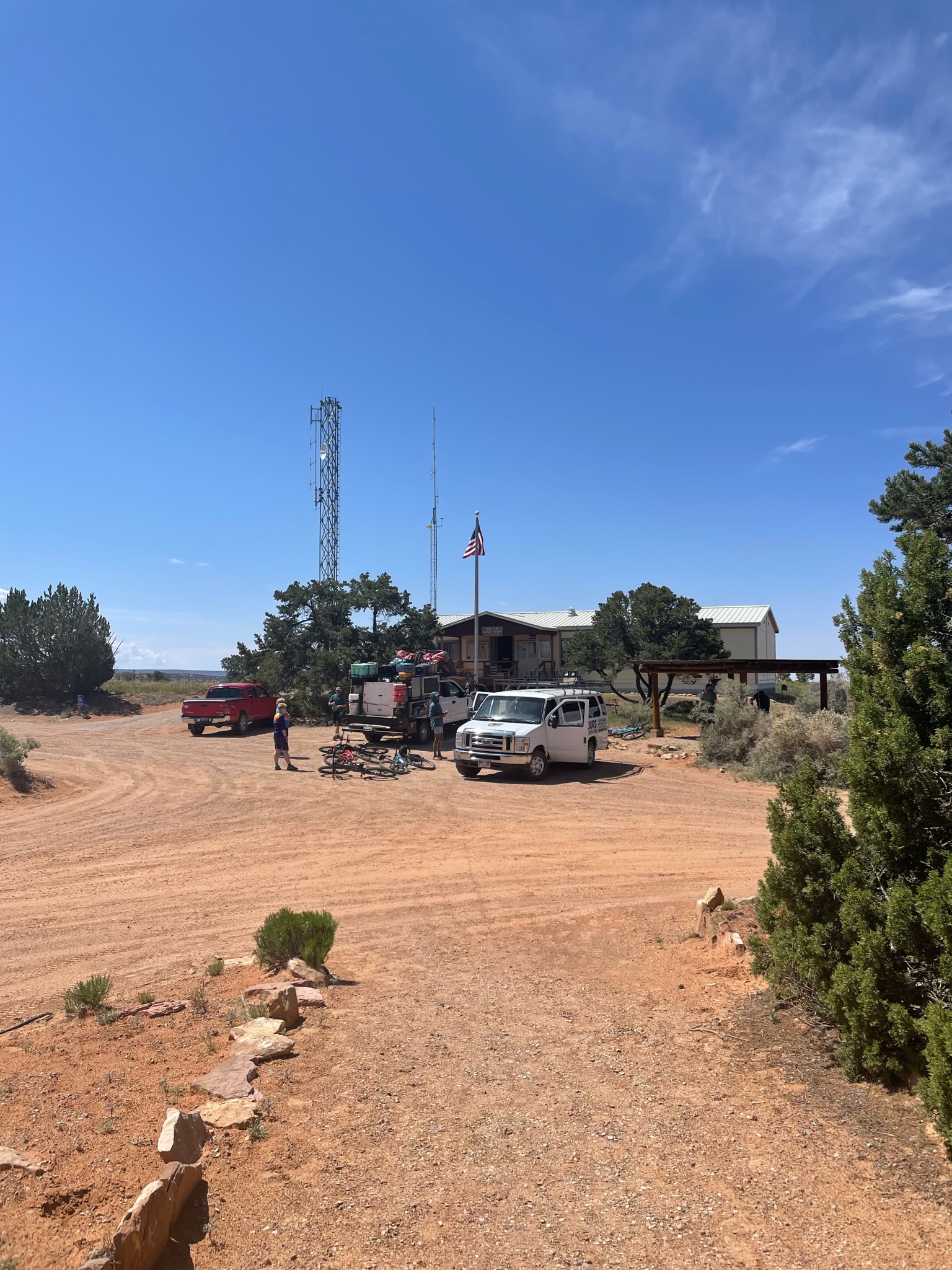
The start of our ride was at the Hans Flat Ranger Station on the western boundary of the Canyonlands. Getting there was an adventure – 46 miles of washed-out Jeep trails through barren BLM-owned high desert. Once there, we met our guides and fellow travelers (Donna and Sue), got our gear and bikes ready, transferred our packs and camping gear, and reviewed the route for the rest of the day.
Saying goodbye to civilization and the extensive facilities at Hans Flat – a shaded picnic table, a vault toilet, and a map. From here on – there’s no potable water, bathrooms, or electricity, and the only shade is provided by stubby Juniper trees and your own headwear.
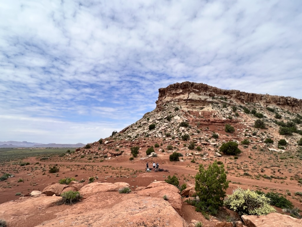
The morning ride was a pretty easy, flat ride along the top of the Orange Cliffs, stopping for pictures at the Bagpipe Bute overlook; we then dropped down the Flint Trail switchbacks and had a quick lunch break at the bottom.
After lunch, we dropped a few more hundred feet and entered the Canyonlands NP, where we encountered our first Canyon. As impressive as it was – we’d discover in the next hour or so that it was barely a ditch at the side of the trail compared to The Maze.
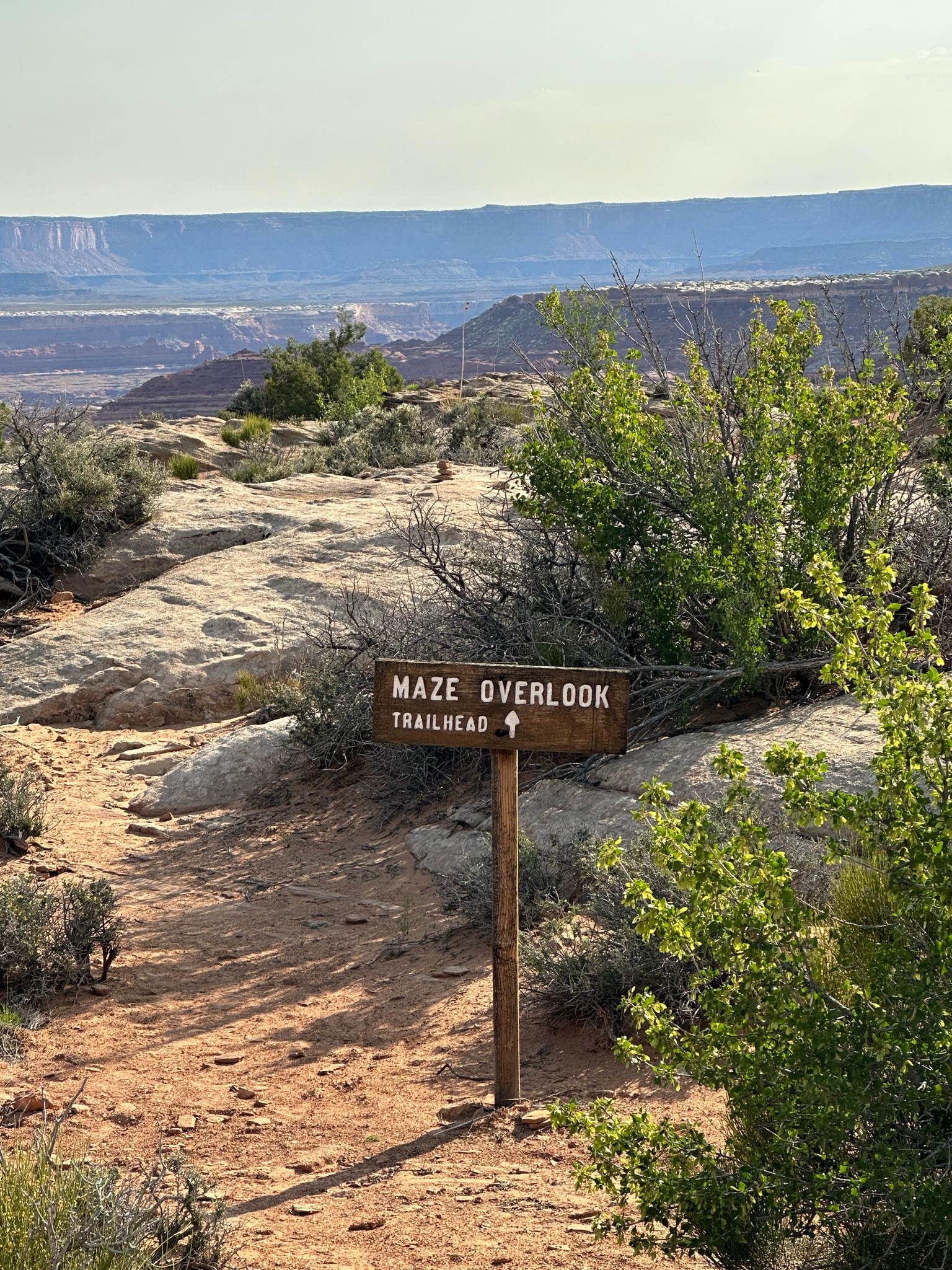
Day 1 – mission accomplished – 28 fairly easy miles. The final destination for day 1 is Maze Overlook, Camp 1, and our base for the next few days.
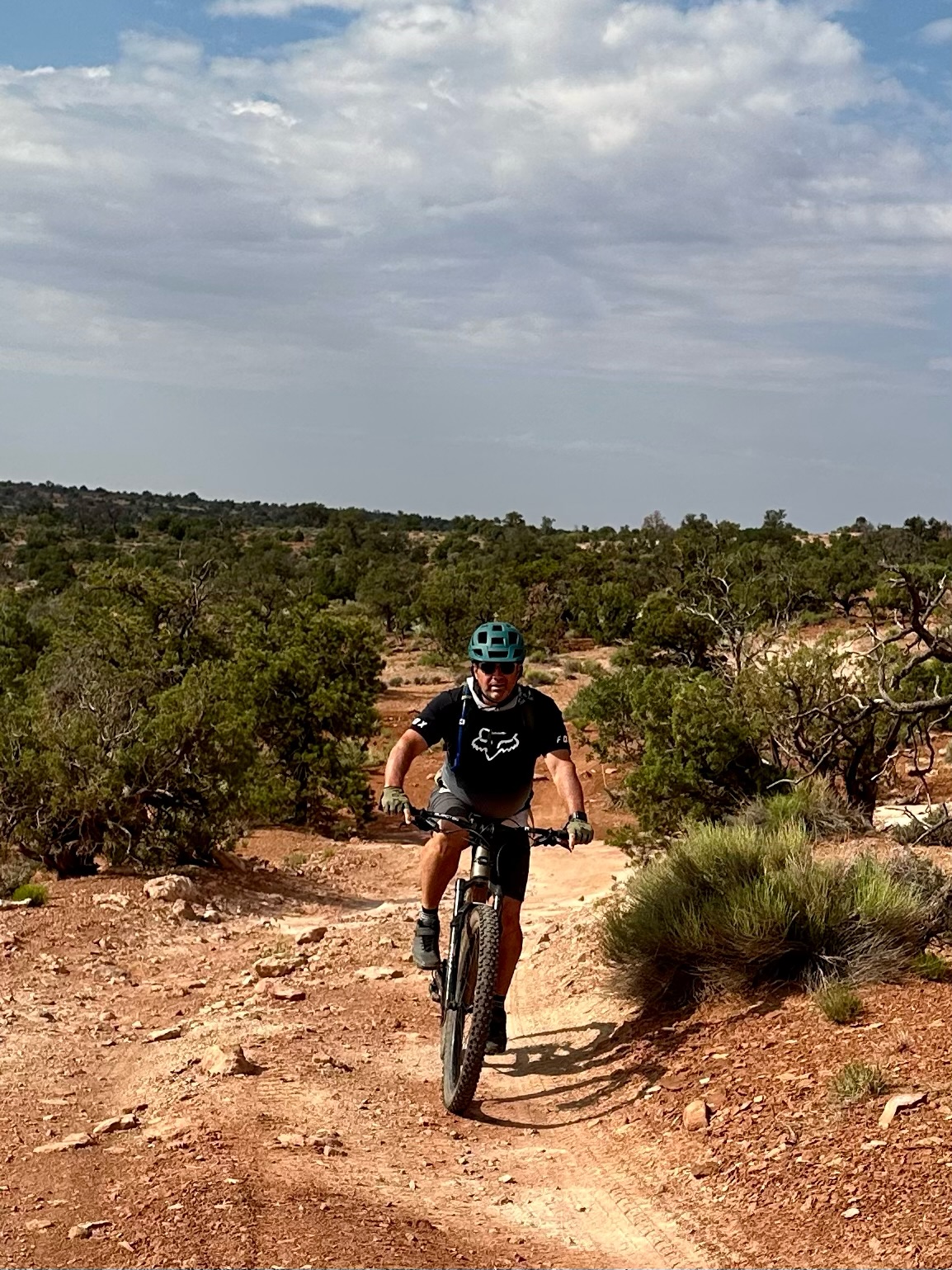
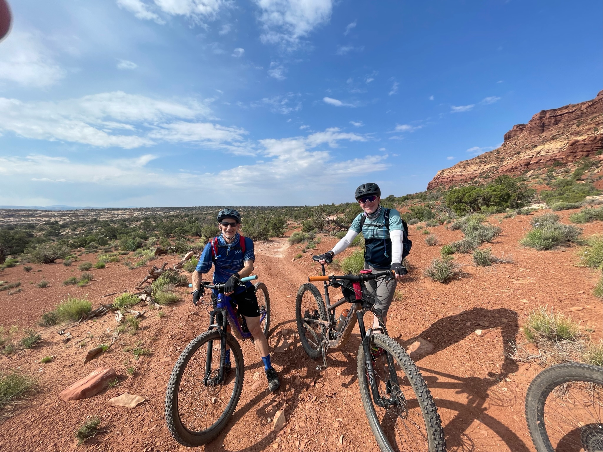
After 5 days of riding, Jack and I still had a bit more ride left in us – our fellow explorers decided to try something different for the day but we were determined to make the most of what Moab has to offer in the shredding department. Our RimTours guides recommended a couple of local rides. The HyMasa / Captain Ahab and the Mag 7 seemed like the best options and we chose Captain Ahab because Jack thought we really needed to do a double black diamond after five hard days of riding and I’m an irresponsible father.
We re-rented the same bikes we’d been using for the last four days and were dropped at the start of HyMasa by David – one of our Raleigh compadres. It was around 10am and already fairly busy (probably due to OuterBike).
HyMasa is a slow 3 mile grind on a mixture of rock and dirt and is mostly pretty straight forward but you have to keep moving to ascend the numerous rock steps that take you up to the start of Captain Ahab. This really is some of the best mountain biking I’ve ever experienced – slow going but fulfilling.
On the way up my son and I passed a pivotal moment in our father son relationship – given his superior fitness going uphill and fearlessness going downhill – he became the leader; and me the follower. Of course he didn’t notice – he was too busy racing some of the local hammerheads to the top of the mountain.
After you’ve enjoyed the amazing view you start the Capt. Ahab descent – it’s all very technical though most of the big drops have an alternative line so you can make the ride as hard or easy as you want – there were only a couple of places we had to dismount and walk. But this really is a very technical and unforgiving trail – if you take a fall you’re going to get hurt and you’re a long way from anywhere – I never ride in knee or elbow pads but would definitely do that next time. Jack came off twice and was lucky to only loose some skin – we slowed our pace after the second tumble.
When we got back to the parking lot (after a short traffic jam due to 4 wheelers) the mountain rescue team were heading into HyMasa with a stretcher – a rider had fallen and broken his arm (compound fracture) – a good reminder that while this is some of the best MTBing on the planet – it’s not without it’s risks.
This is a trail I would definitely ride again – with fresh legs and some armor it would be a blast !
After the evening’s star, satellite and ISS spotting we woke to a beautiful calm and clear morning. Being next to the Green River where there’s a little more moisture – we got a mild frost and the Sun took a little longer to rise over the surrounding mesas but once it did we had coffee and a decent last day breakfast in the (relatively) warm morning sun.
First task of the day was to reclaim all the height we lost tearing down Murphy’s with a tough couple of climbs straight out of the camp (Hardscrabble) – no chance to warm up the legs or lungs.
The next 7 or 8 miles along the Green River were mostly flat and fast with some interesting stops on the way to view some old Anasazi Indian ruins and artifacts the guides had discovered over the years.
Between us a lunch was our final and toughest climb of the week – Horsethief Bottom up to the Island in The Sky – it’s not technically hard – just soul crushing as the alpine-style switchbacks seem to go on forever. The kids practically sprinted up leaving many of the adults in the dust. My plan was to start last and attack from the back – I didn’t quite pull off the second part of that strategy ;(
Our ride finished with another great lunch in the parking lot at the top of the climb – more stunning views and a great place for some group pictures. But there’s more …
It was great to wake to a warm sun rising and no wind and a good opportunity to dry and air our gear before packing it away. Day 3 mileage is about 22 miles but it’s either downhill or flat and pretty fast.
After we’d eaten breakfast, caffeinated and decamped we hit the trail which starts with a fast and long down hill section giving up about 900ft of altitude. At about mile 6 we stopped take take in the views of the Green River and White Crack – a long fissure on the White Rim which is a few hundred feet deep and 6″-12″ wide. At some point a huge section of the White Rim will sheer along this fissure and a couple of millions of tons of rock will crash into the valley below. Fortunately not this day.
At about mile 13 we stopped for lunch and a quick detour to explore Holeman Canyon – an interesting and fairly accessible slot canyon that ultimately drops into the Green River.
How far you can explore really depends on the level of the floor which rises and falls depending on what storm wash-off leaves behind. Pro-tip for exploring slot canyons – wear regular shoes – climbing in cycling shoes is a little tricky.
I left my phone in my pack so didn’t get any pictures but this Google Image search will give you a good idea of what to expect.
The last few miles roll fast and slightly down hill to Potato Bottom campsite. It was a cold and clear night – perfect for some star gazing after dinner.
The good news was that my trusty 25 year old 2-season tent survived – but only just. The bad news was that I had a pretty poor night’s sleep – howling wind, flapping tent fabric, driving rain. So much for an early start – we ate breakfast and scrambled back to our tents until the rain cleared – then quickly de-camped, wrapped up in our warmest, most waterproof gear and headed out. The second day is a tough one – about 30 miles, some tough climbs and some interesting weather to contend with.
First an admission and some practical advice. Somehow I ignored the good advice on what to bring on the trip. I have every conceivable piece of outdoor gear to survive practically anything mother nature decides to inflict on me. But I left all of it at home.
Instead I packed pretty lightweight (North Carolina Winter) cycling clothes and very basic waterproofs – we have enough good riding days in NC that I don’t cycle if rain is in the forecast. Jack had to borrow a thicker Waterproof from Beth our guide (hence the color) and we had to put on double and triple layers.
An hour into the day’s ride we were cycling into vertical rain and sleet with a bit of snow thrown in. About 10 miles in (Gooseberry Camp) Jack was frozen and it was clear that no amount of riding was going to warm him up – so he rode in the support truck with Beth until our lunch spot at the White Crack junction 10 miles later. As soon as we crossed over the small ridge we we’re out of the rain and wind and into the sun – we all spread out like lizards to get our toes and fingers moving again.
The next few miles were flat and fast then you hit Murphy’s Hogback – our first serious climb. It’s loose, dusty and a bit of a lung-buster but with the right technique and some stamina – all rideable. The picture below shows our support truck rounding the corner at the top.
The hard work climbing the Hogback is rewarded. Murphy’s Camp must be one of the most spectacular camp sites on the planet – 270 degree views from 5200ft – just awesome. But it’s high up and pretty exposed so pretty cold – it also gives you a great view of what’s in store the next morning – what goes up …
Slick Rock is one of those classic rides just on the edge of Moab you have to do. The area is a mass of undulating sandstone hills that was first a motocross and off-road trail – the Mountain Bikers came later. It’s called slick rock because horses slip on it. Humans don’t – you stop almost instantly due to the sand-paper like texture – if you fall off on this stuff you will loose skin.
We had very limited ride time as we’d hiked in The Arches in the morning, eaten lunch in downtown Moab and by the time we’d rented bikes (from Chile Pepper) we only had about three hours including getting out and back to the bike shop. So we chose to limit our ride to the 1.6 mile beginner loop.
It was a fun ride and certainly a good way to acclimatize the legs and lungs – nothing super technical but a few very sharp, short climbs and a few sand-traps. It’s mostly just a lot of fun as you roller-coaster around the well-marked trail – once you get used to the amazing friction you’ll find you can ride just about everything here. Back near the start of the trail – the kids discovered a decent descent with a little jump at the end so we goofed around there for a while. Half our party drove back into town with their bikes – the other half, including Jack and I blasted down the road back into town and added another couple of fast miles to a fun ride.
Again – great warm up for the week – should I ever get back to Moab – I’d definitely head out there again and do the full 11 mile main loop.