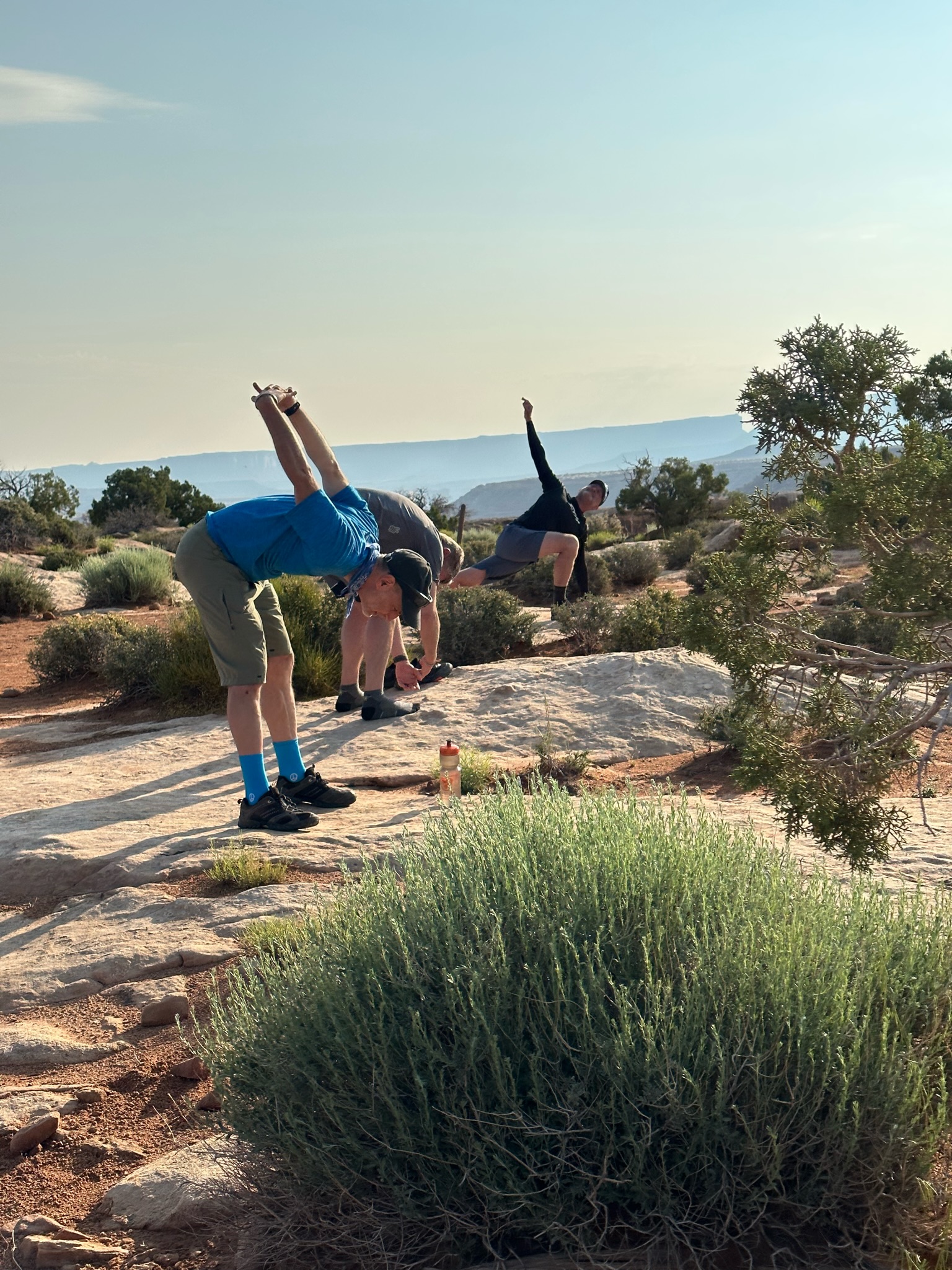
Final day and a long ride out of the Canyonlands to Hite at the north end of where Lake Powell used to be before it dried up and shrunk. We packed up camp – enjoyed the final views from our amazing campground, breakfast, and some stretching, then loaded the support truck to head out on our long but mostly downhill ride.
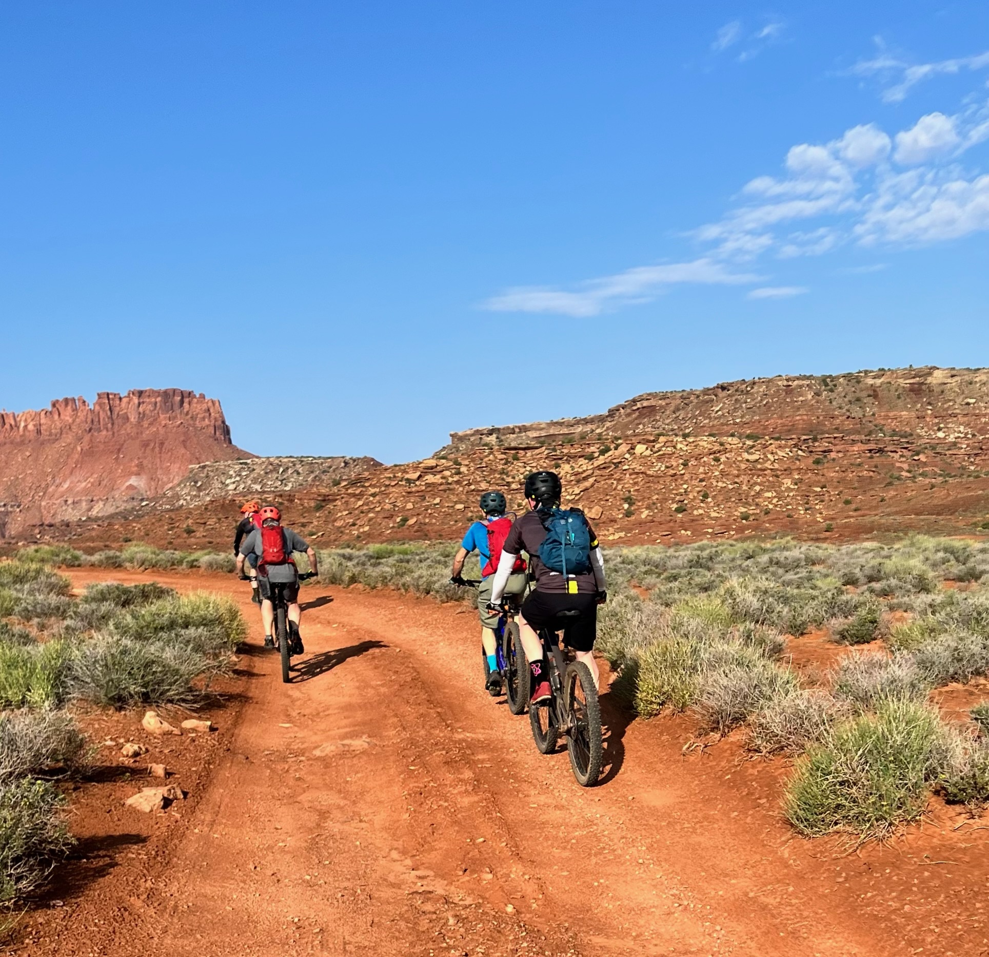
The riding was pretty easy, though on tired legs, even a small climb turns into a real effort, and there were plenty of climbs as we passed through washes and over rolling hills. The views were as spectacular as we’d seen over the last 5 days, with some broad vistas of the Henry Mountains to the North West.
We made a few quick stops to regroup and take in the views but mostly hammered toward our goal. The goal was Stan’s Burger Shak in Hankersville which serve the best / only milkshakes for a hundred miles – good to be back to cold and creamy civilization.
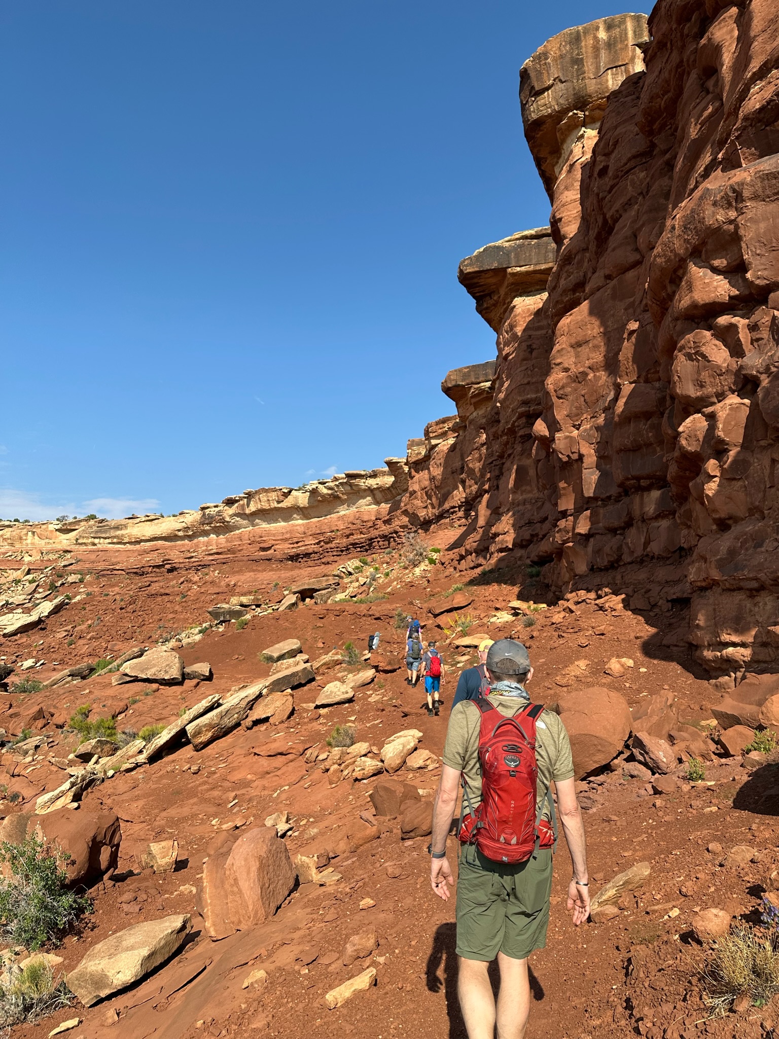
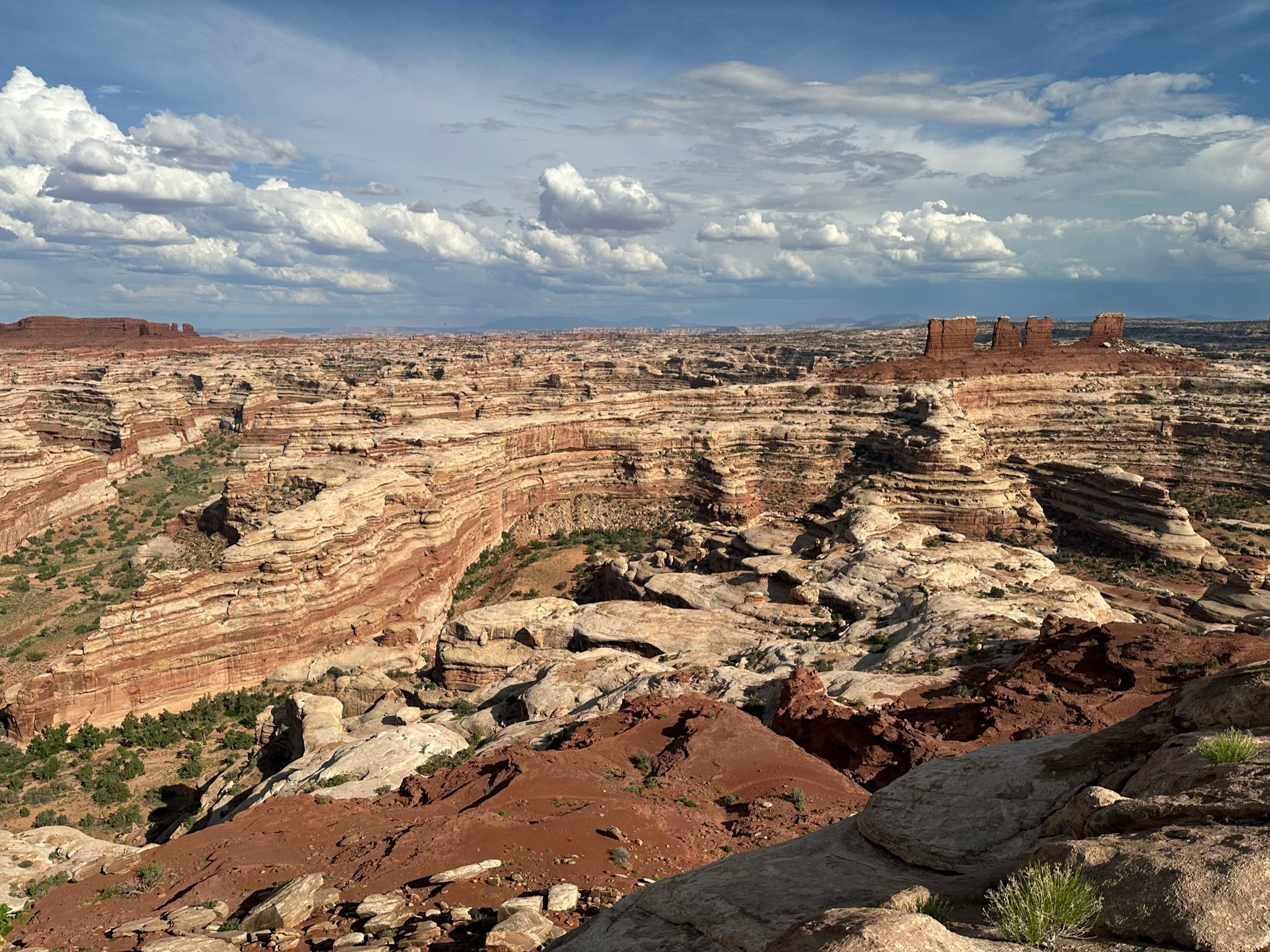
Another early start for a long day of riding. Heading back into The Maze and the Land of the Standing Rocks – some cool rock formations we could see in the distance from Camp on the first night.
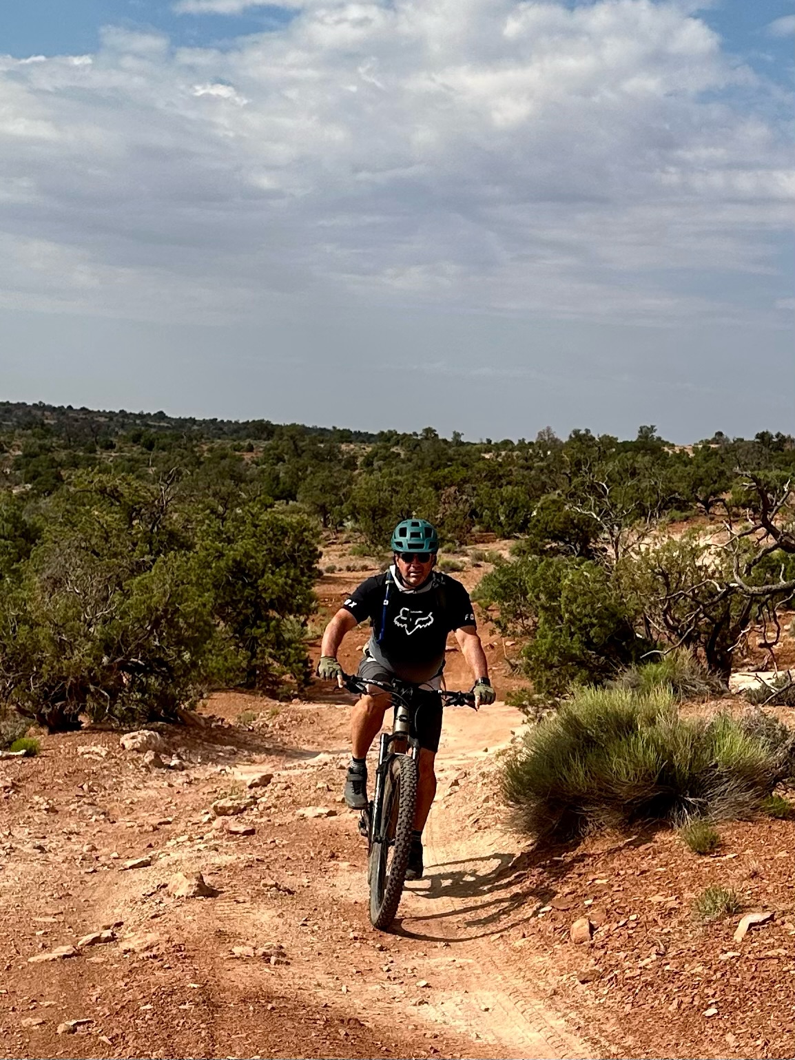
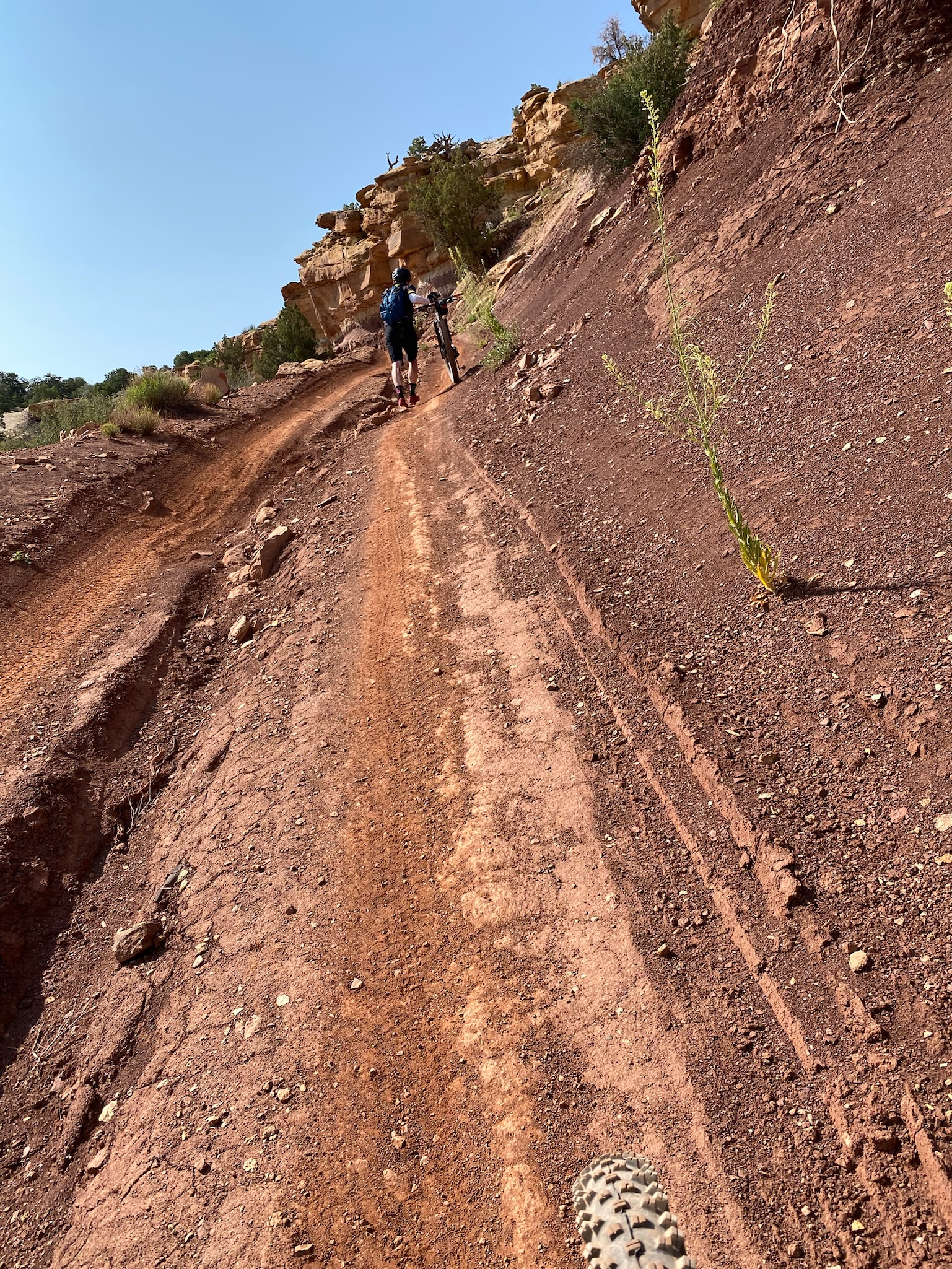
Our guides had warned us about the out-and-back ride today – strenuous and very technical for the first 2-3 miles – with chunky rock gardens, punchy climbs, and numerous rock steps. I really like technical trails, and my personal goal was to ride everything cleanly. As it’s an out and back route – hitting the rock gardens the second time after a day of riding would be the biggest challenge,
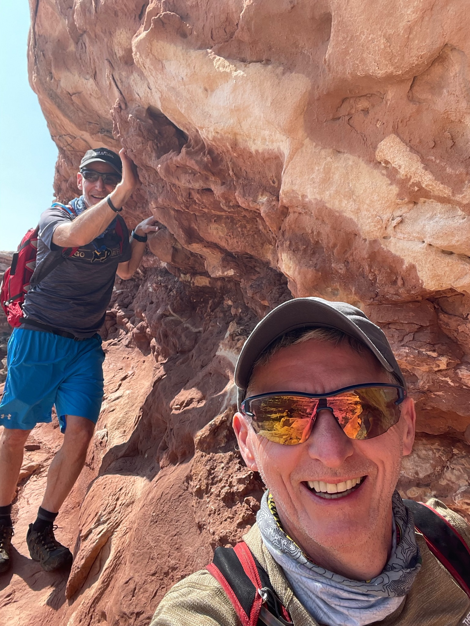
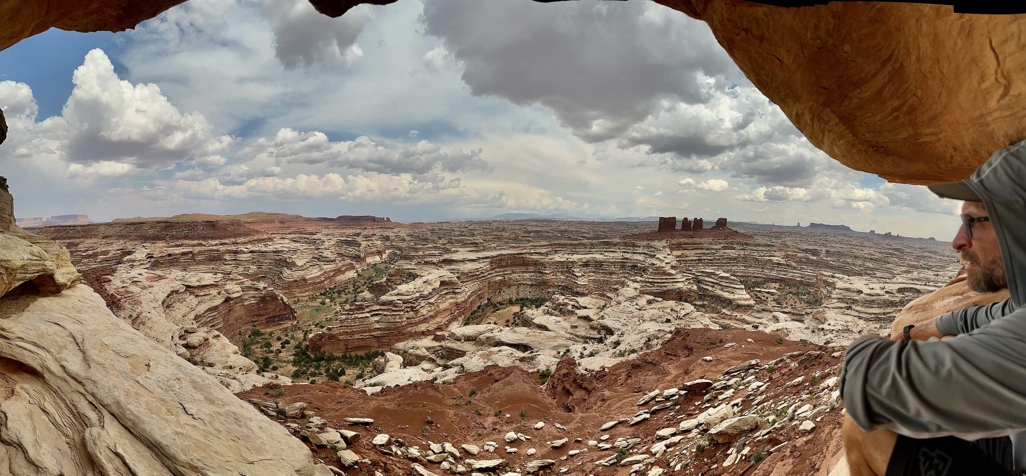
After passing Mother and Child, we stopped for lunch in the shade of The Wall. Then continued a few more miles to Chimney Rock where we stopped for a little hike and climbed up a bit to get some more views of The Maze.
According to Strava it was only 27 miles and only 1700ft of climbing, but everyone was pretty crushed at the end of the day – it’s one of those epic rides that gives you a full body workout and apps like Strava really don’t capture the amount of exertion you’re under.
The Chimney
I didn’t quite achieve my clean run goal – I dabbed a foot a couple of times towards the end – a combination of exhaustion and very tight technical step ups that appeared around a blind corner and left no time to prepare or build up any momentum.
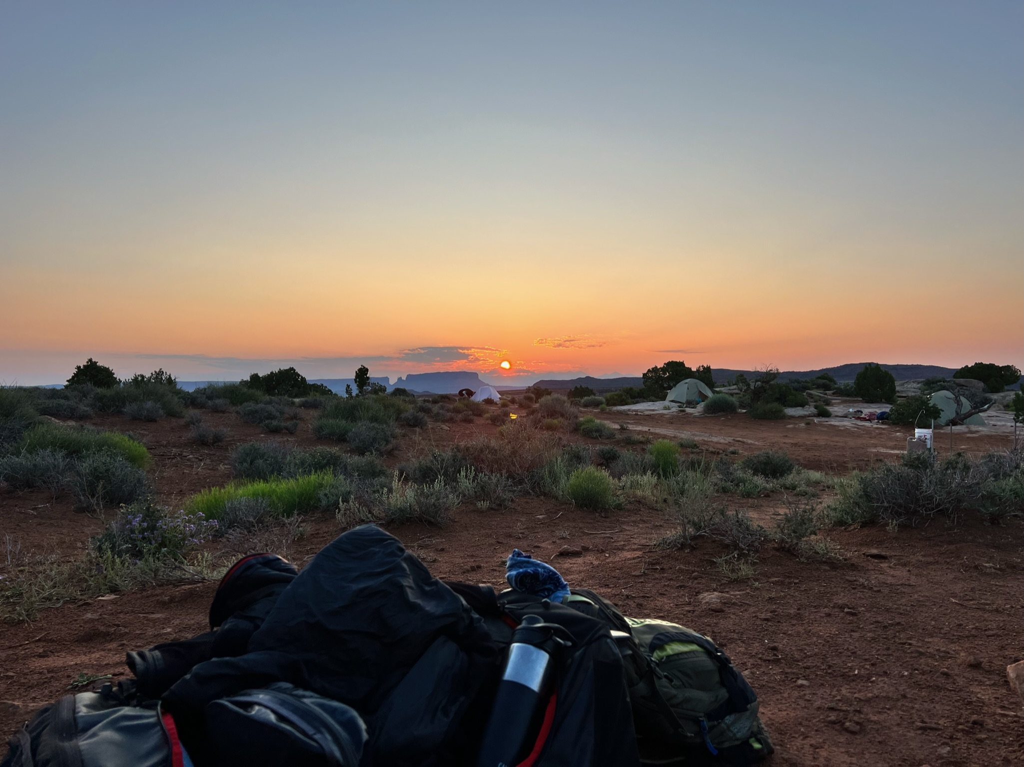
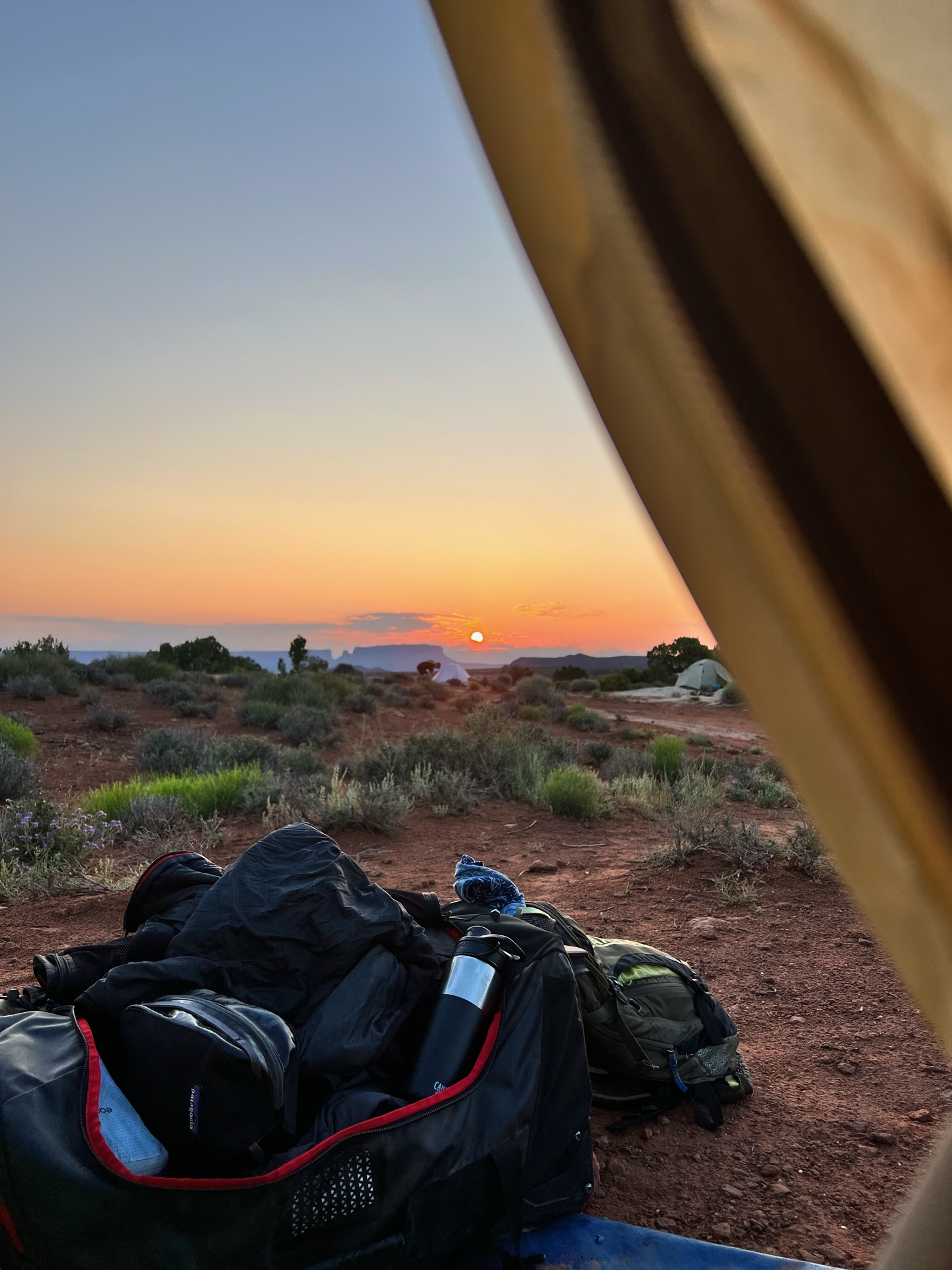
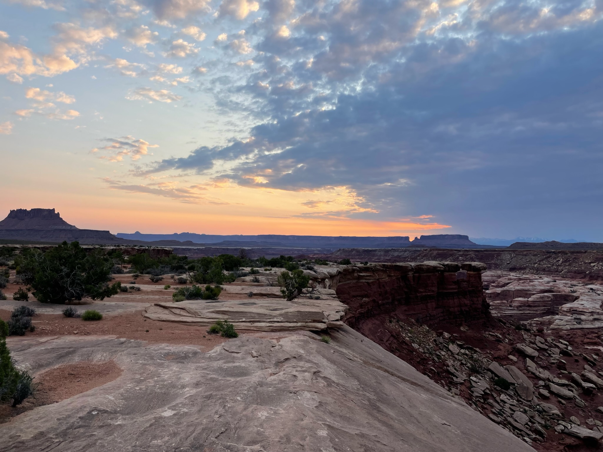
This was also our final night camping and my bladder forced me to get out and see the stars at about 2am – absolutely mindblowing.
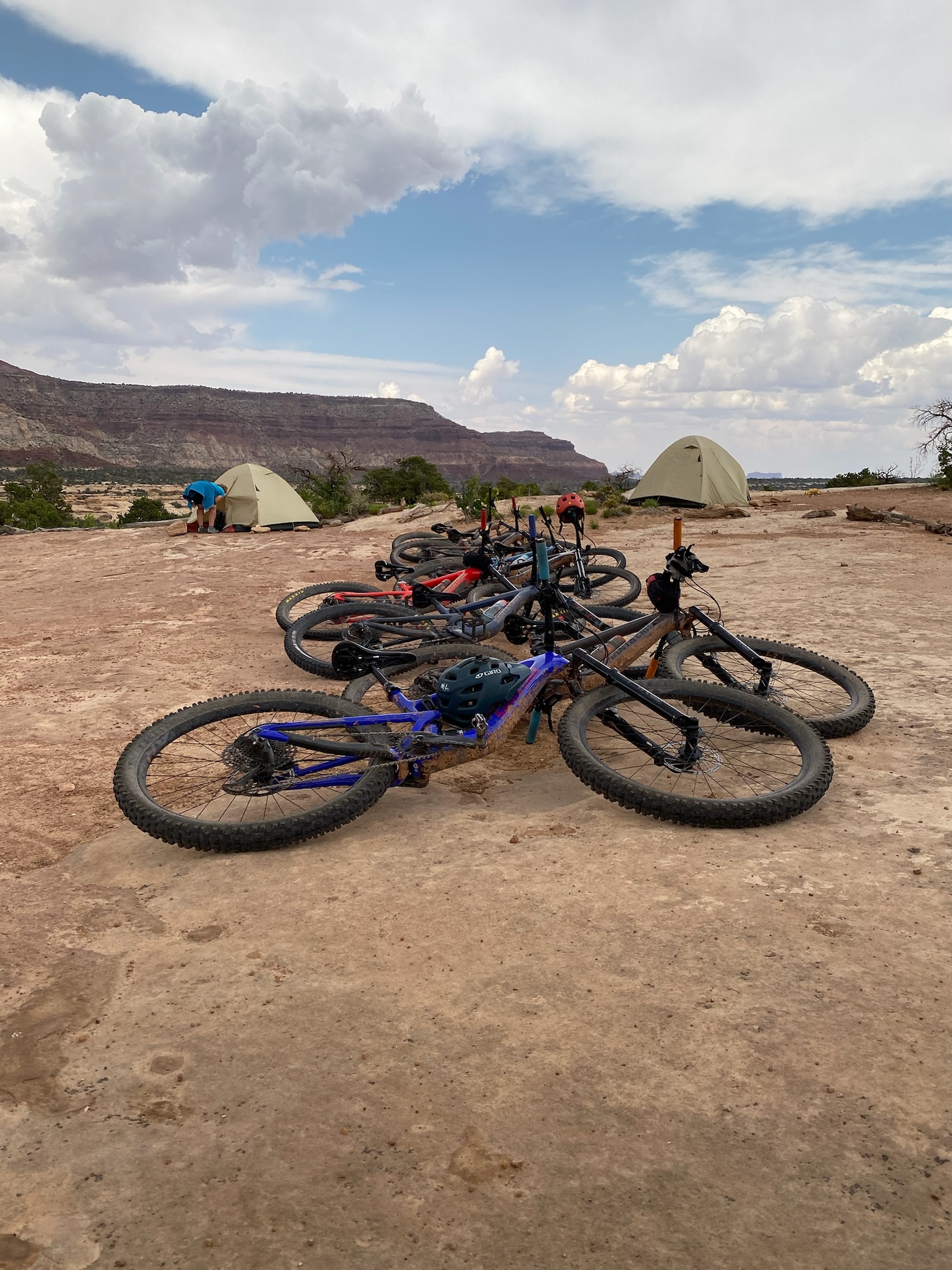
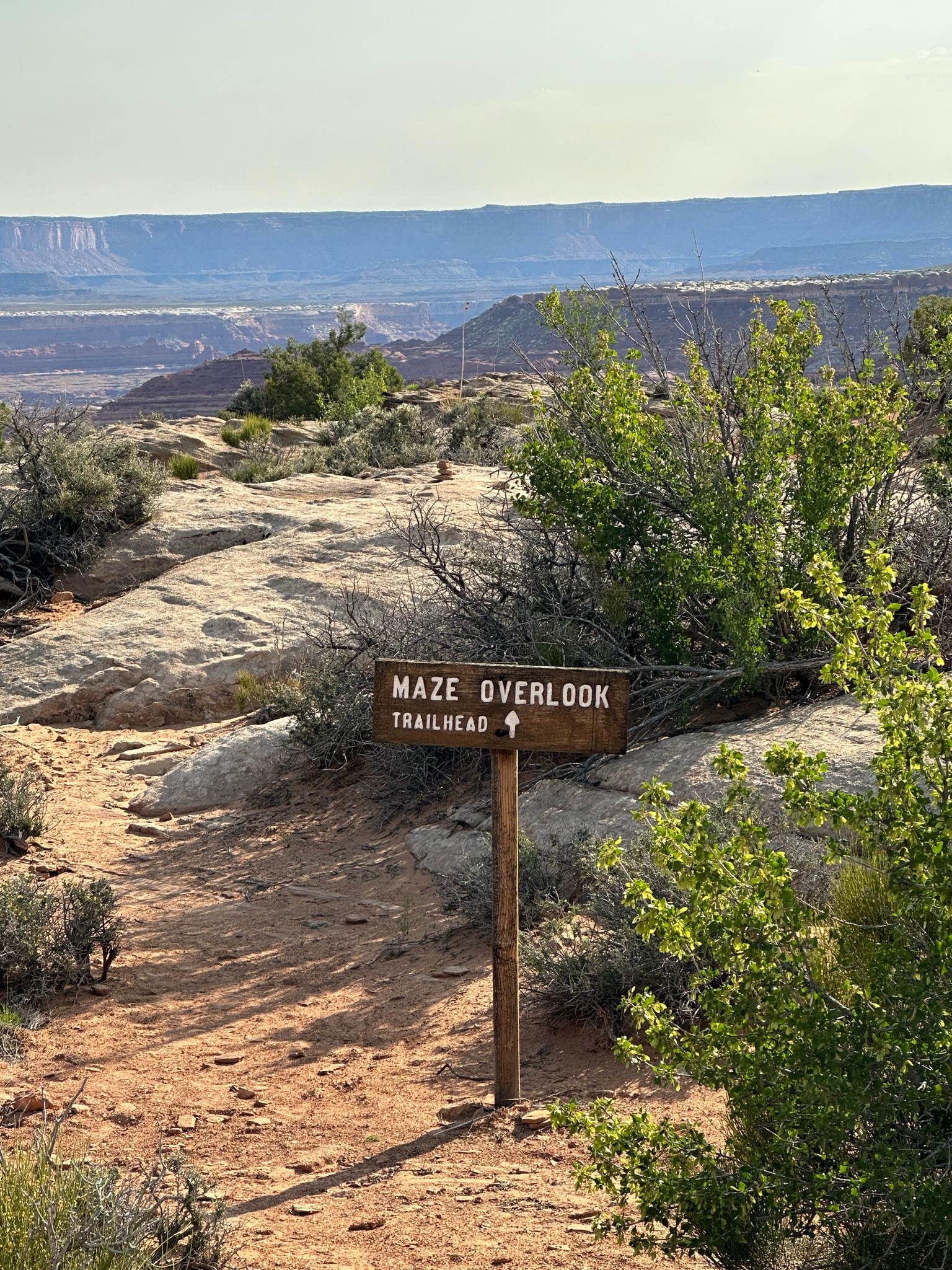
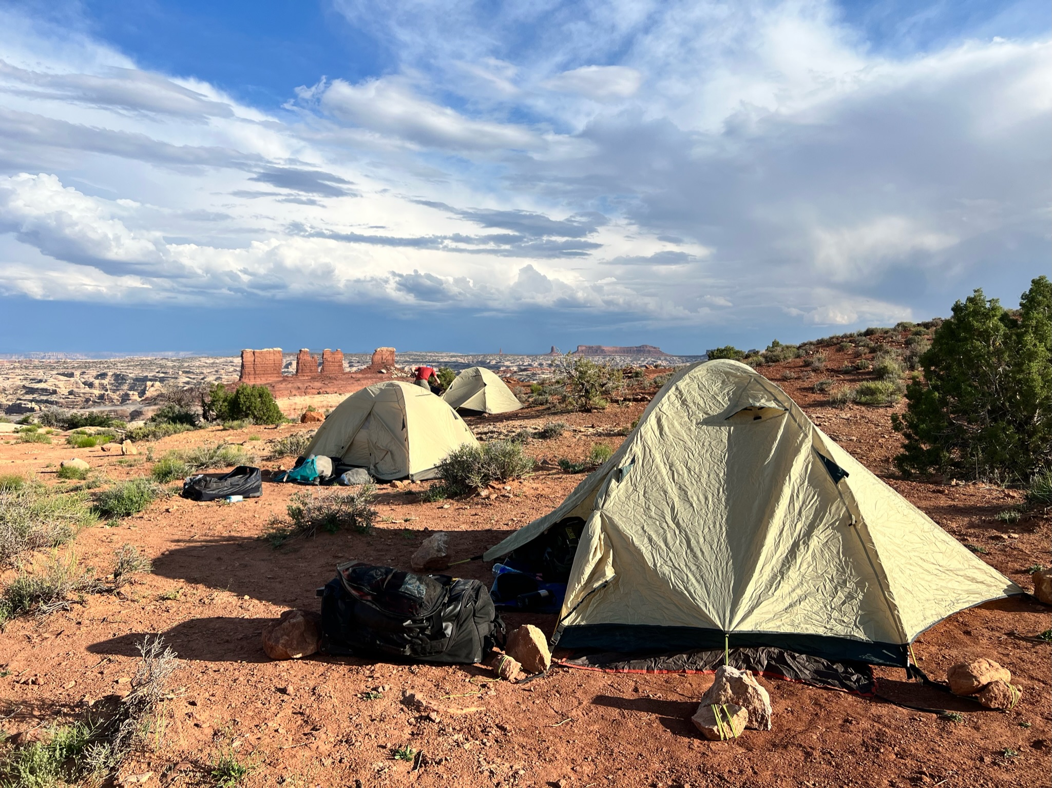
I’ve made a couple of these trips before (White Rim in 2016, Kokopelli in 2022), and I prefer this format – camping at two sites for two nights each vs. a new campsite every night – camping and decamping is a lot of work – especially when you’re already exhausted after a long ride. At this point – it’s worth pointing out that these back-country campsites are nothing more than an area marked for camping. There are no facilities – no water, bathrooms, seating, shade, fire-pits, nothing but boundary markers. But what they lack in amenities, they more than makeup for in location and stunning views. The Maze Overlook is one of the most incredible places I’ve camped at, and even the privy (aka Groover) spot has breathtaking vires while you contemplate the day ahead.
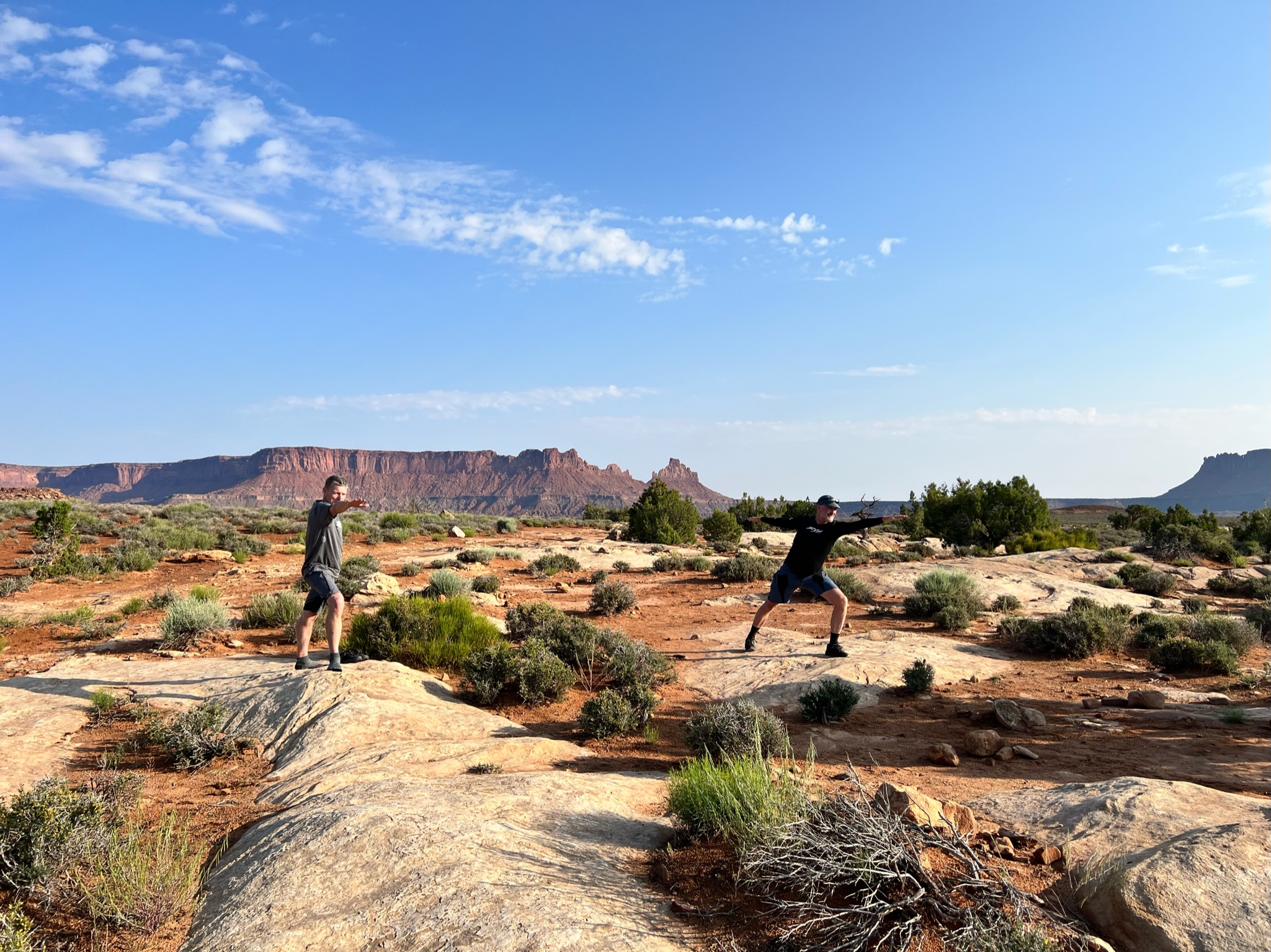
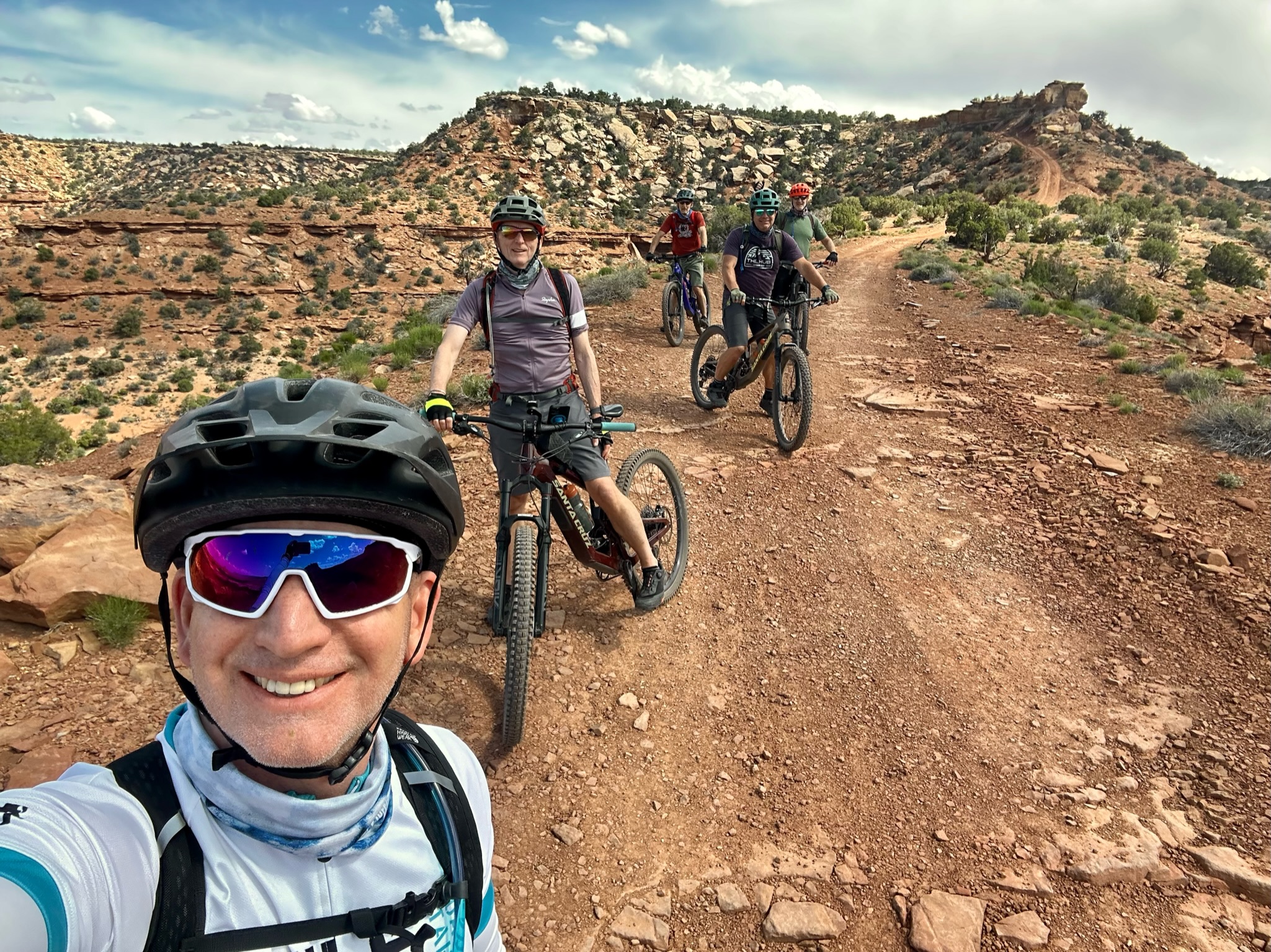
We hit the trails after packing our gear, de-gunging the bikes, doing a little bit of recovery yoga, and helping load the truck.
The morning entertainment was reversing our ride from day 1 – climbing back up the Golden Stairs, and regaining 800 feet in the process. After a quick photo op overlooking Canyonlands and Bagpipe Butte while we waited for the support truck to pick its way through the fairly technical uphill we bombed down and had lunch stop in a dry creek bed with little shade. Hot, hot, hot !
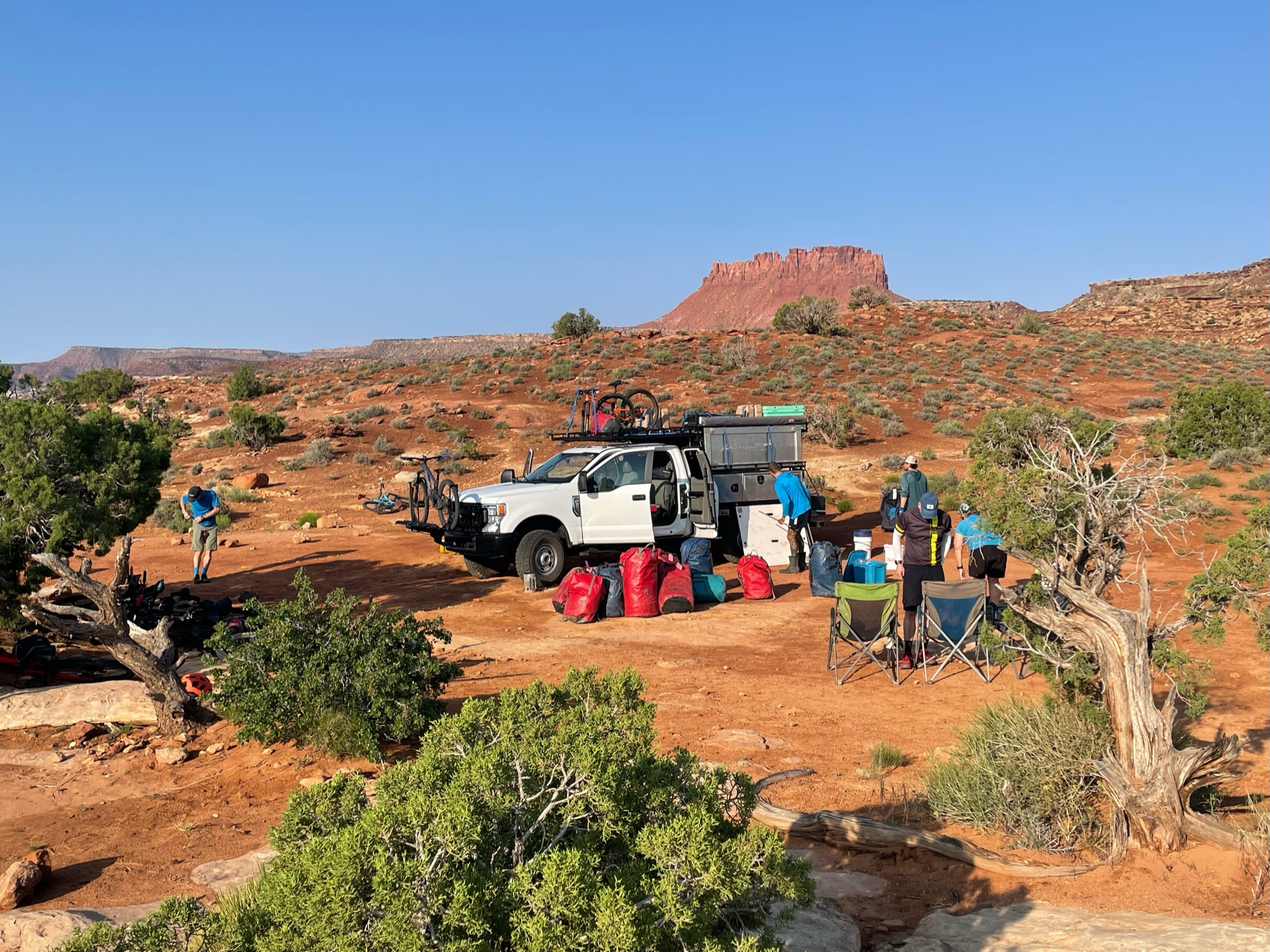
Post lunch was a leisurely cruise down to Teapot Campsite – our home for the next few nights. We had a big day of riding tomorrow on very technical trails. so we walked over to check it out and pick out some lines through the rock gardens.
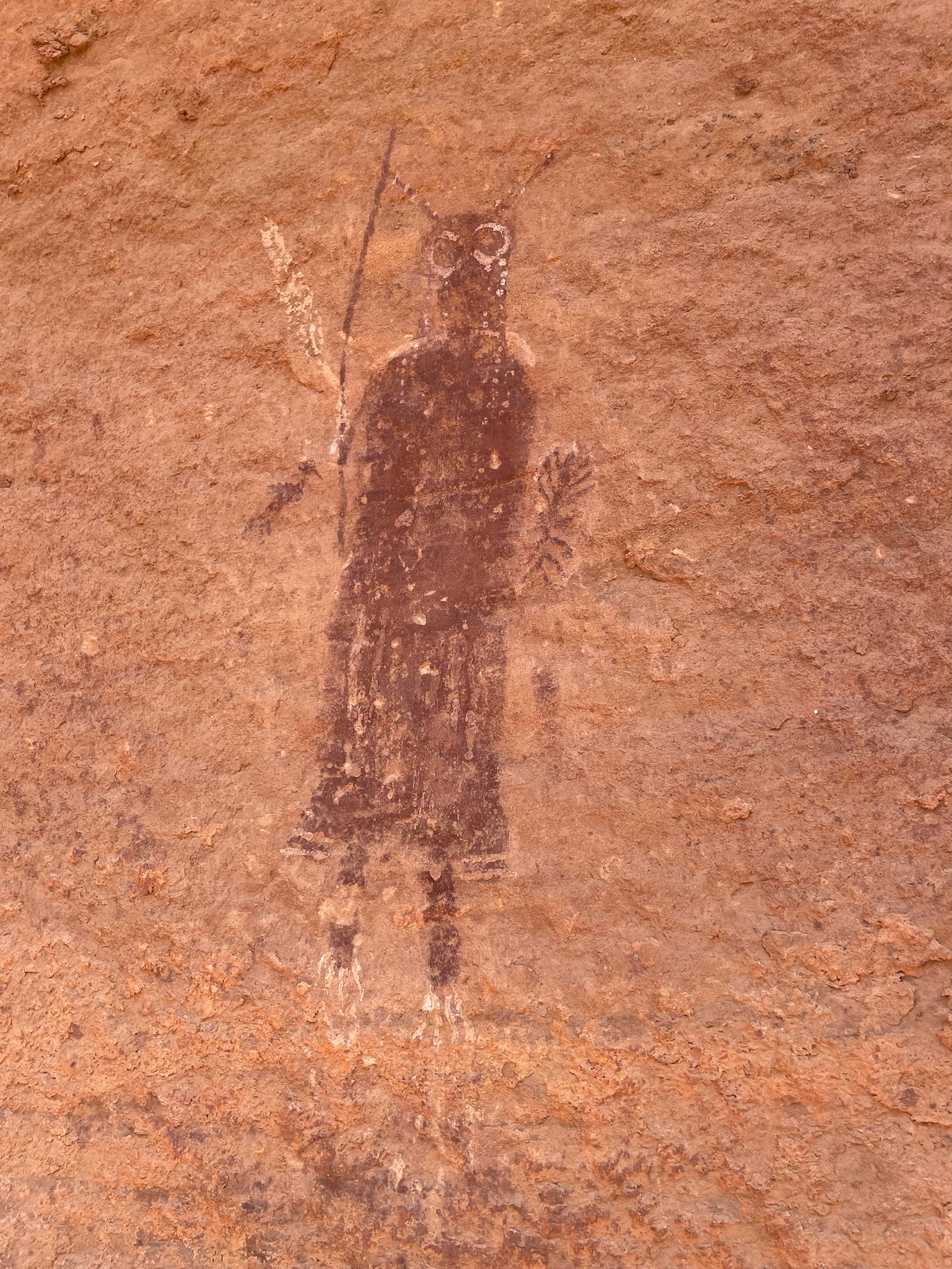
Today was a “rest” day – meaning a rest from riding. Instead, the plan was to hike/scramble/climb down into the canyon below our camp to view some of the world-famous Barrier Canyon pictographs and petroglyphs. The pictographs are believed to date from 2000 BCE to 500 CE (Common Era), but not much is known about who created them or their exact meaning.
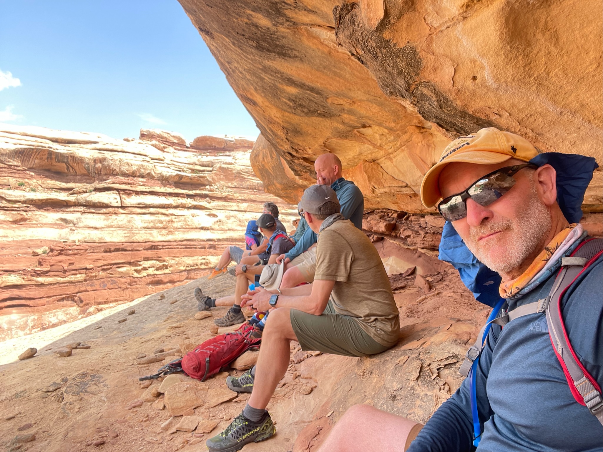
After drinking plenty of the best coffee for 50 miles in any direction and a cooked breakfast, we set off. It took us about 90 minutes to scramble down into the canyon, and unless you know exactly where you are going, I will not attempt this – there are plenty of places you could go off course and get into trouble. It’s a very exposed descent, the trial is not well marked, and a slip or fall would likely end in severe injury. There are some primitive Moki steps at a couple of points if you can find them. Getting out of the canyon with any kind of injury would be impossible without assistance and the right equipment.
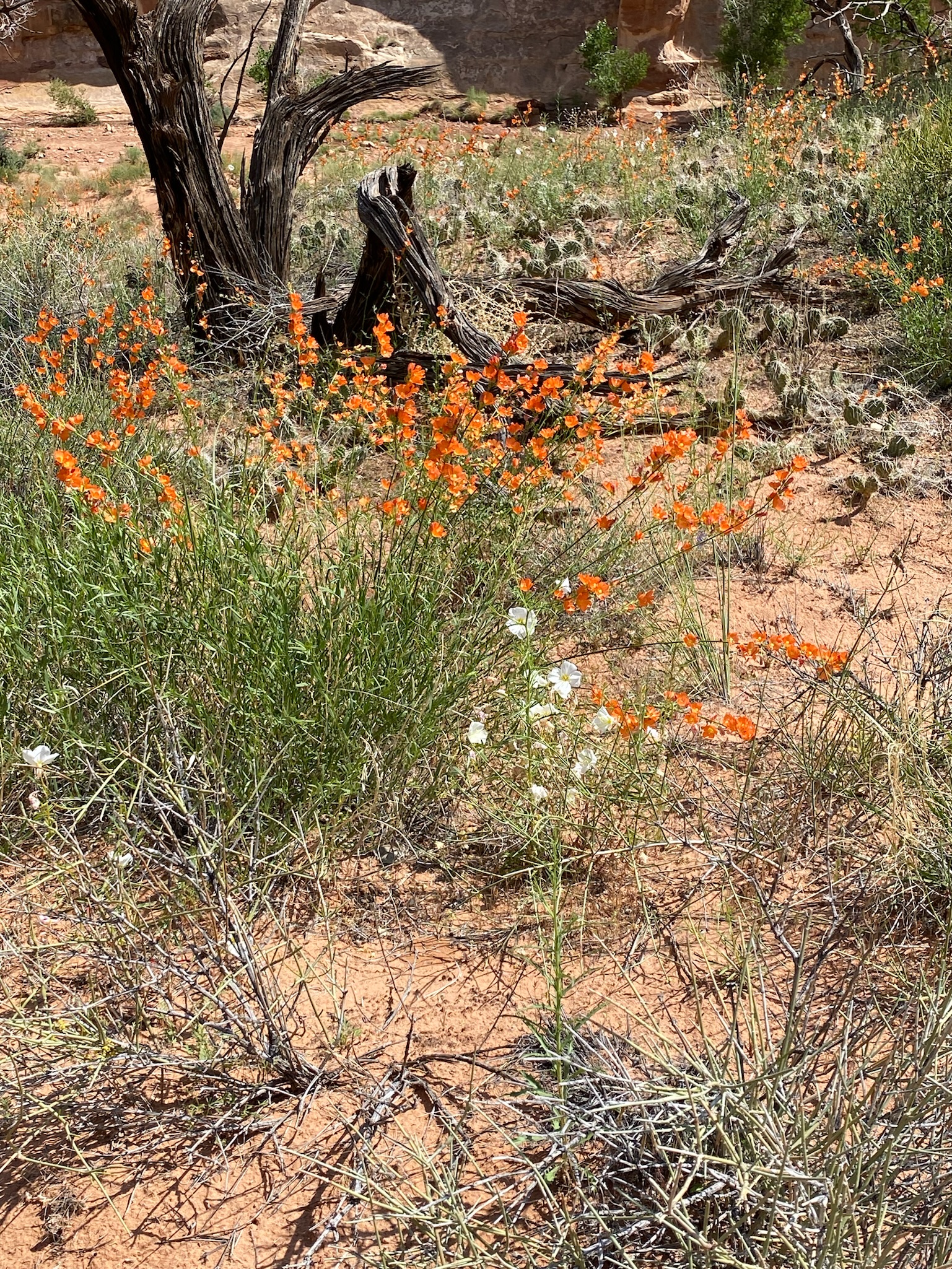
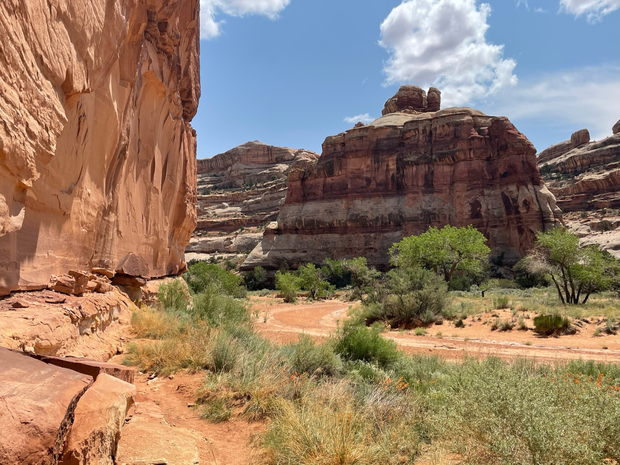
It was a toasty hike to the main Pictograph canyon with full sun, no shade, and no breeze. Once we got to the canyon floor, we were treated to an explosion of desert plants. There’s been a lot of rain in the area, and this was apparently one of the best spring blooms in living memory.
There’s not much online about these pictographs other than people’s accounts of hiking into the canyon to visit them. They are the same Barrier Canyon style as other sites in the area – nearby Horshoe Canyon being one of the most extensive sites.
The hike back up to camp was much quicker and easier but still pretty strenuous, and we even found a little shade. Fortunately, there were no injuries aside from a few scrapes, and it was great to spend time in an area that very few people will ever have the opportunity to visit, given its remoteness.
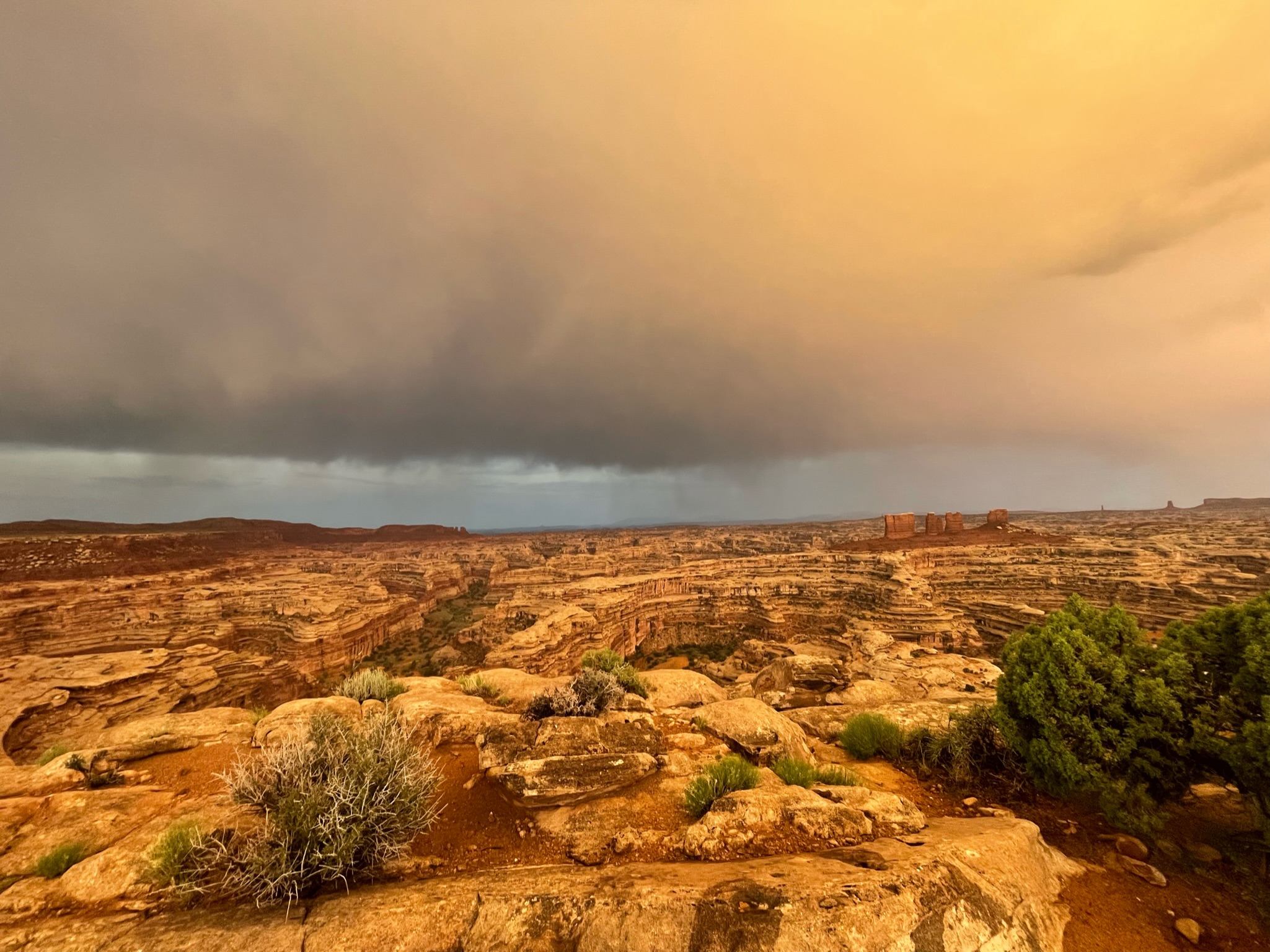
Returning to camp for a few beers, another excellent dinner, and a spectacular lighting and rainbow show was a good end to the day.
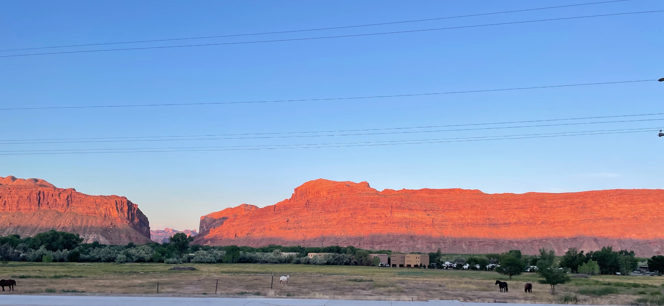
We had an early start, but as we’re all East Coasters – we were all wide awake before the 5.30am alarm. The Sunrise in Moab is always special – the red sandstone cliffs glow red, and you can start to feel the sun’s heat. We packed up the rental car – literally packed it to the gills, and headed off to Green River to meet our Rimtours guides and fellow explorers. We caffeinated on the edge of town at Horsethief Coffee and arrived at Green River in time for breakfast at Tamarisk, where we watched the very swollen Green River rush by.
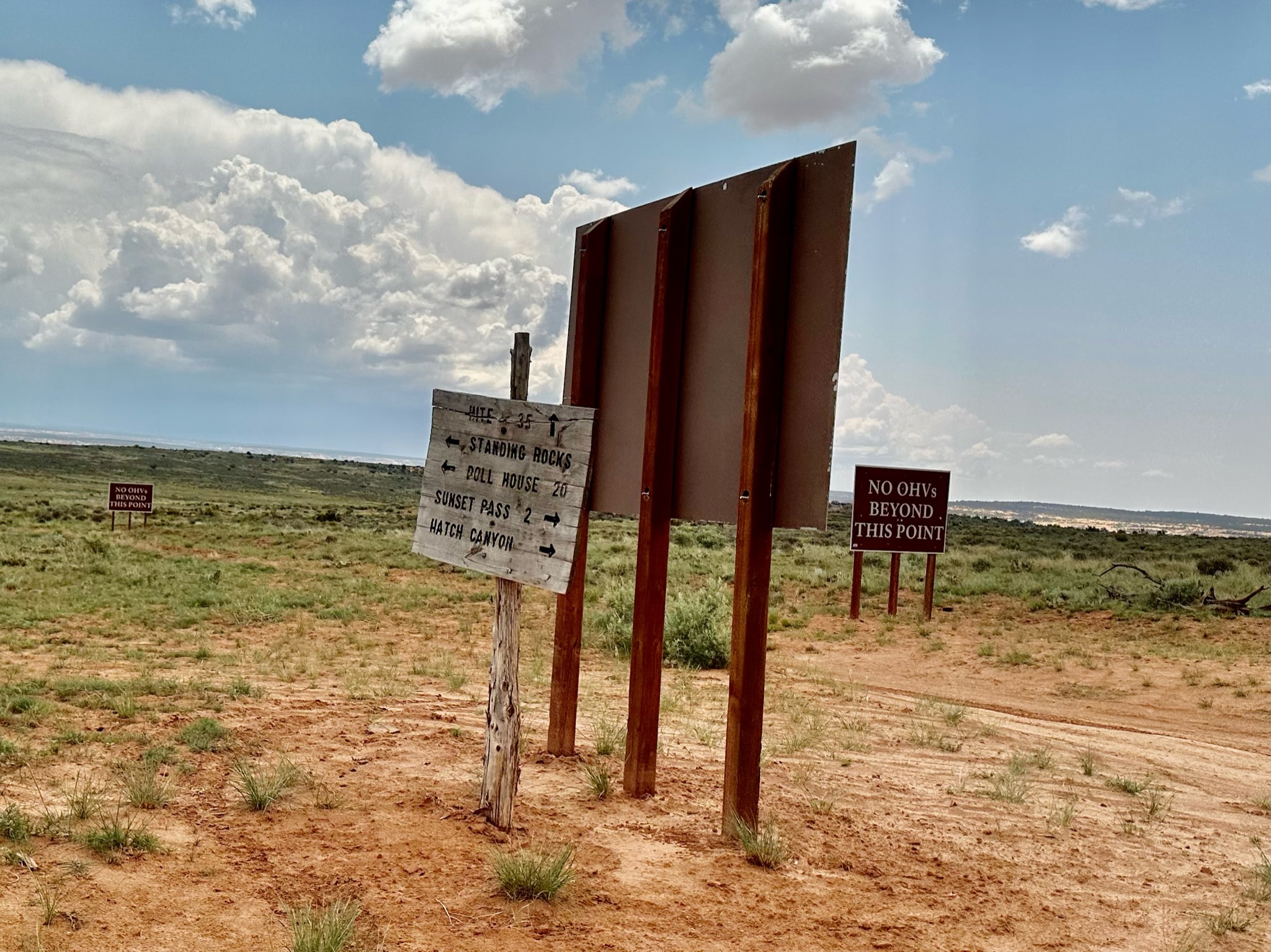
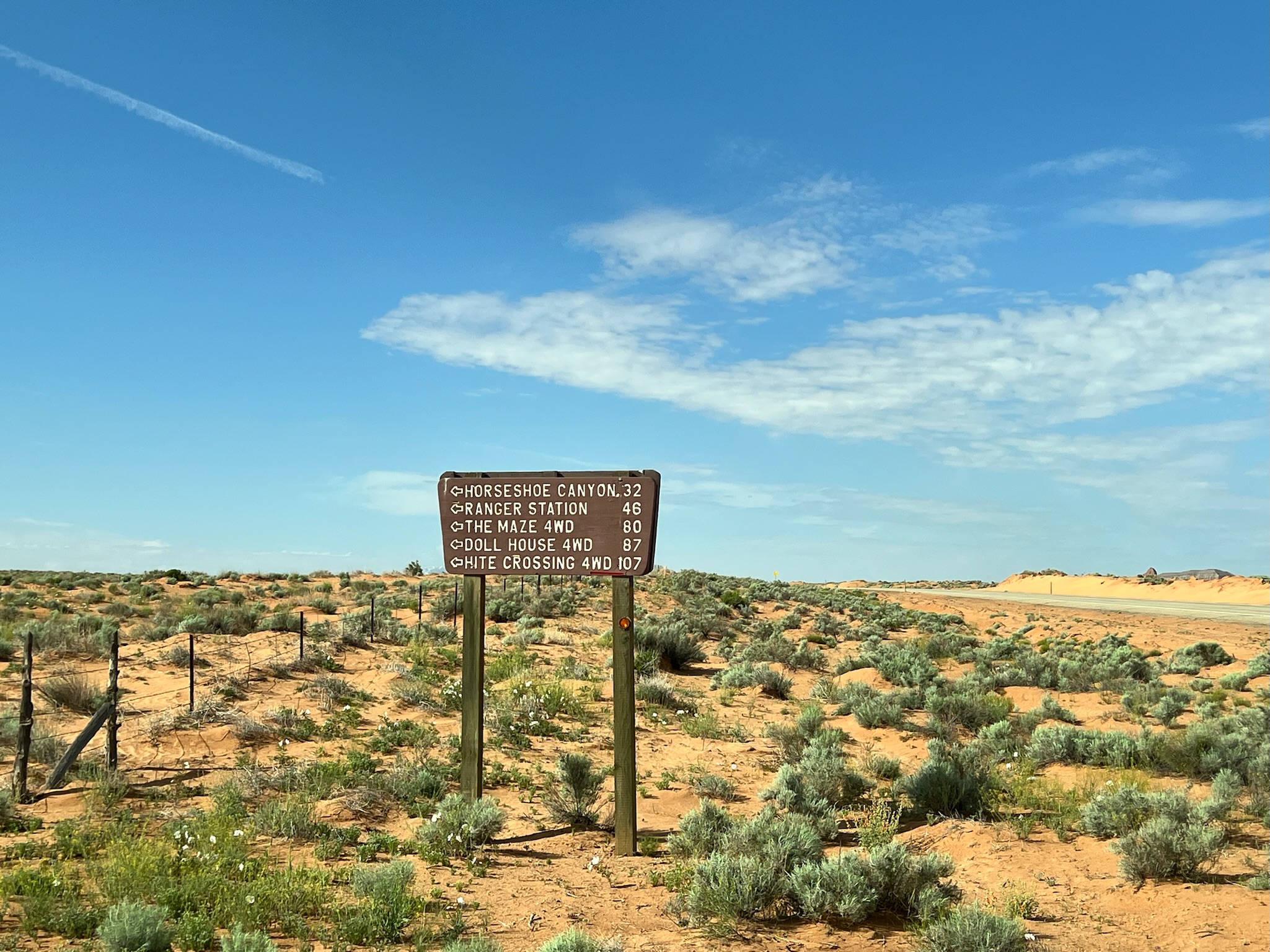
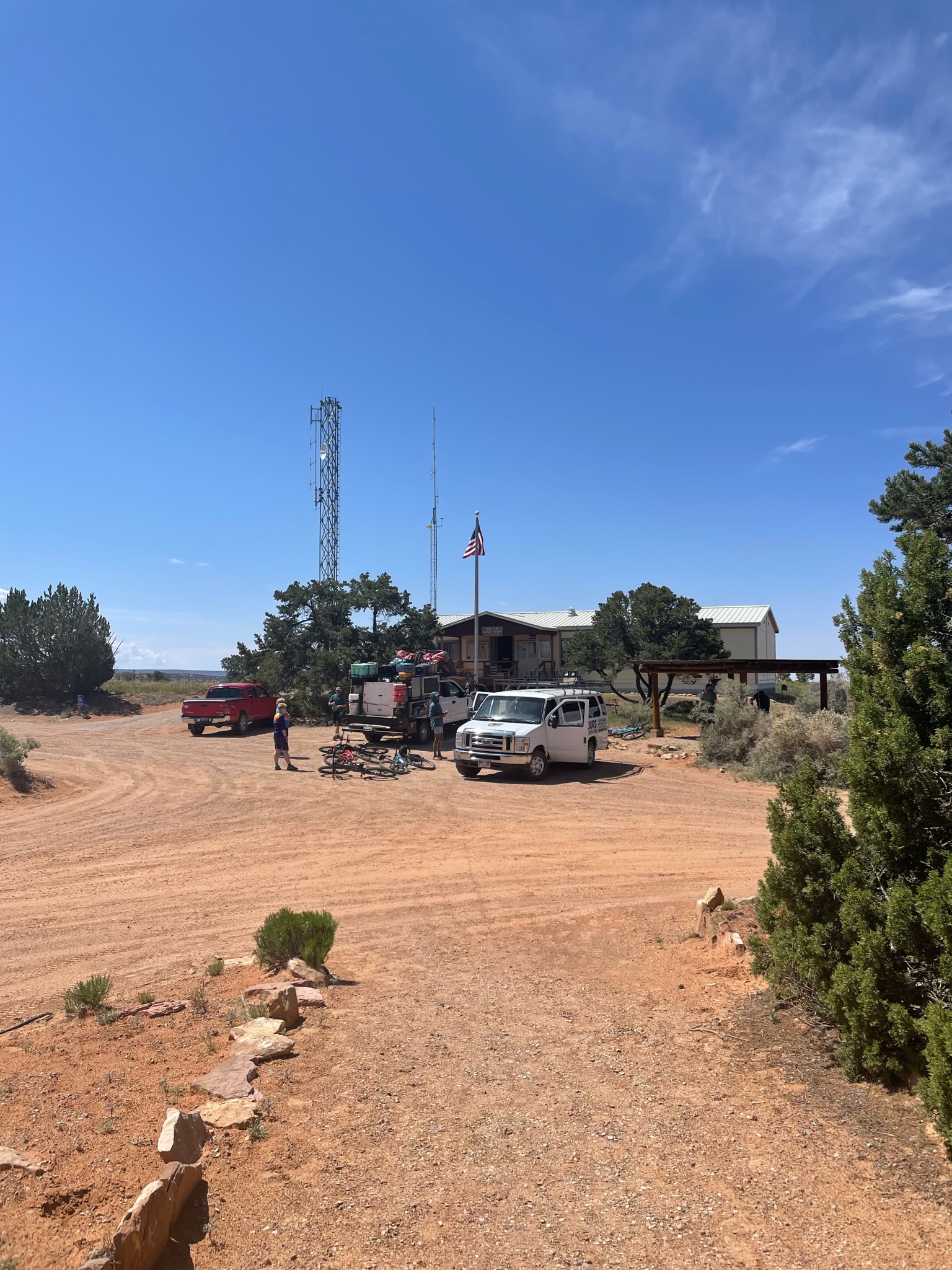
The start of our ride was at the Hans Flat Ranger Station on the western boundary of the Canyonlands. Getting there was an adventure – 46 miles of washed-out Jeep trails through barren BLM-owned high desert. Once there, we met our guides and fellow travelers (Donna and Sue), got our gear and bikes ready, transferred our packs and camping gear, and reviewed the route for the rest of the day.
Saying goodbye to civilization and the extensive facilities at Hans Flat – a shaded picnic table, a vault toilet, and a map. From here on – there’s no potable water, bathrooms, or electricity, and the only shade is provided by stubby Juniper trees and your own headwear.
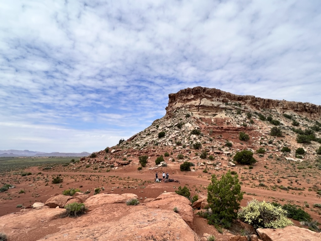
The morning ride was a pretty easy, flat ride along the top of the Orange Cliffs, stopping for pictures at the Bagpipe Bute overlook; we then dropped down the Flint Trail switchbacks and had a quick lunch break at the bottom.
After lunch, we dropped a few more hundred feet and entered the Canyonlands NP, where we encountered our first Canyon. As impressive as it was – we’d discover in the next hour or so that it was barely a ditch at the side of the trail compared to The Maze.
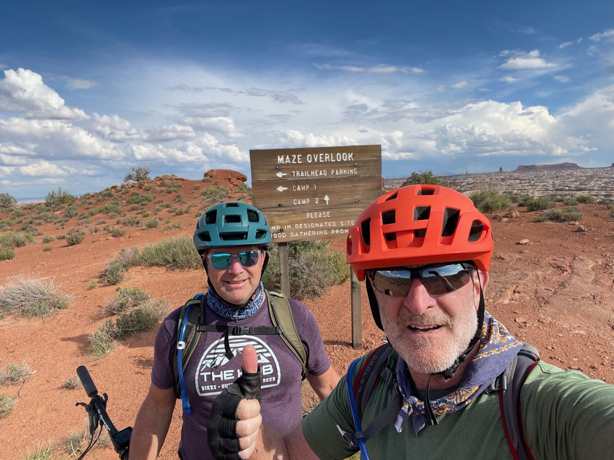
Day 1 – mission accomplished – 28 fairly easy miles. The final destination for day 1 is Maze Overlook, Camp 1, and our base for the next few days.
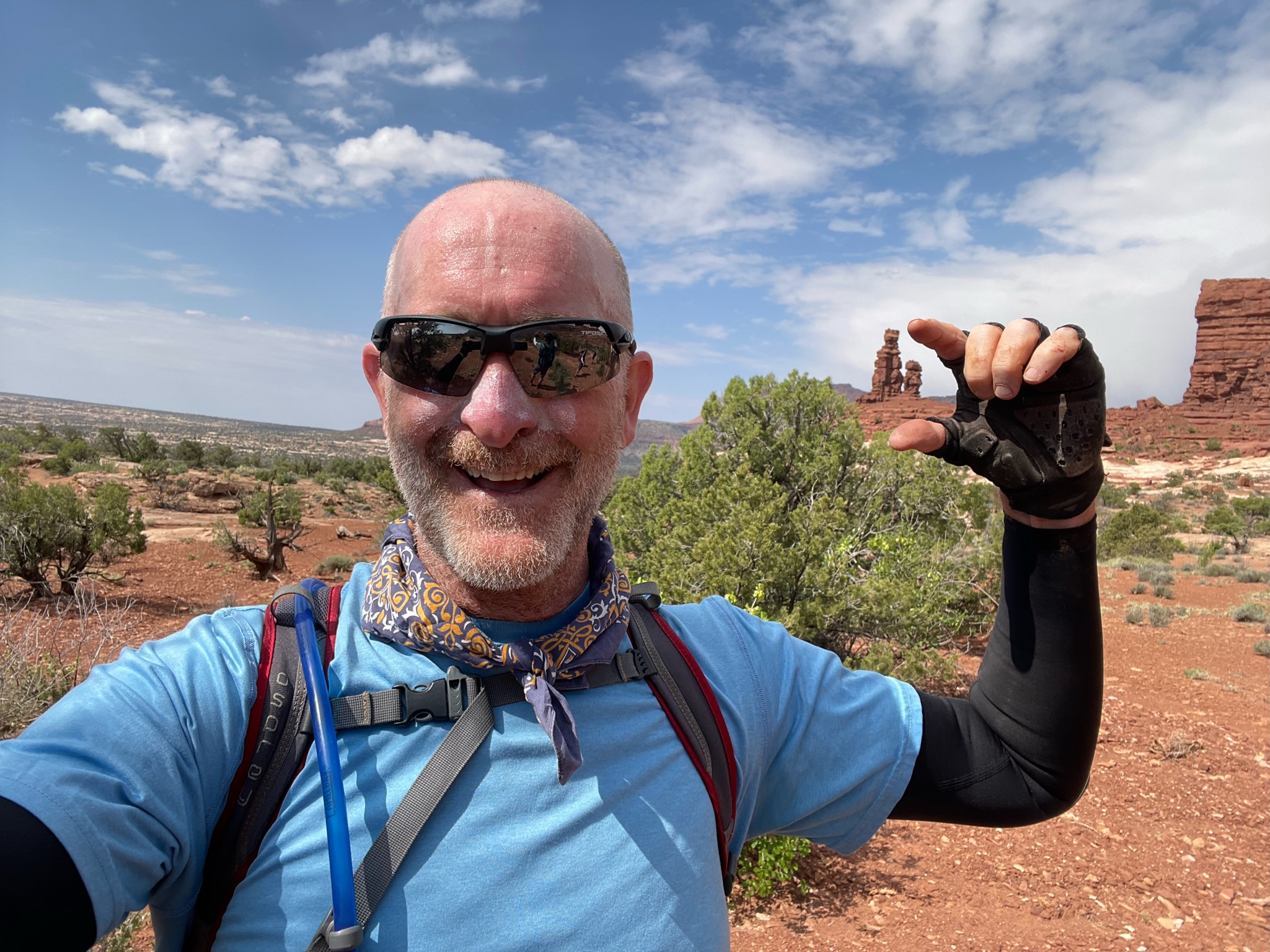
Day 0 (May 18th, 2023) was our acclimation day before heading off into the Canyon Lands on our 5-day MTB tour of the Maze organized through Rimtours. We started with Breakfast at the Jailhouse – a bit of a Moab institution. Then some last-minute shopping for gear and food/drink. In the afternoon – we crammed a lot more into our last day of civilization for a while – Arches NP Hike, more shopping, dinner, and Slickrock Sunset.
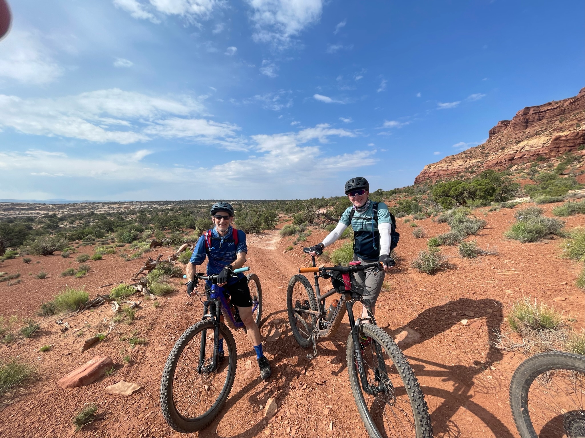
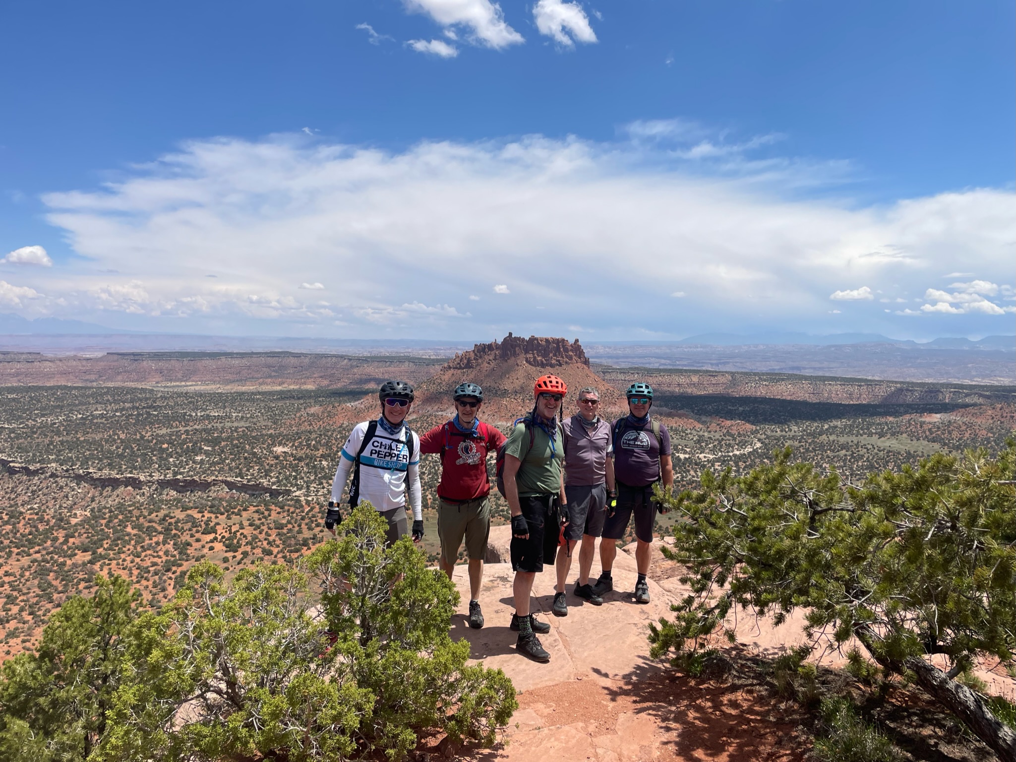
(from left to right – David, Rich (author), Bryan, Tim, and Iain)
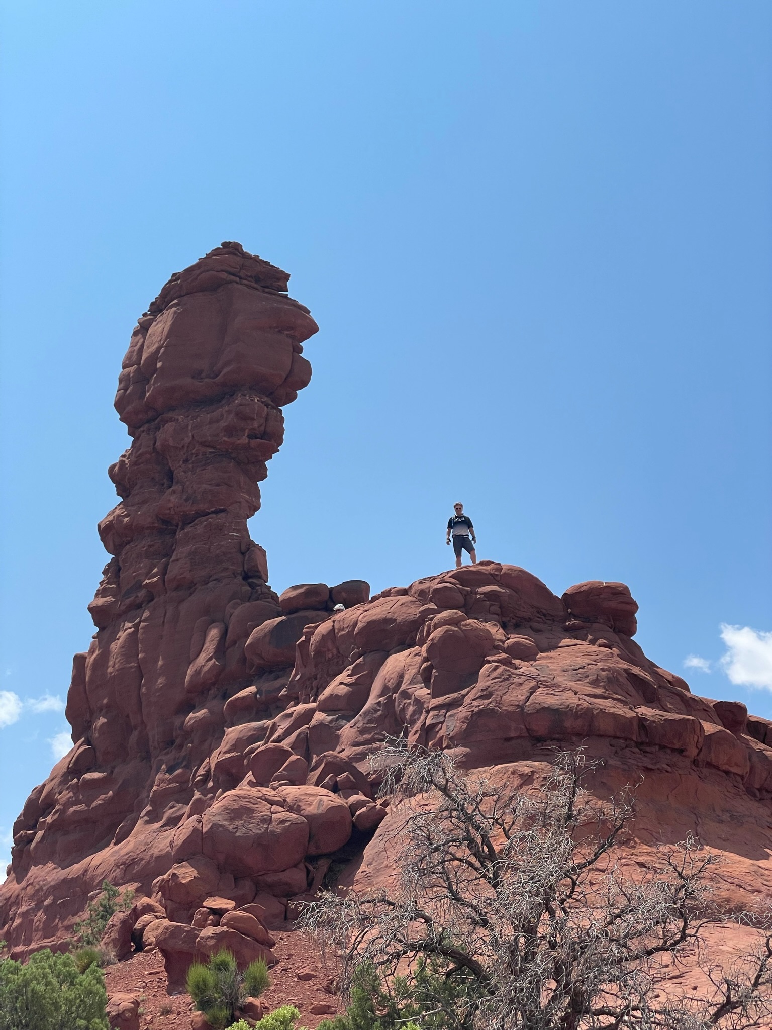
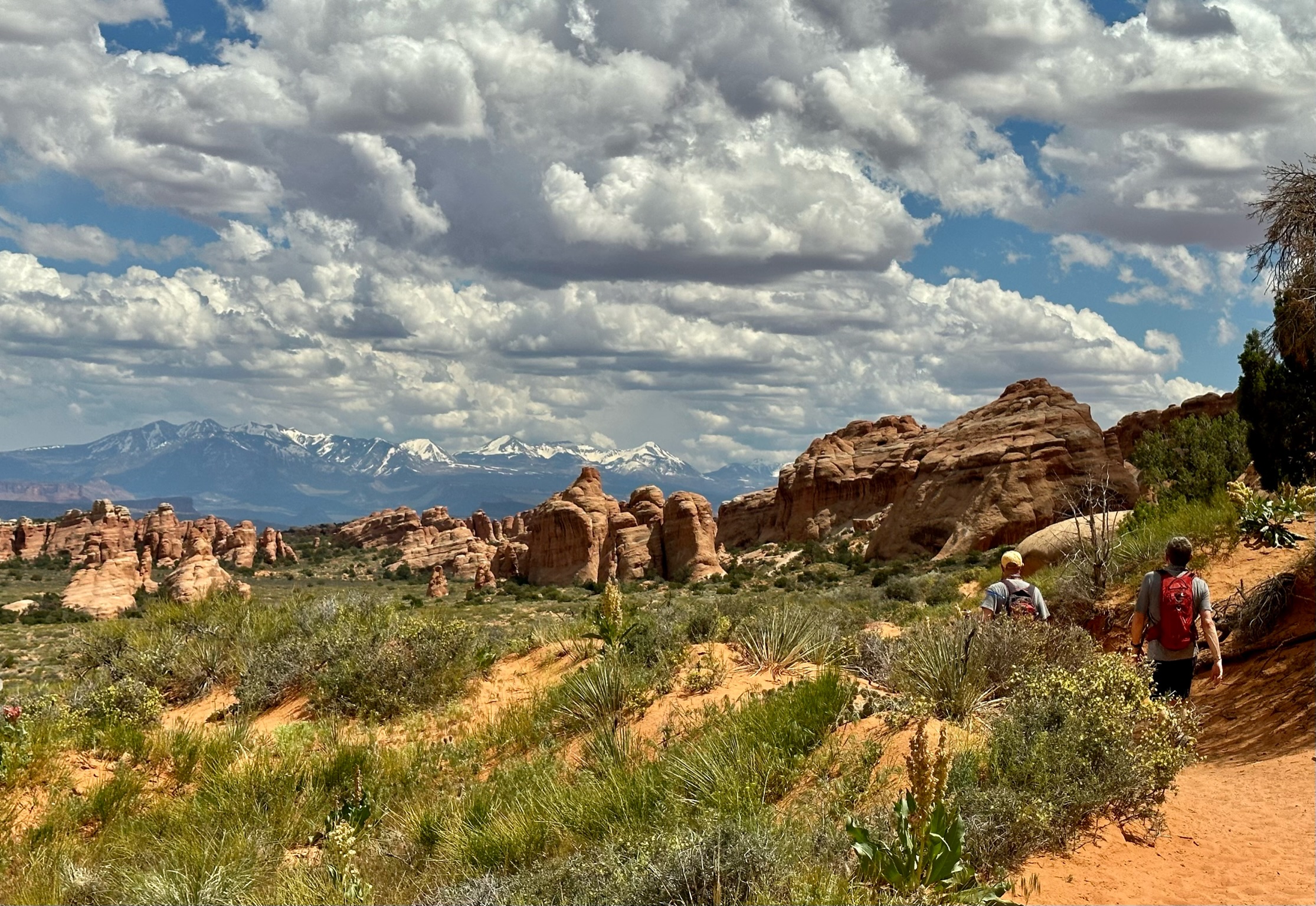
Please be advised that if you intend to hike at Arches National Park, a highly popular destination, it is important to book in advance. Otherwise, you may face disappointment and be turned away at the gate. As most of us have already explored the more popular sights at Arches, we ventured deeper into the park towards Devil’s Garden. We followed the regular trail to Double O Arch and Fallen Angel and returned via the more interesting primitive trail. Hiking at Arches never disappoints though it can get pretty crowded. Strava map here.
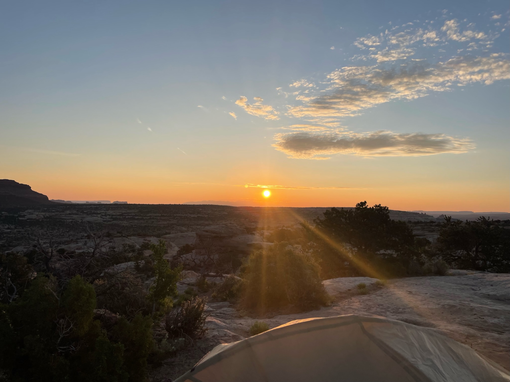
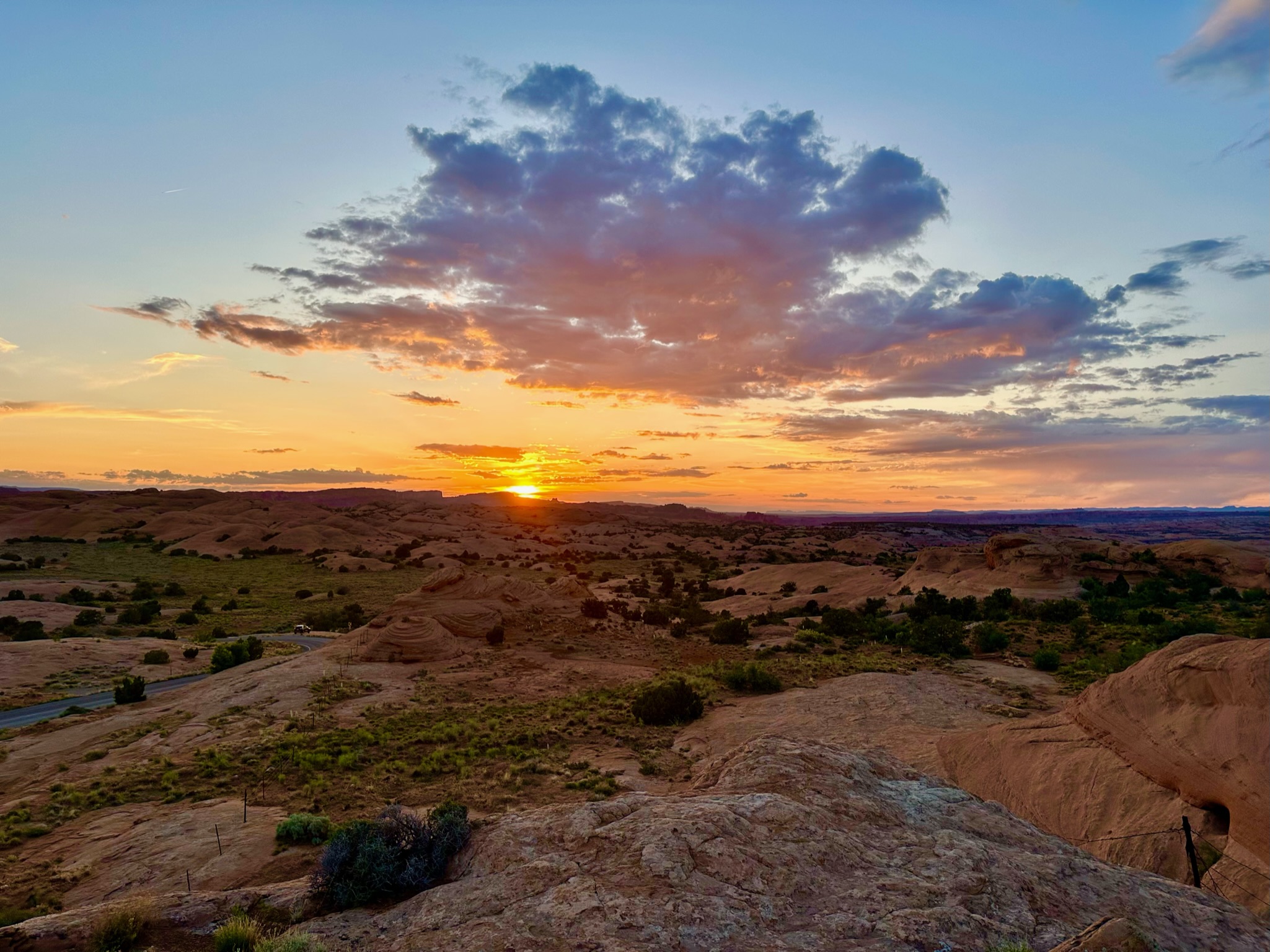
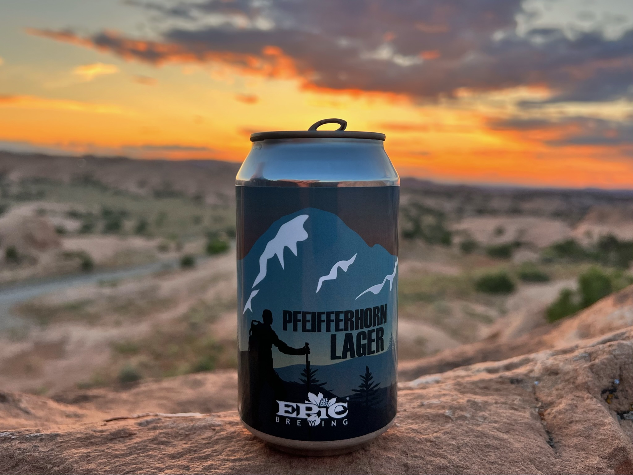
A great spot to catch the sunset in Moab is located outside town on the rocks overlooking the Slickrock trails. Although it may not have been considered a spectacular sunset by some, it’s a lovely spot to relax with a beer, enjoy the sunset, and chat about our upcoming plans for the morning.
“putting the can back in Canyonlands” – Photo by Rich, slogan by Bryan !